back to event picture gallery . . .
back to the 2016 BIKE WEEK ROAD TRIP index . . .
THE 2016 BIKE WEEK ROAD TRIP
PREV: Day 01 [26FEB16/FRI] pick up SUV
Day 02 [27FEB16/SAT] West Sacramento CA to Kingman AZ... selected photos
Day 02 [27FEB16/SAT] West Sacramento CA to Kingman AZ... (1) photos 001-073
Day 02 [27FEB16/SAT] West Sacramento CA to Kingman AZ... (2) photos 074-147
Day 03 [28FEB16/SUN] Kingman AZ to Albuquerque NM...
Day  02 [27FEB16/SAT] West Sacramento CA to Kingman AZ
          TOTAL TODAY  627 miles/10hrs25min
          GRAND TOTAL  627 miles

3-ring binder entry: points of interest, motel info, maps, click here
|
Depart West Sac homestead: 52of, 5:51amPST, 883mi
|
|
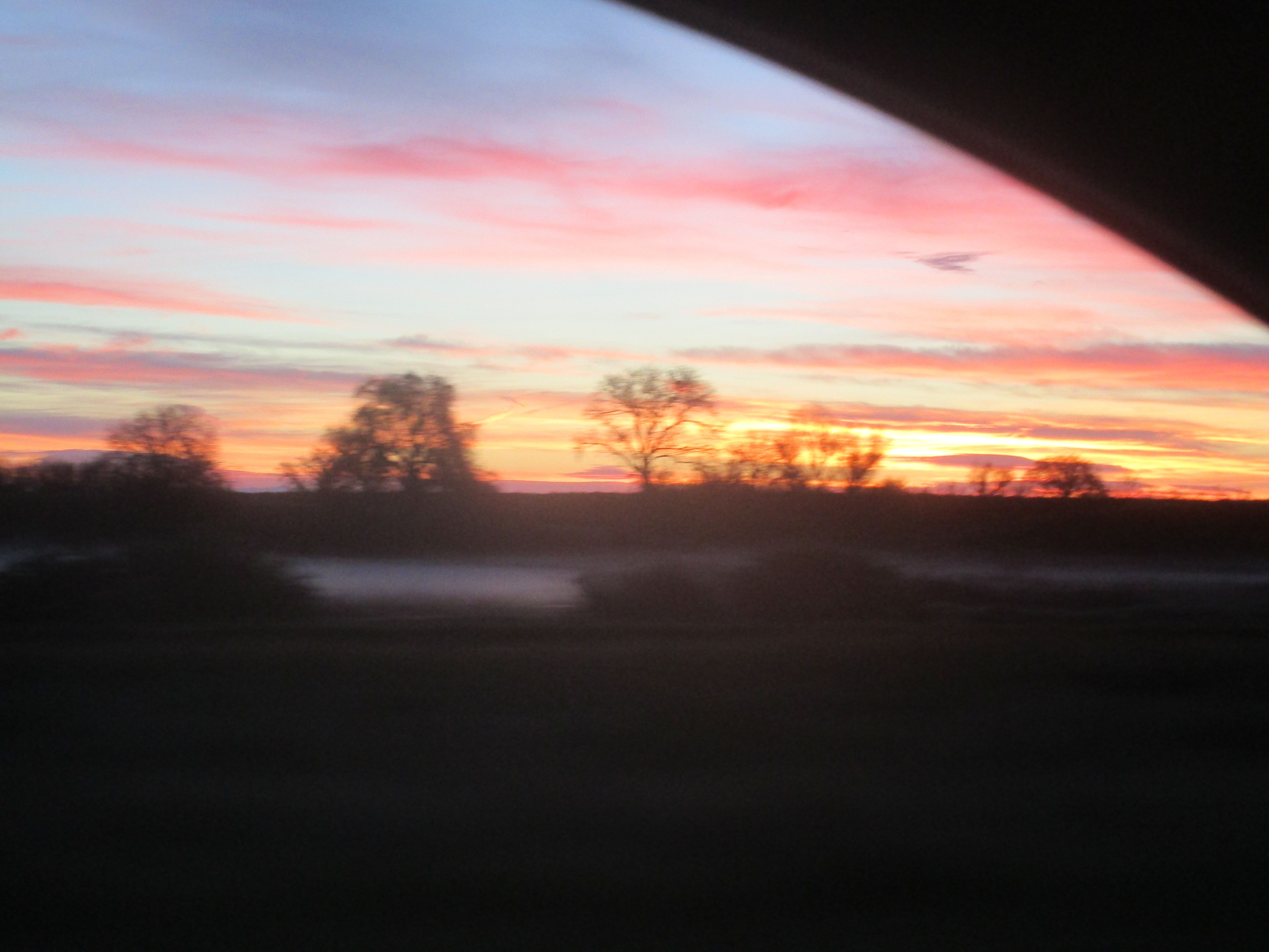
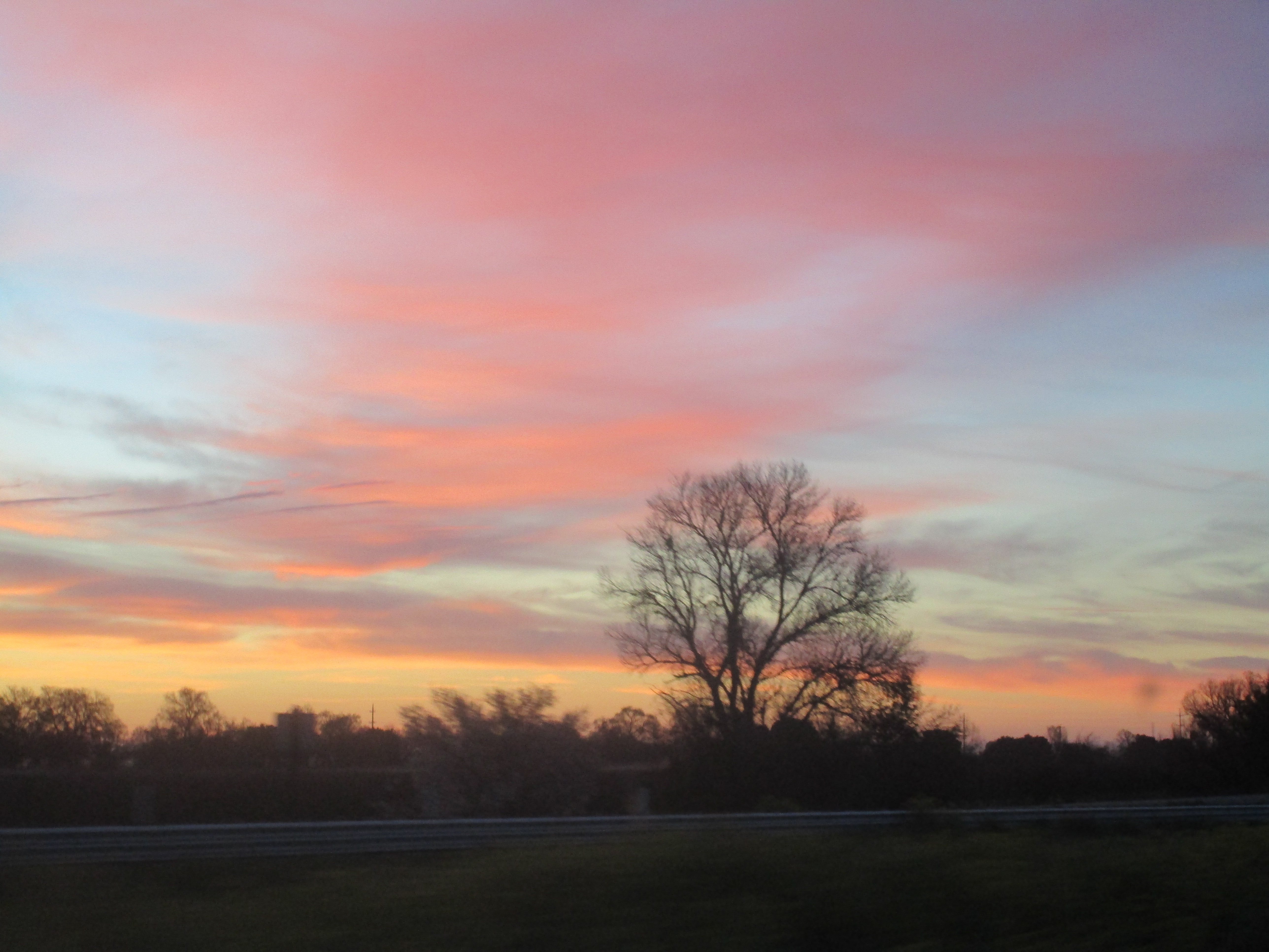
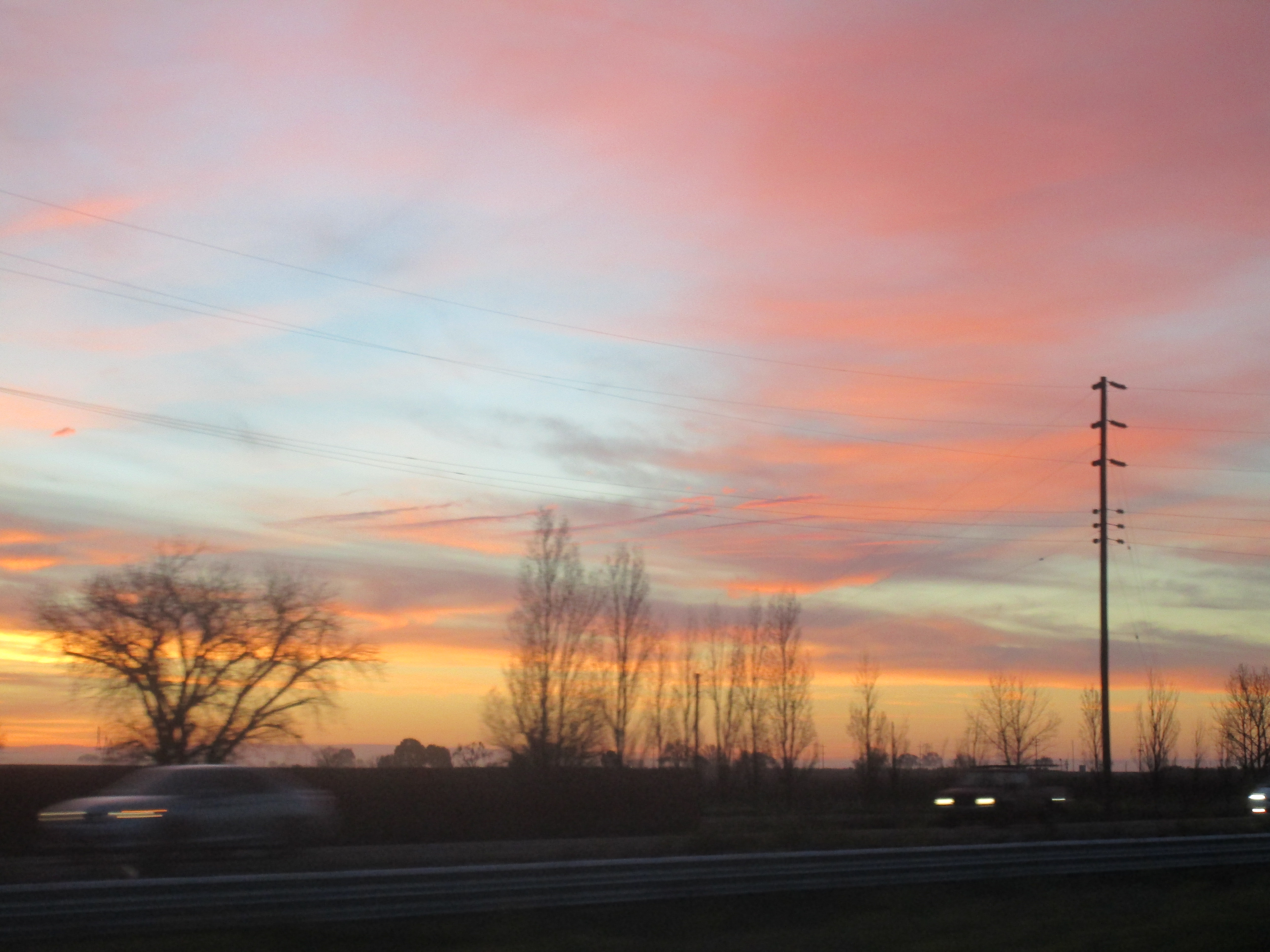
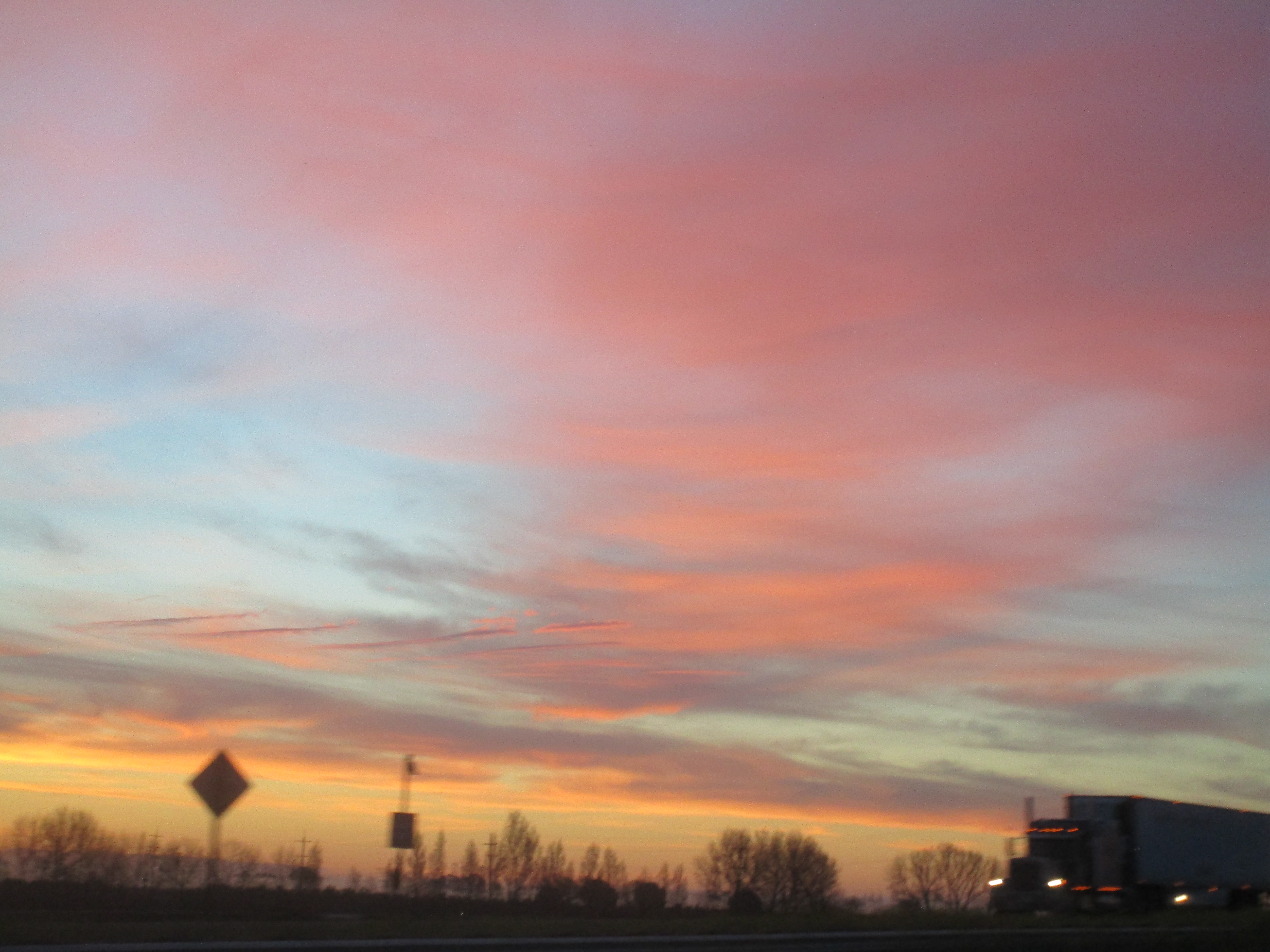
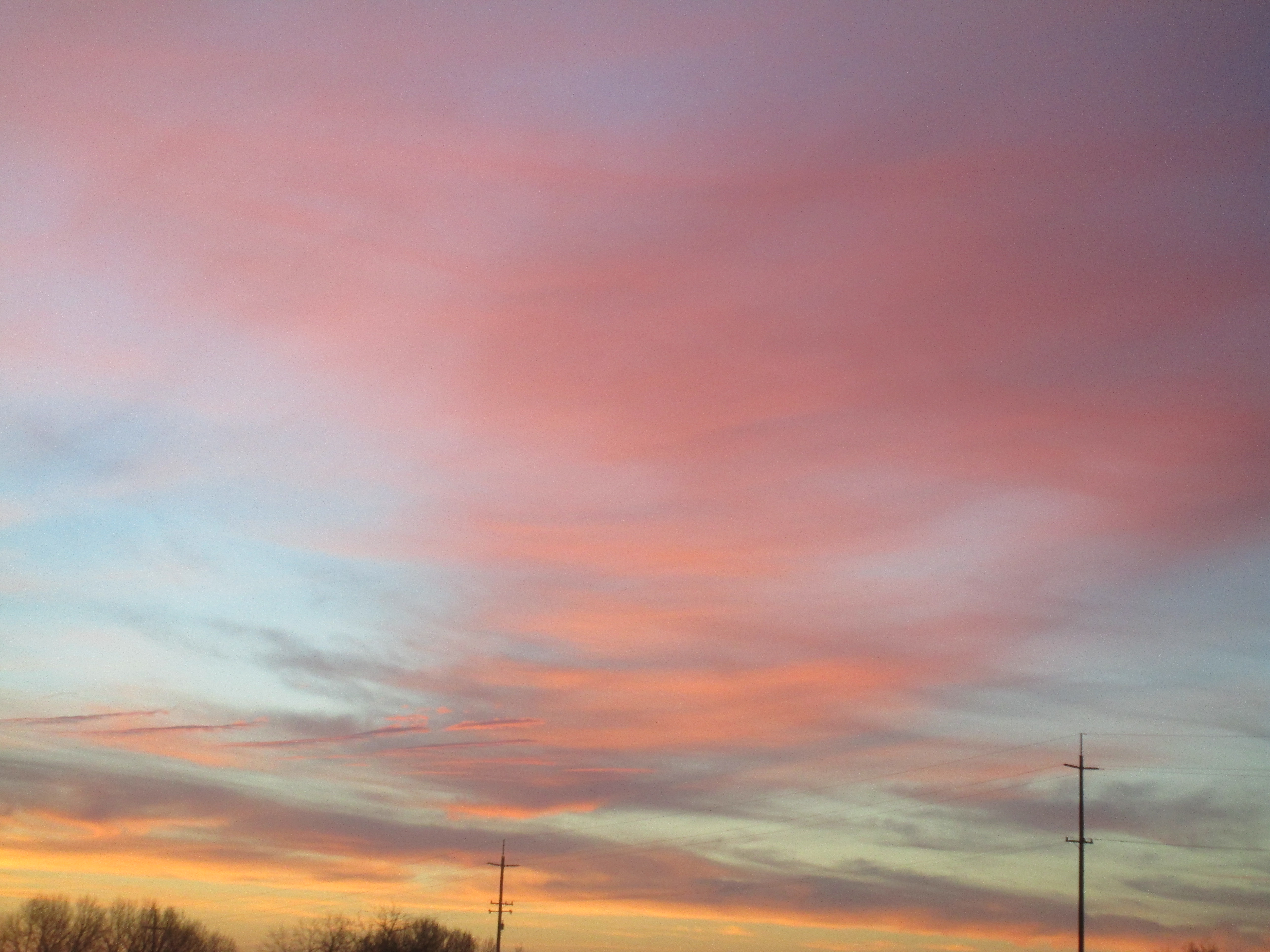
Rolling south on I-5: sunrise as we approach southern border of Sacramento county...
|


|
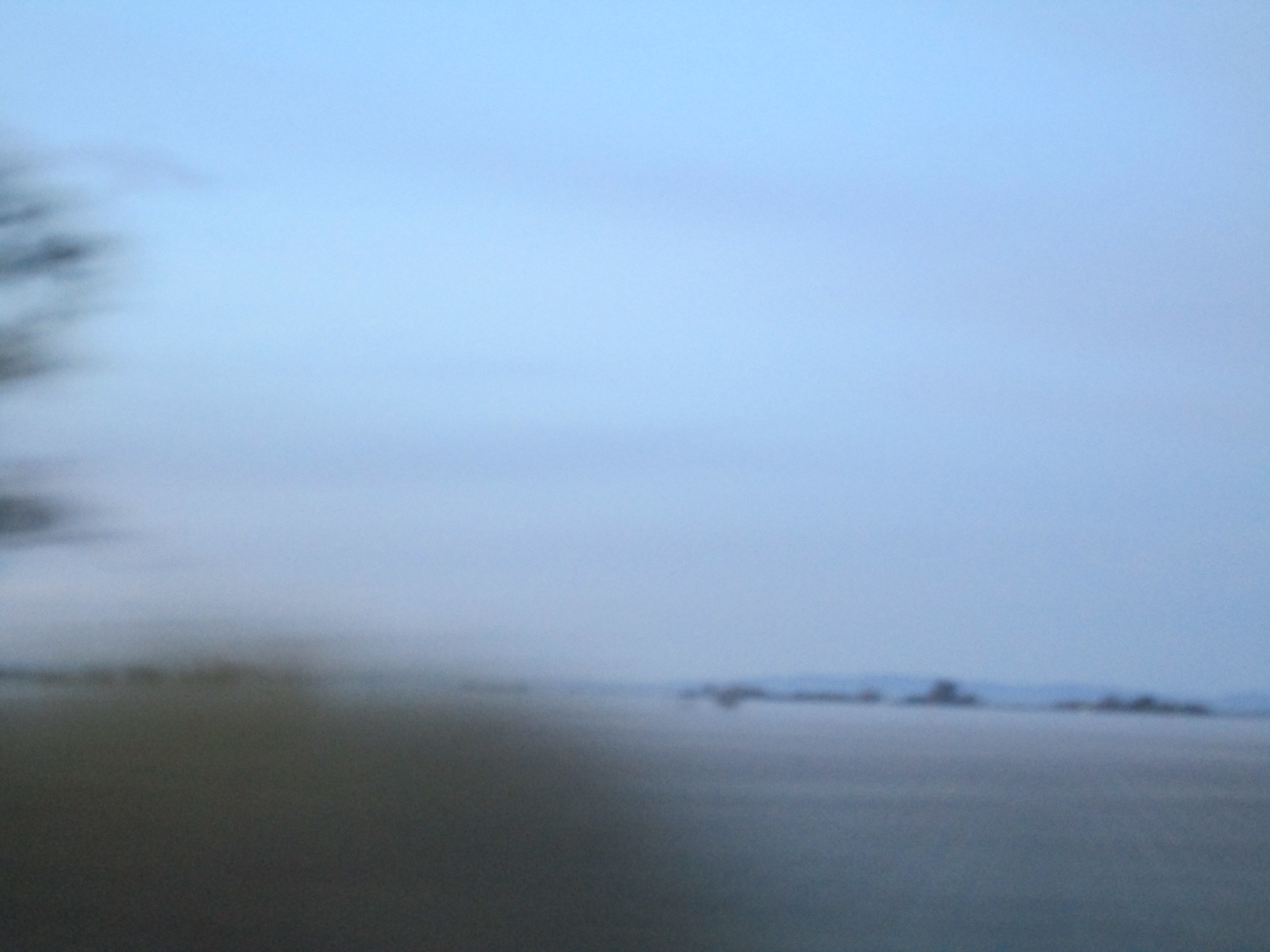
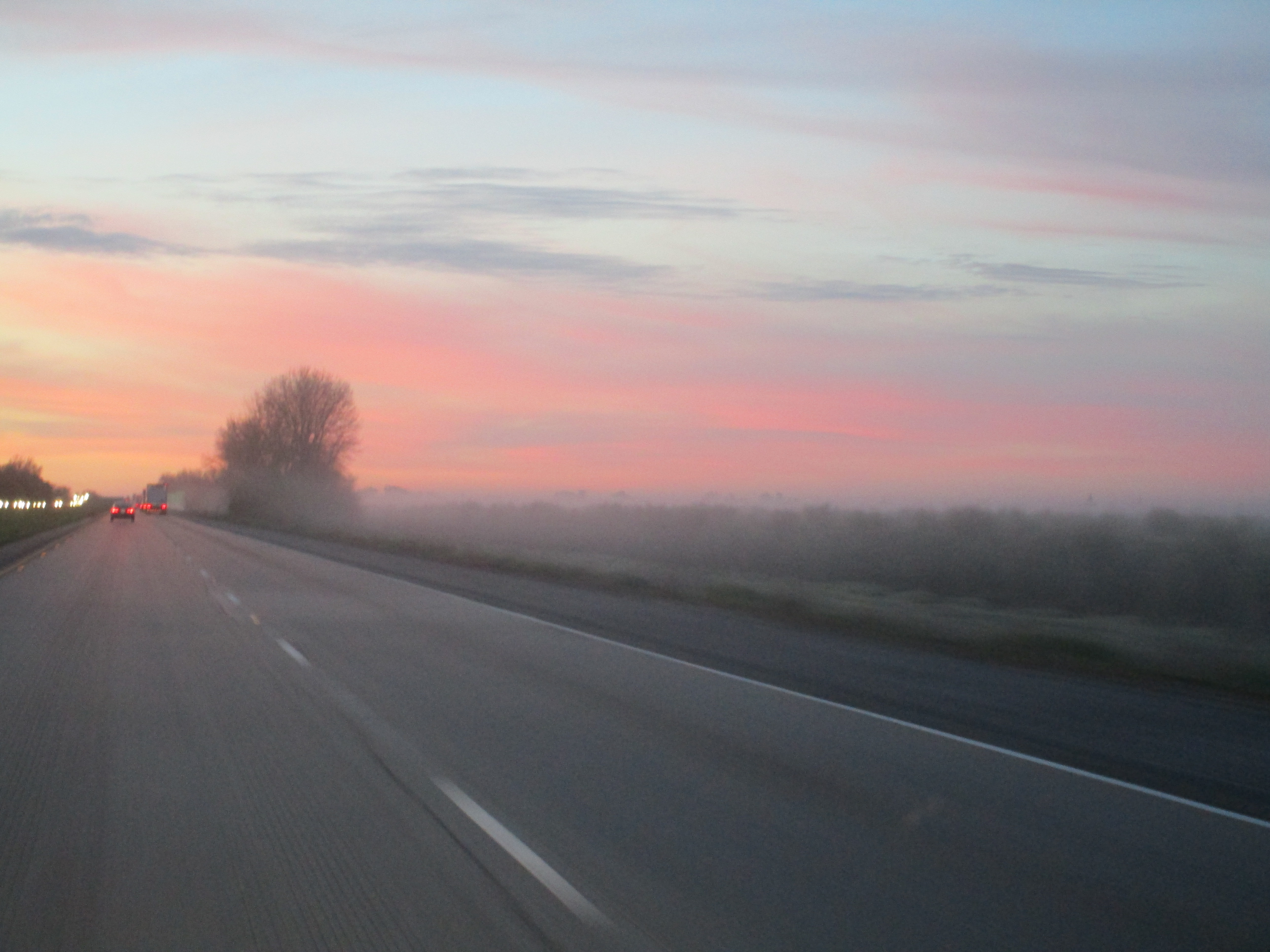
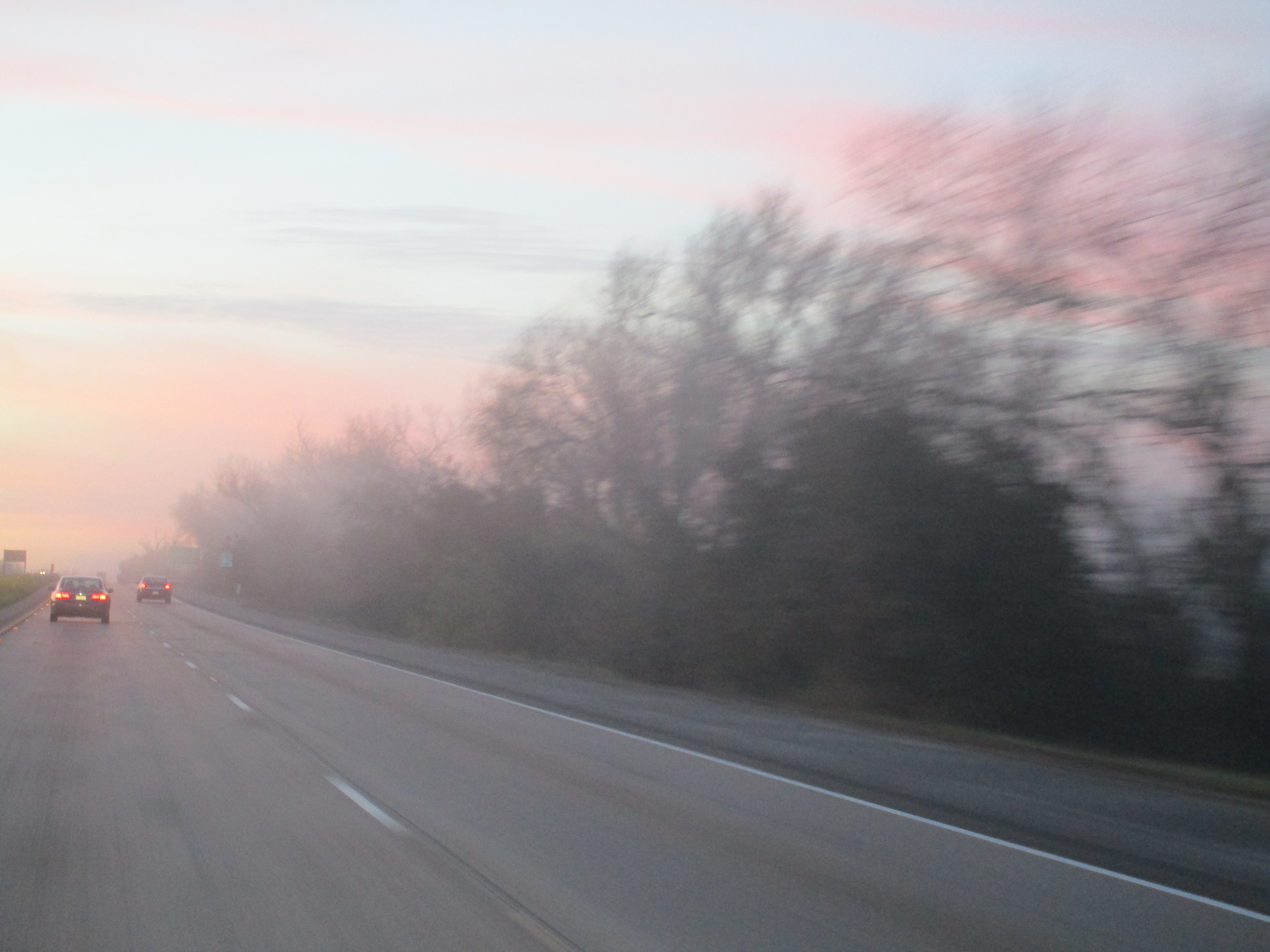
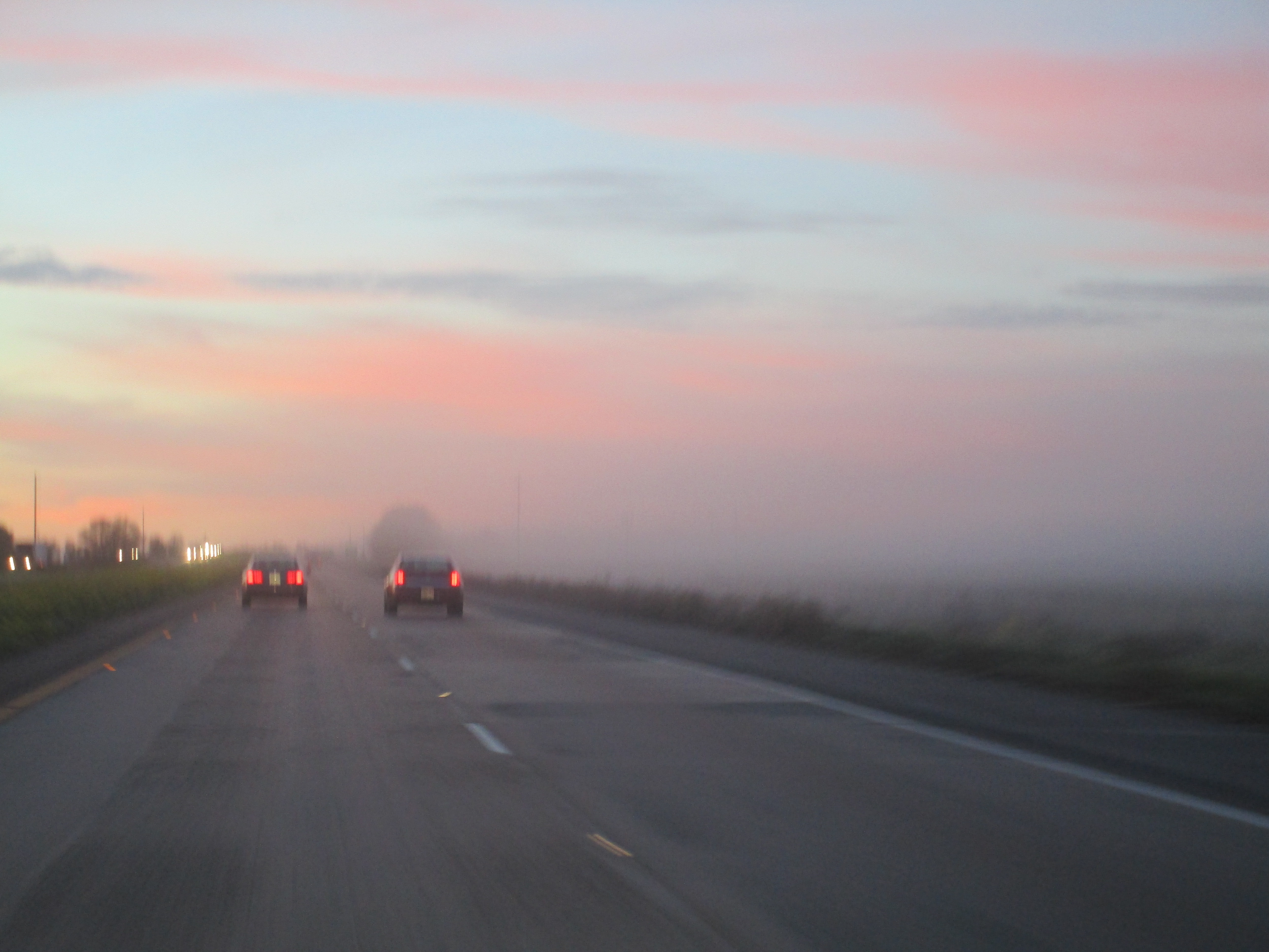
... low lying fog over the countryside at sunrise...
|


|
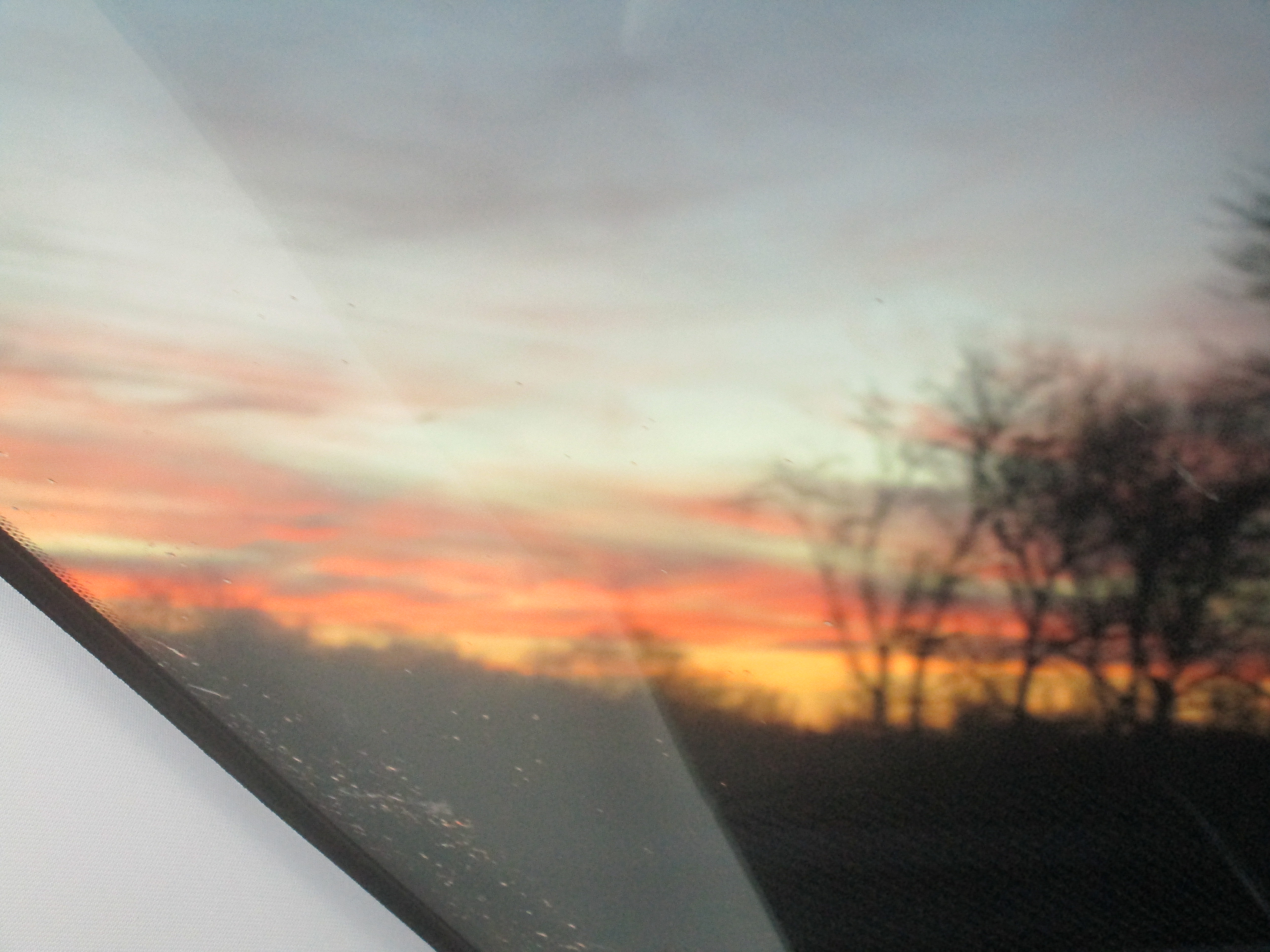
Rolling south on I-5 along about Patterson...
|

Lost Hills/Pilot 1127mi 9:26amPST 59of
244.2mi in 3:45hrs w/23.7avg mpg
12.168G 2.099/G $25.54
& while there, $04.02 for 2 ea sausage in a roll
|
|
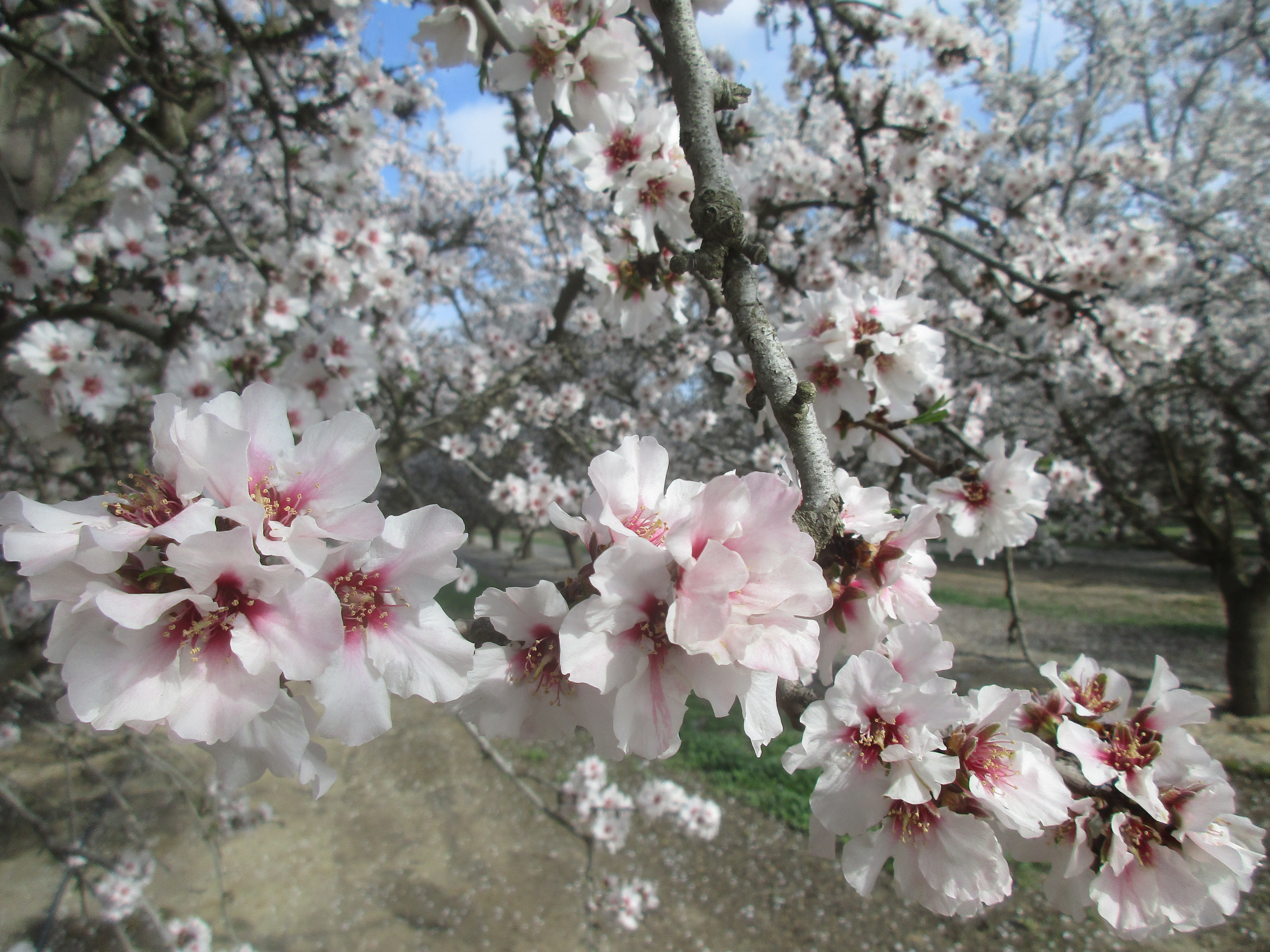
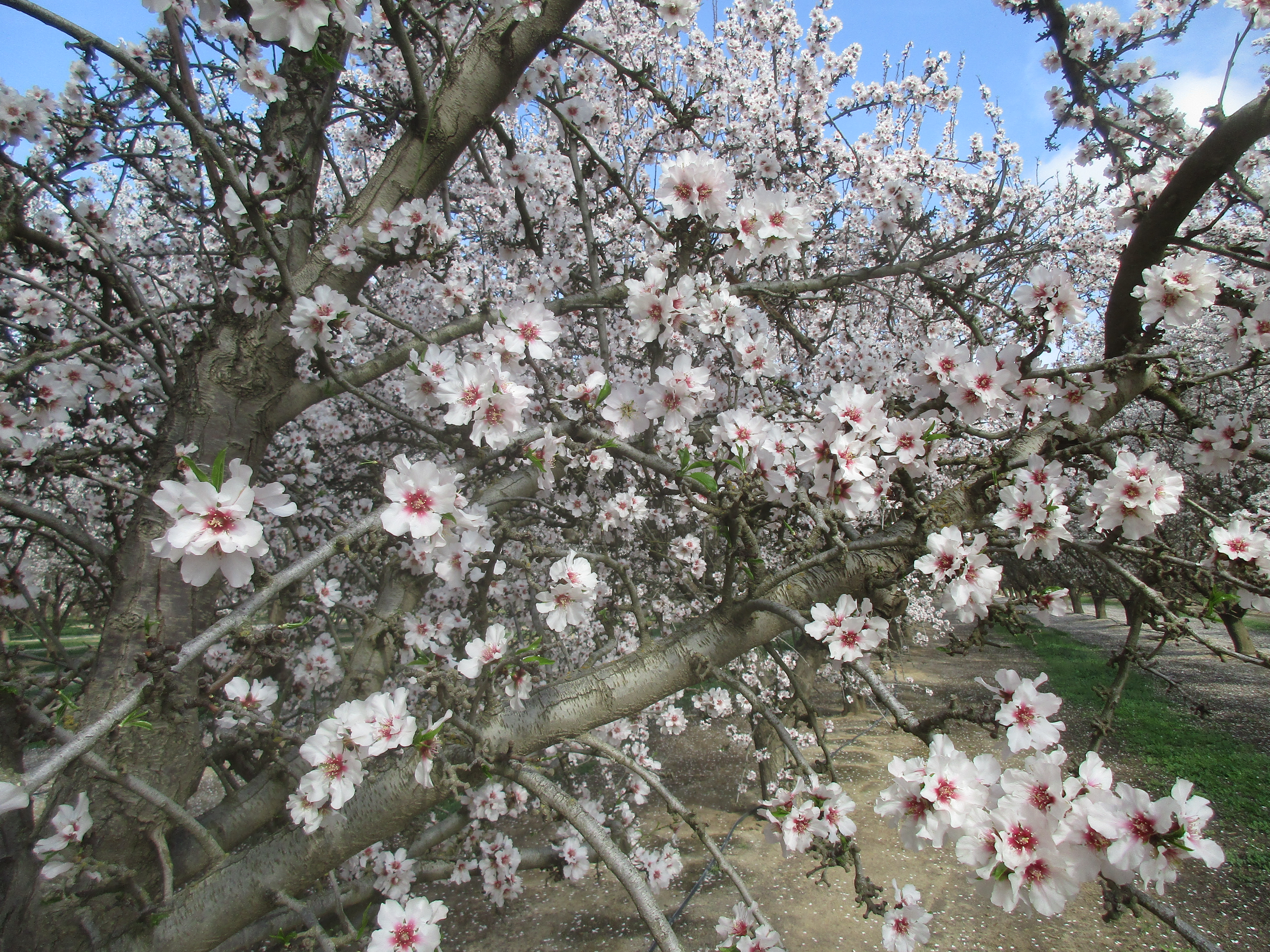
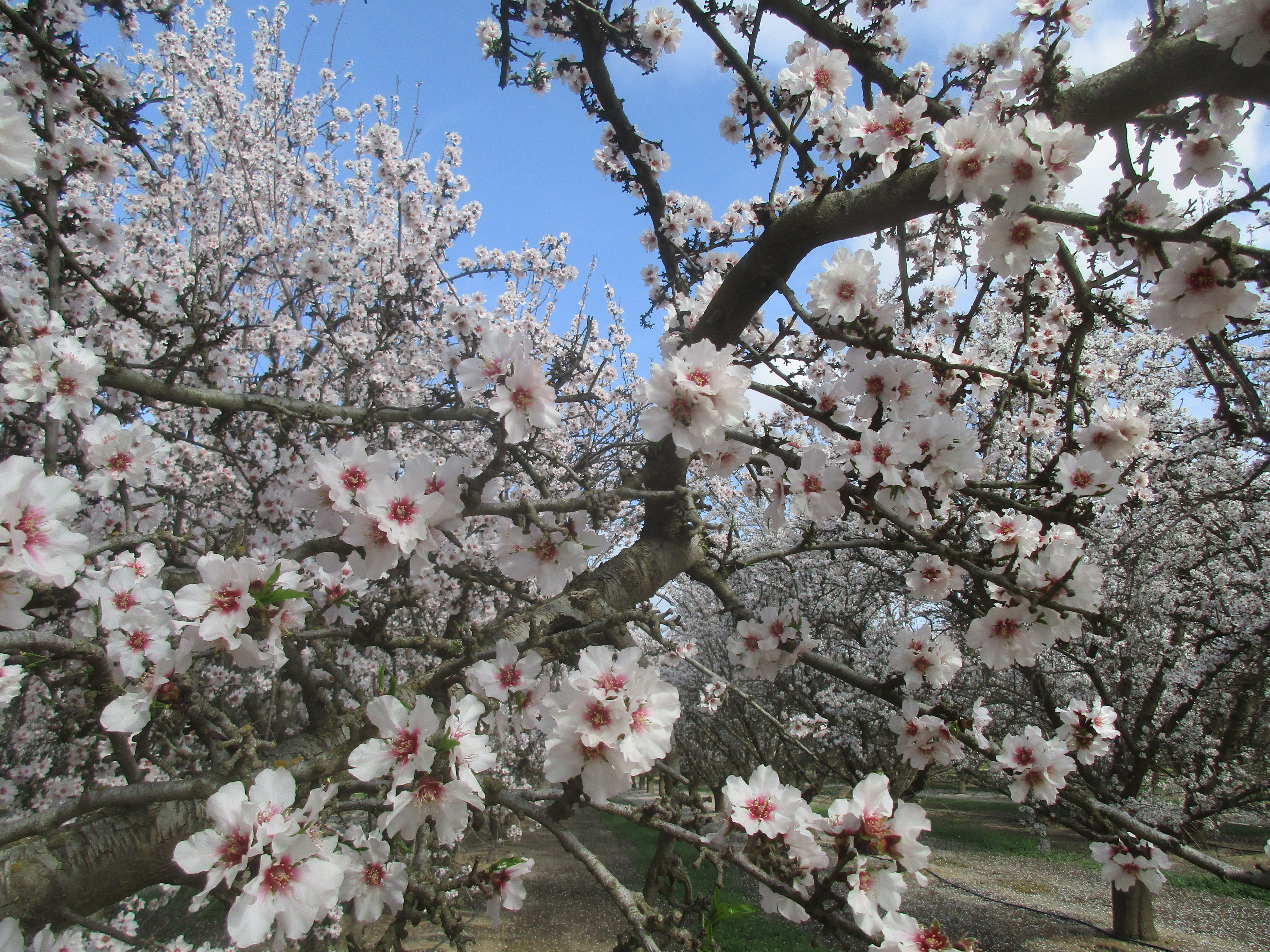
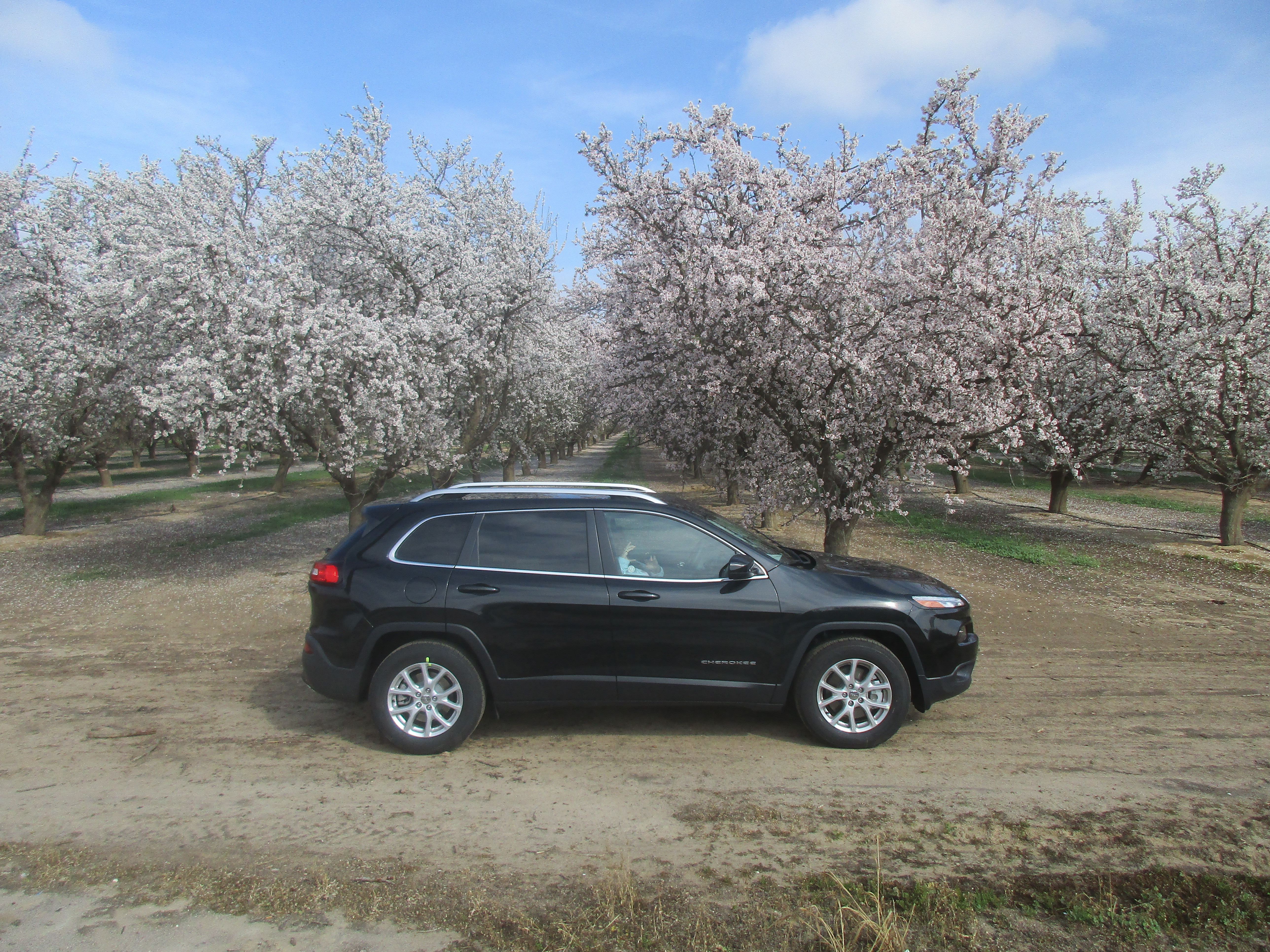
at Buttonwillow, 58 east towards Bakersfield, w/pause for photo op w/blossoms...
|


|
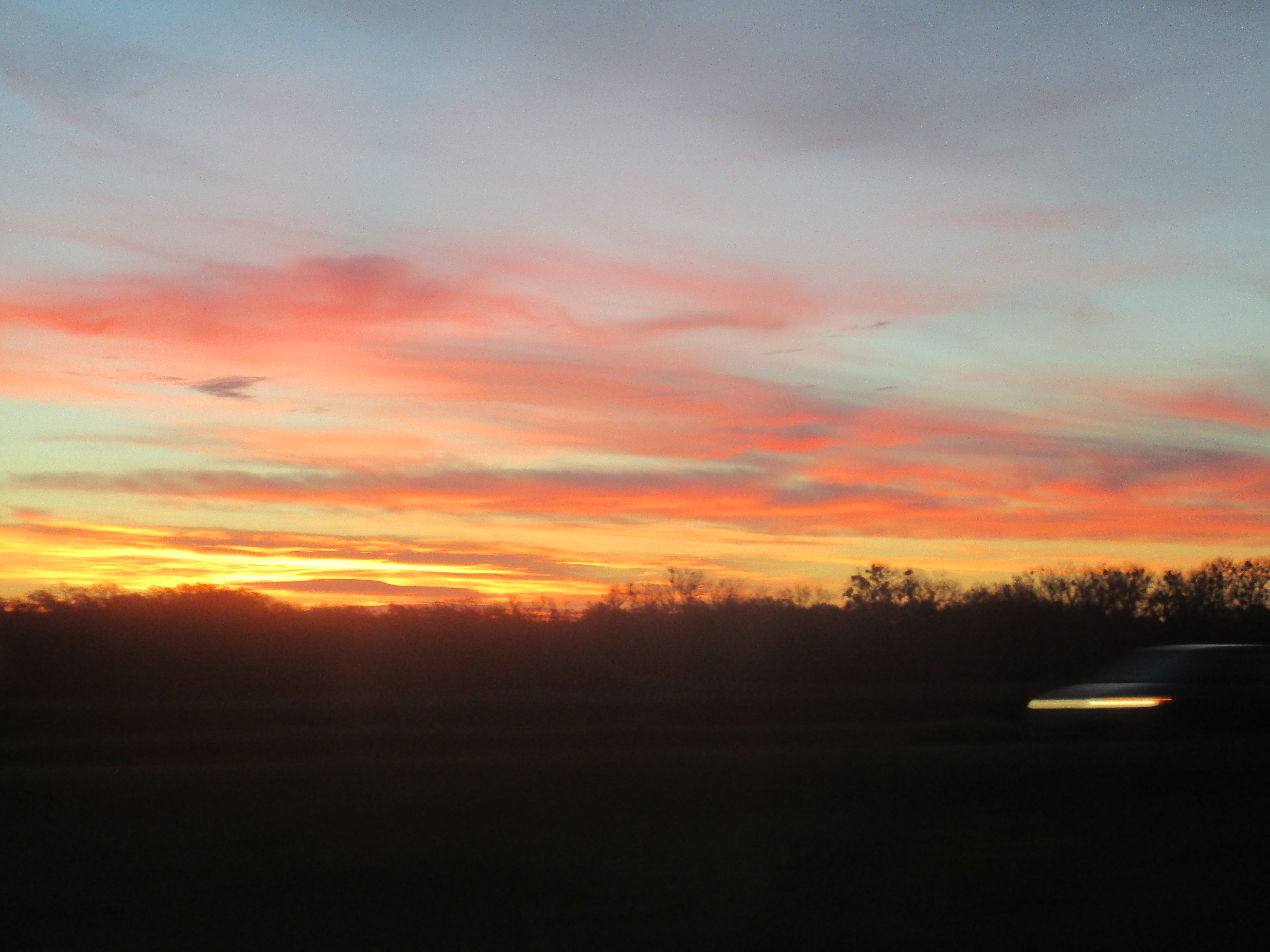
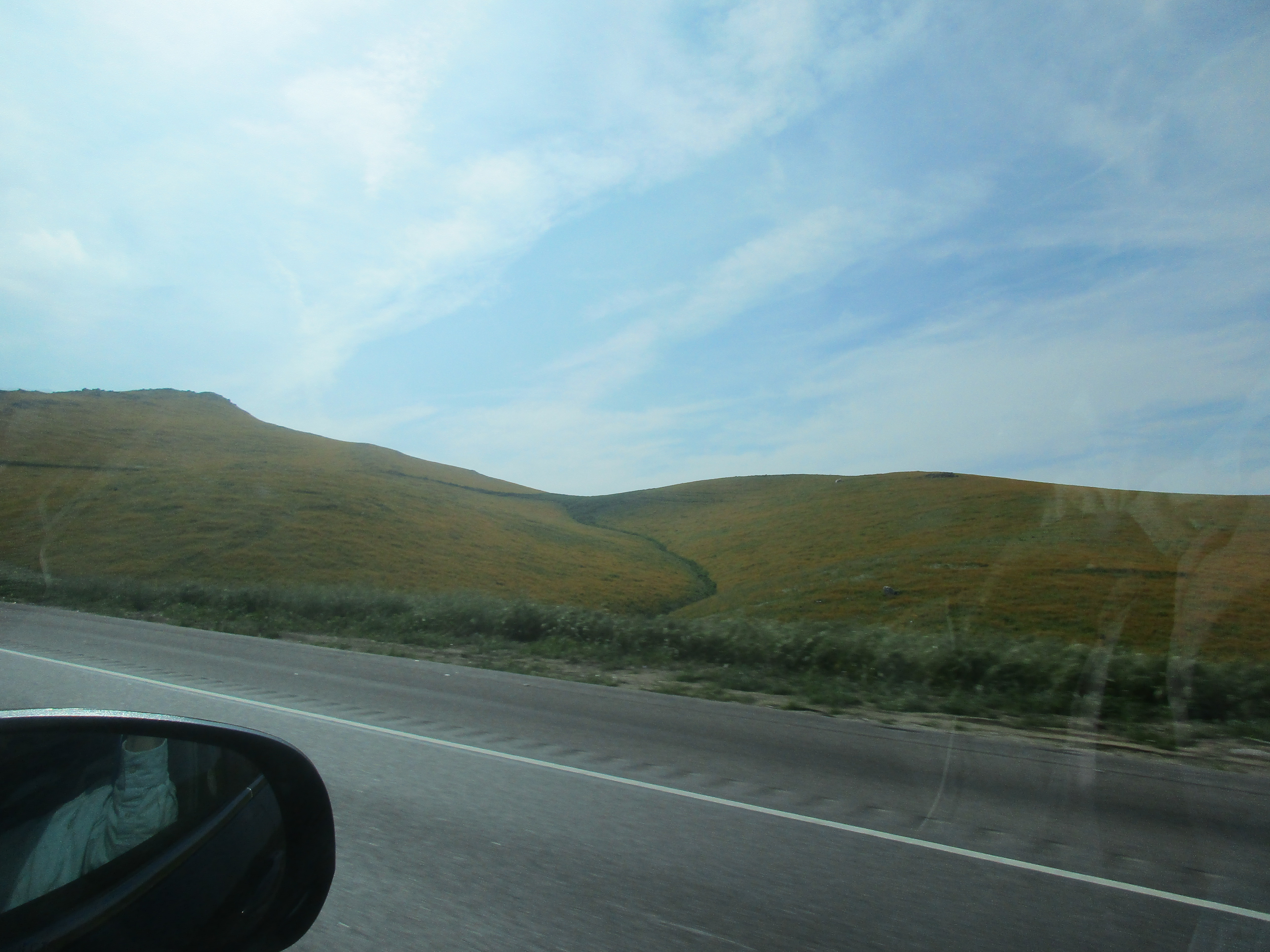
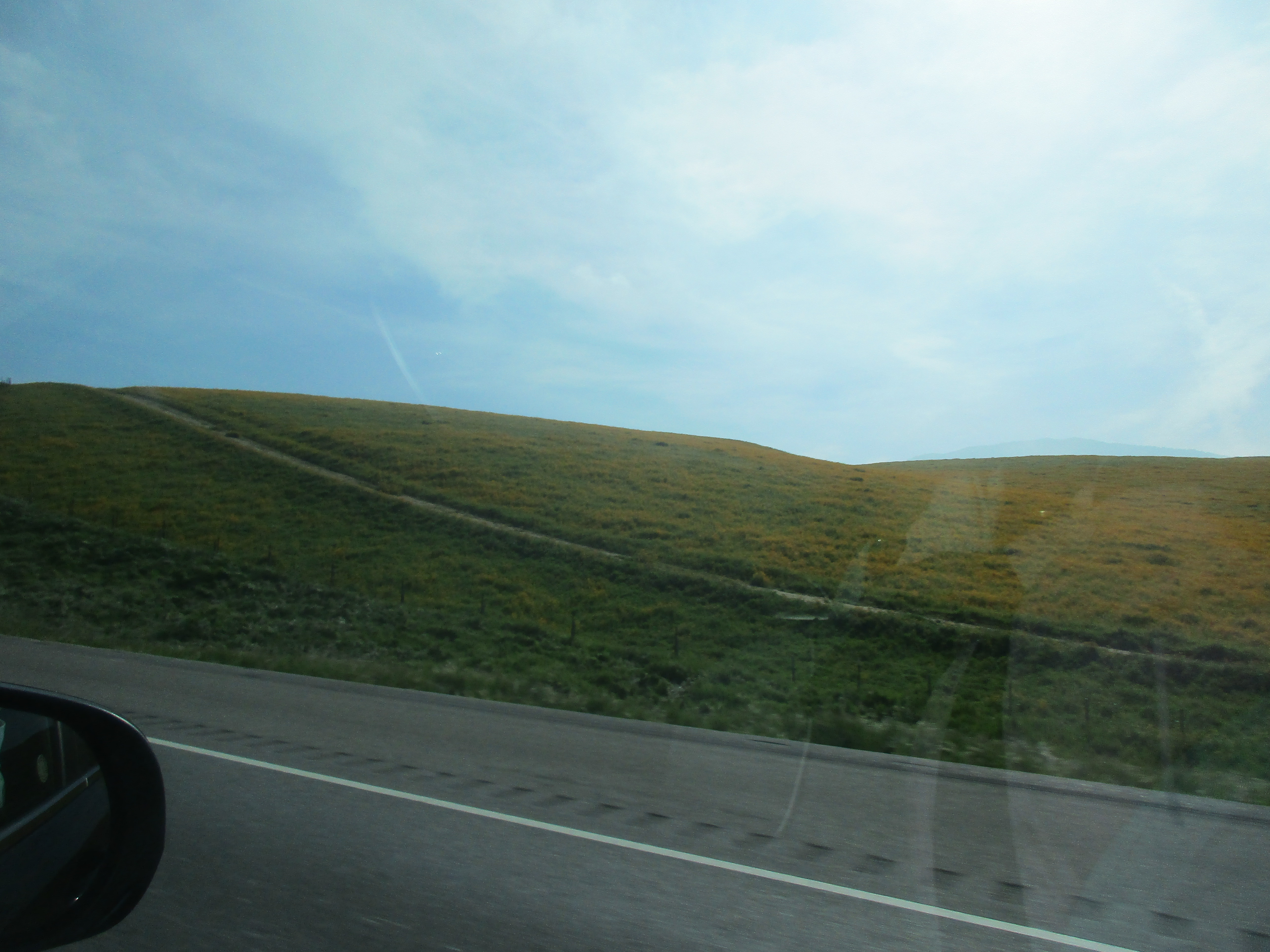
... on to Bakersfield, and over Tahachapi Pass...
|


|
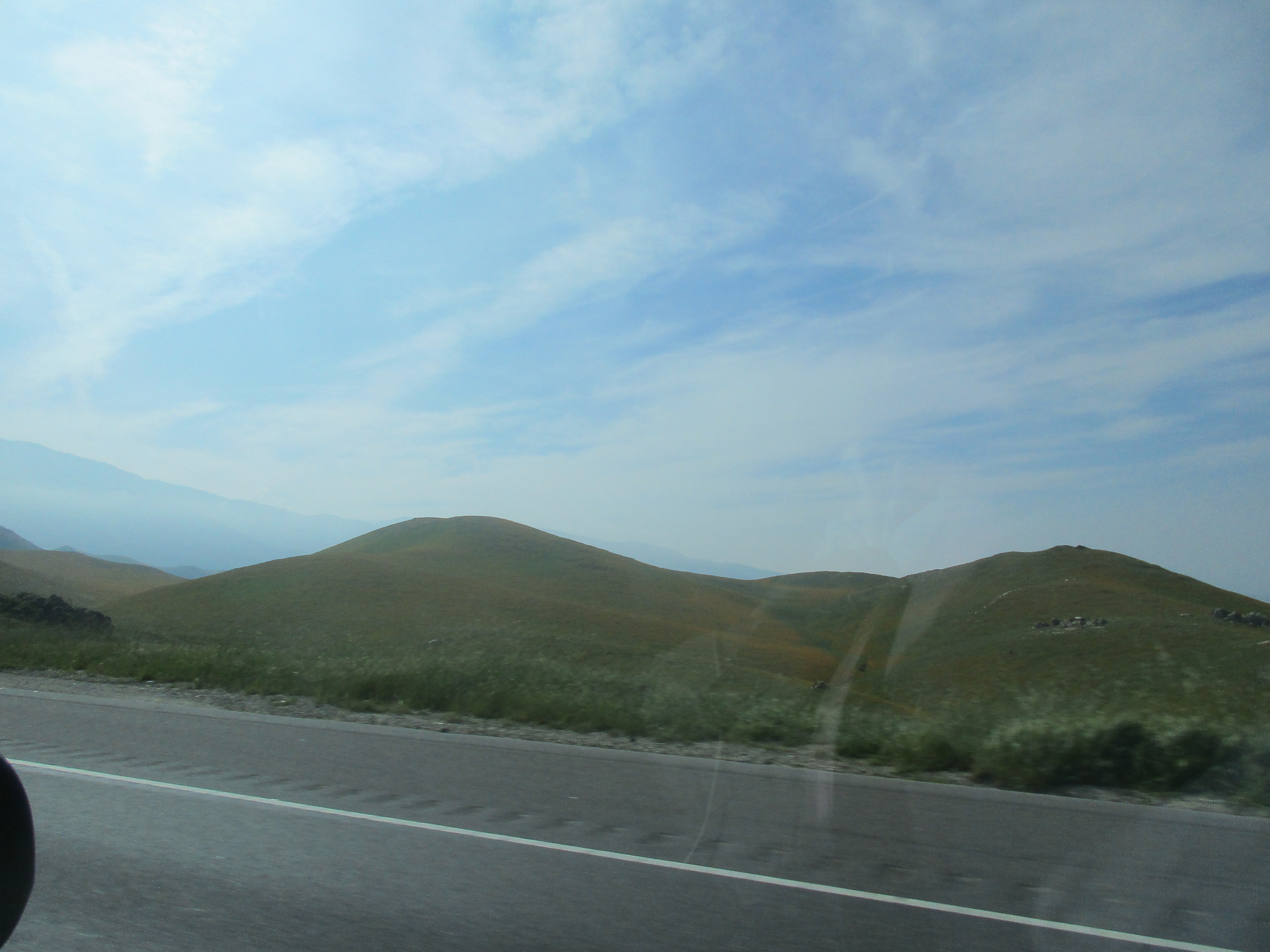
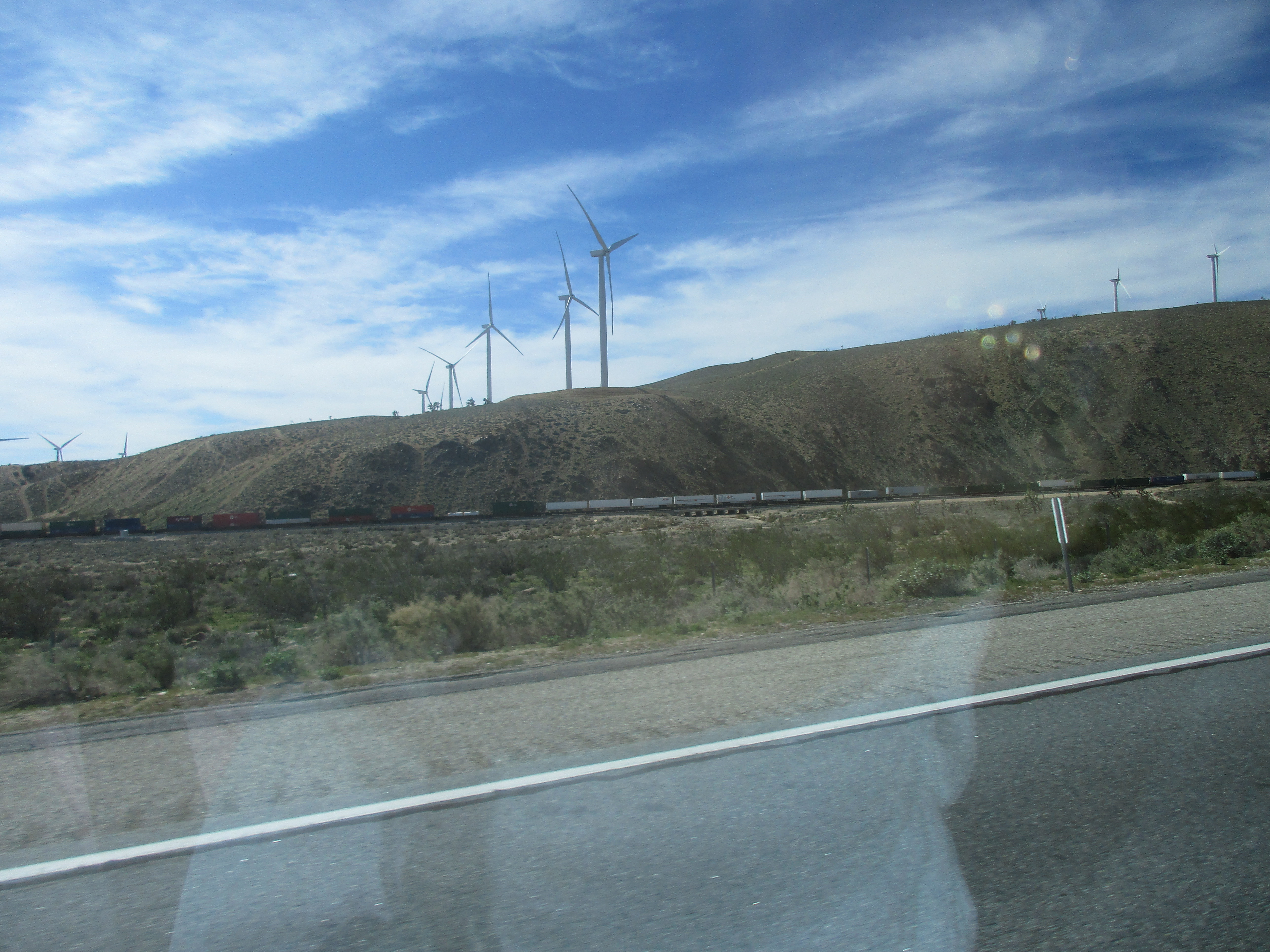
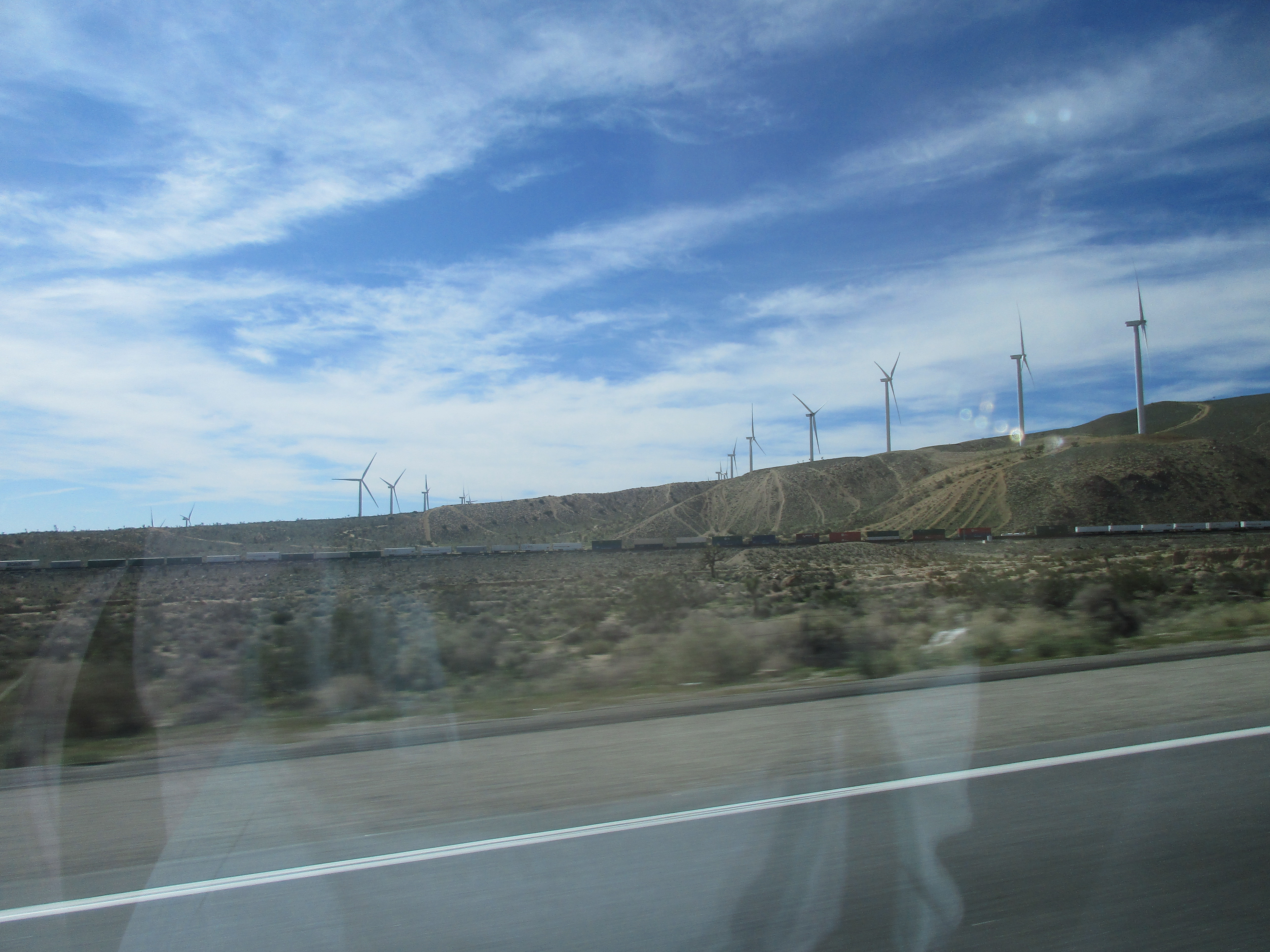
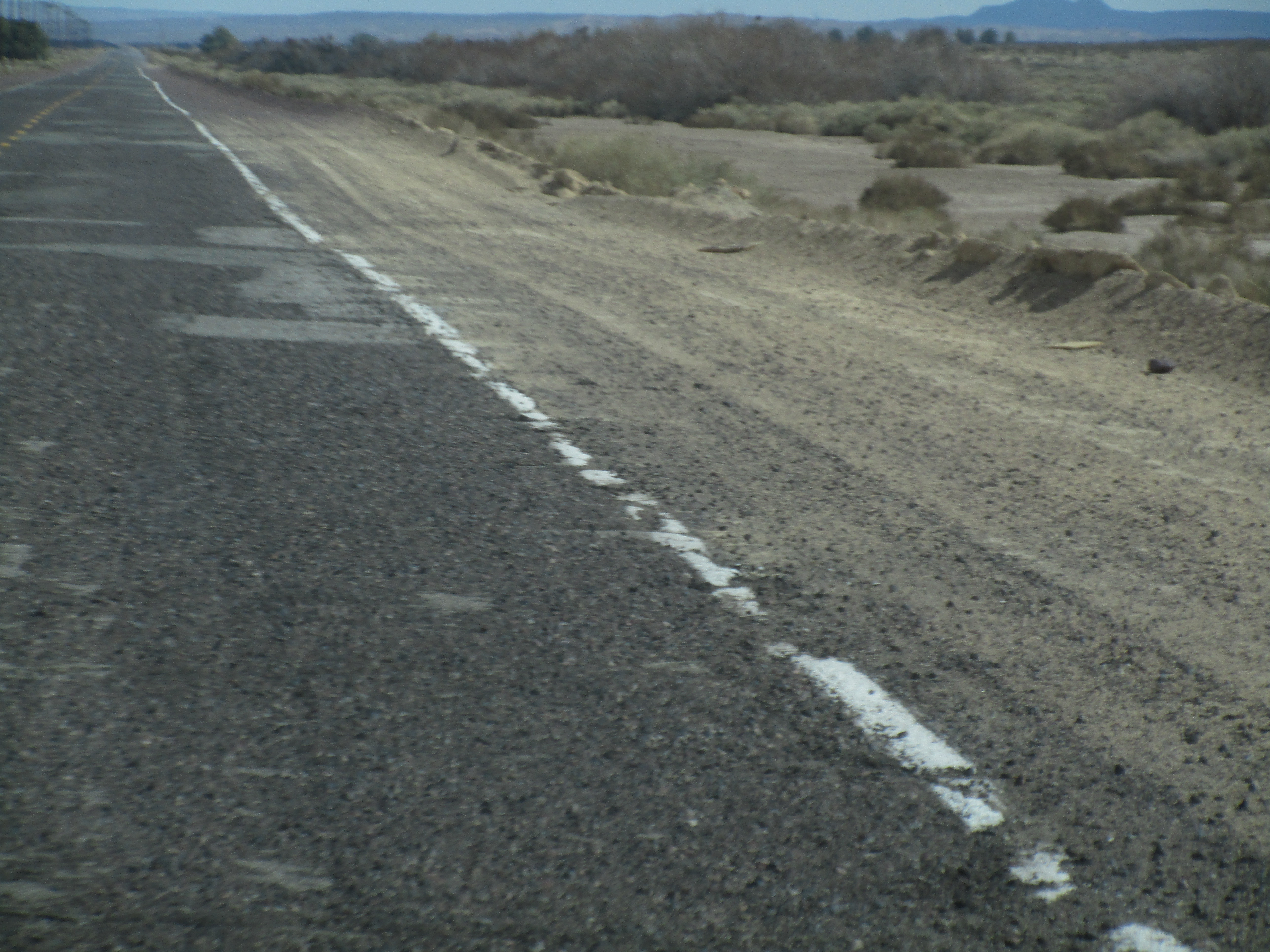
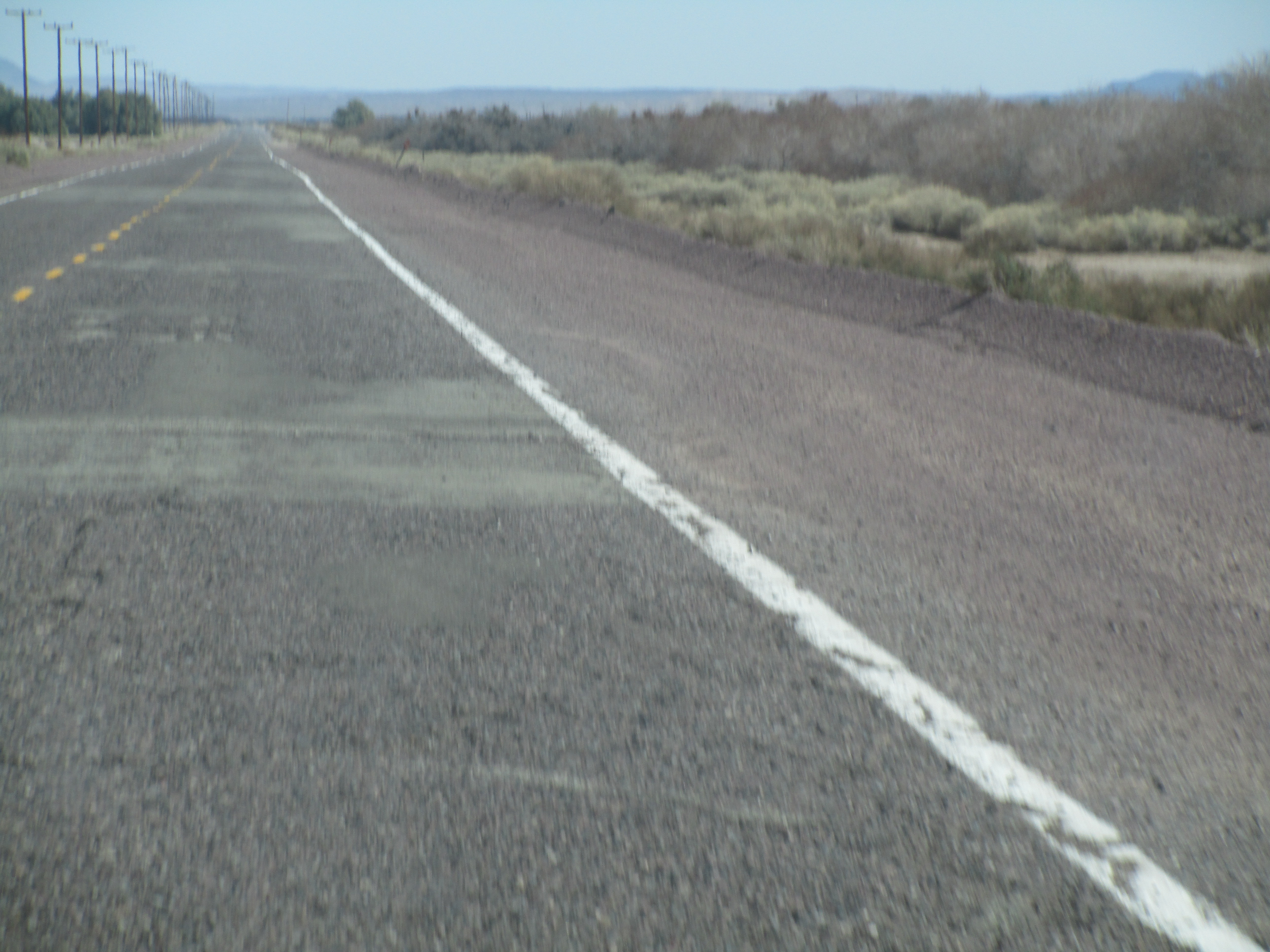
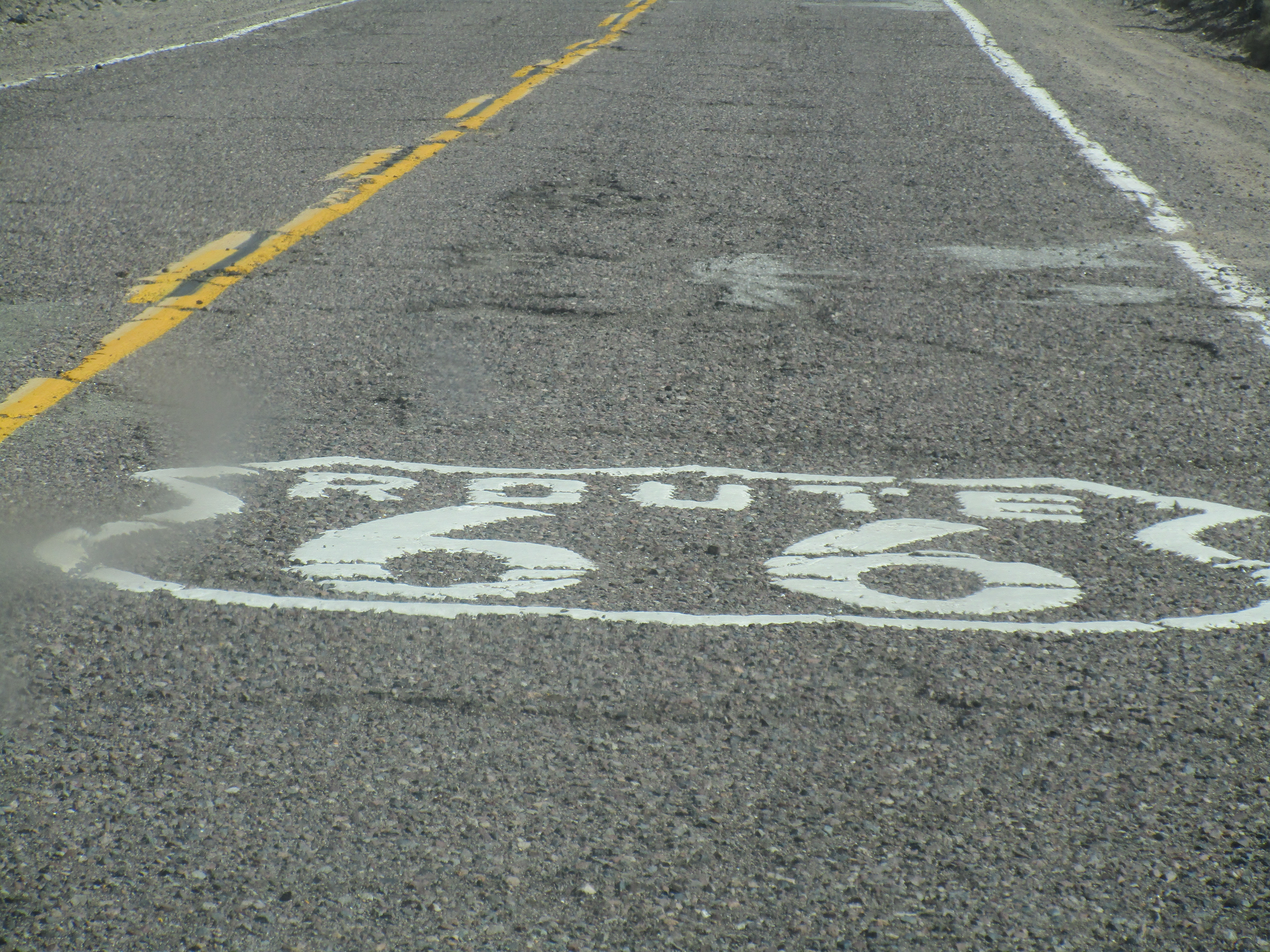
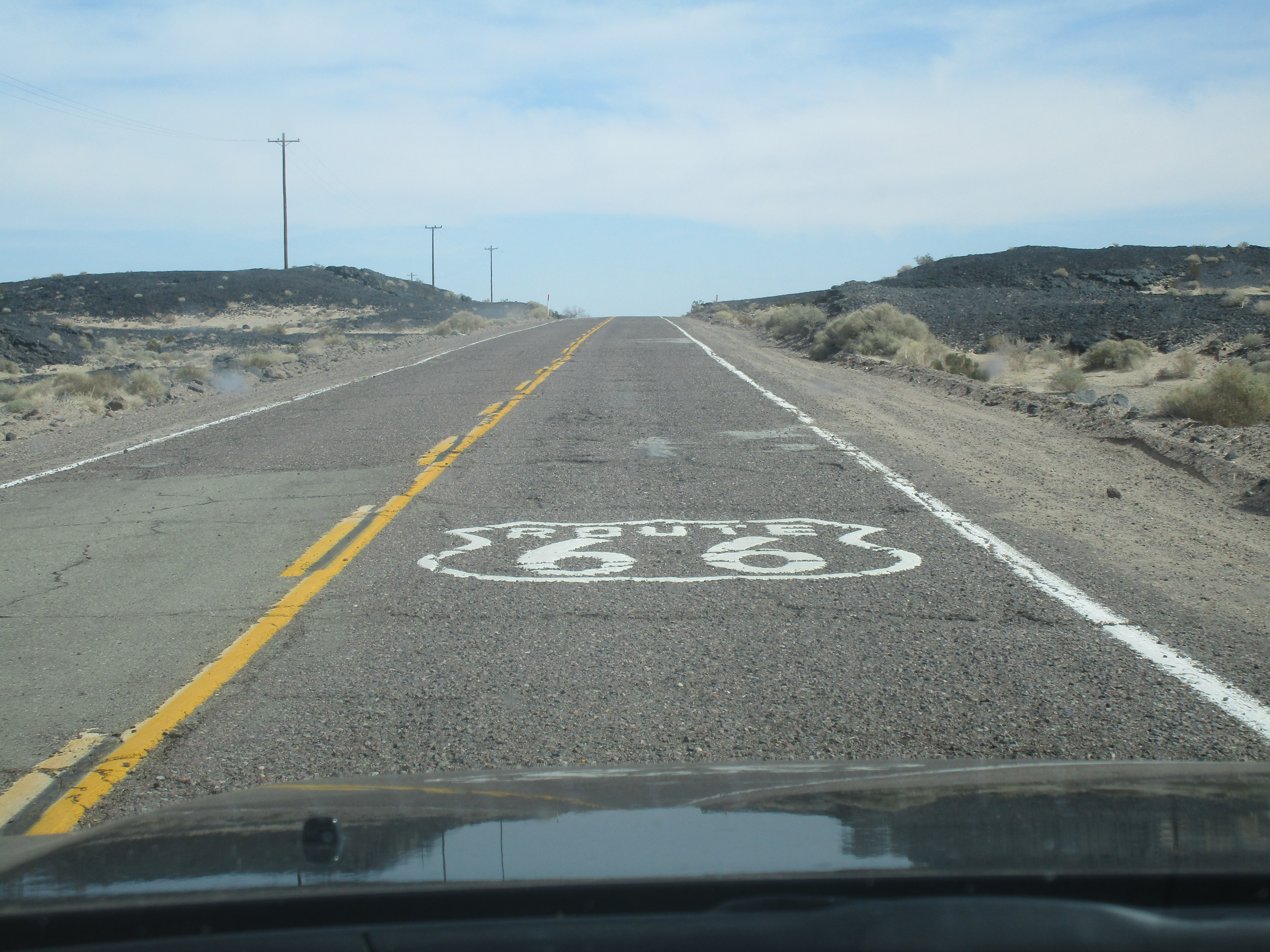
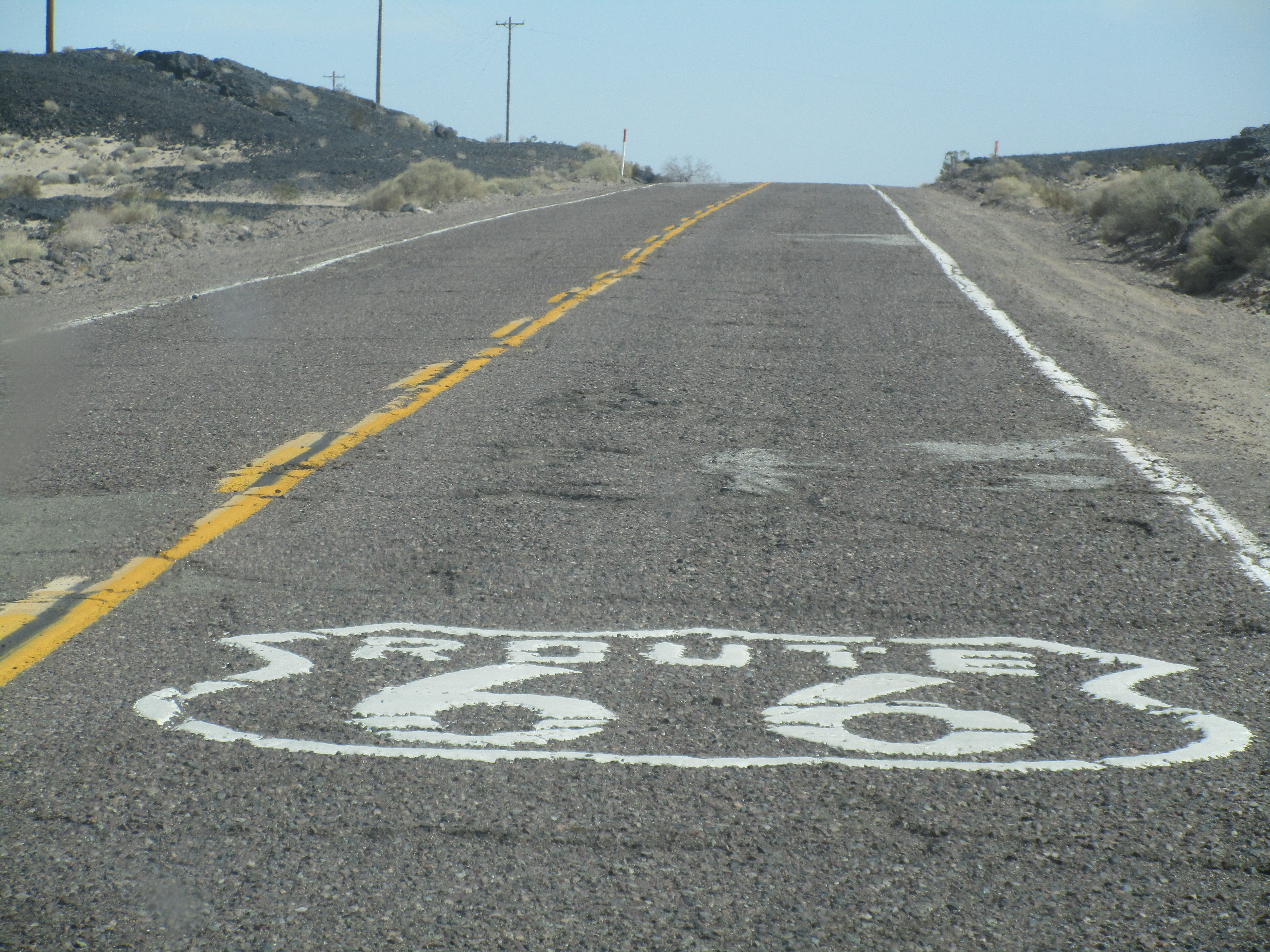
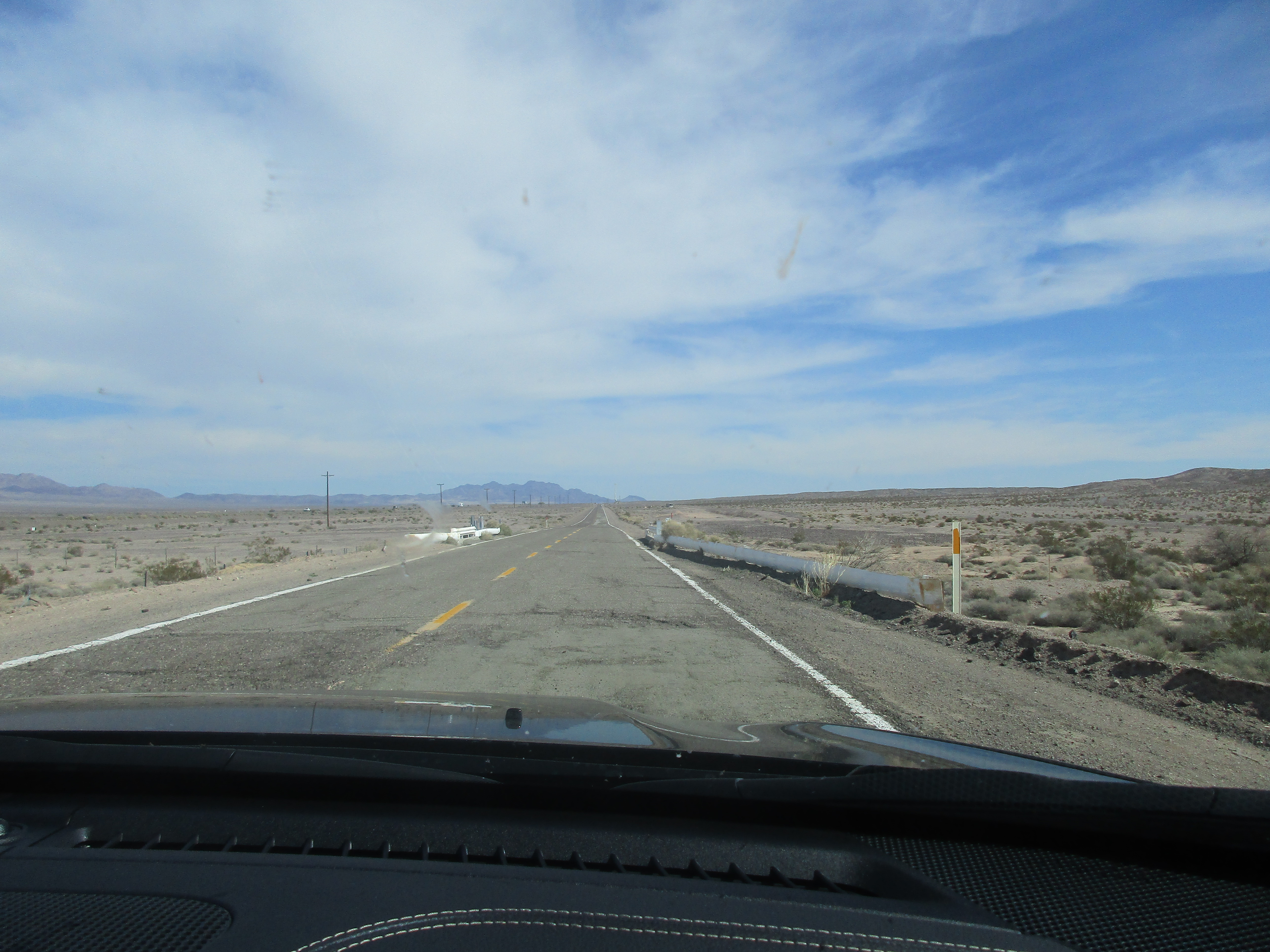
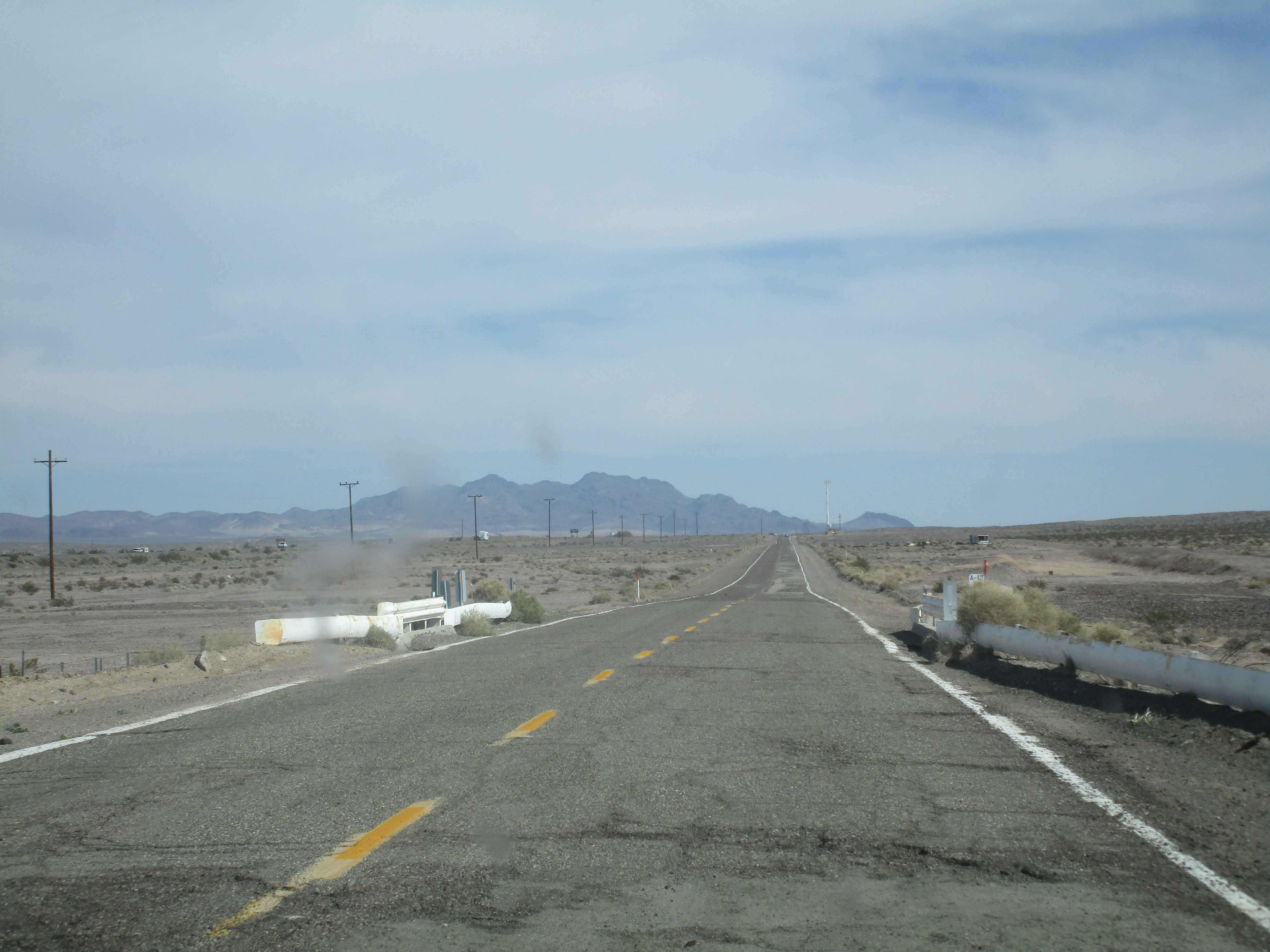
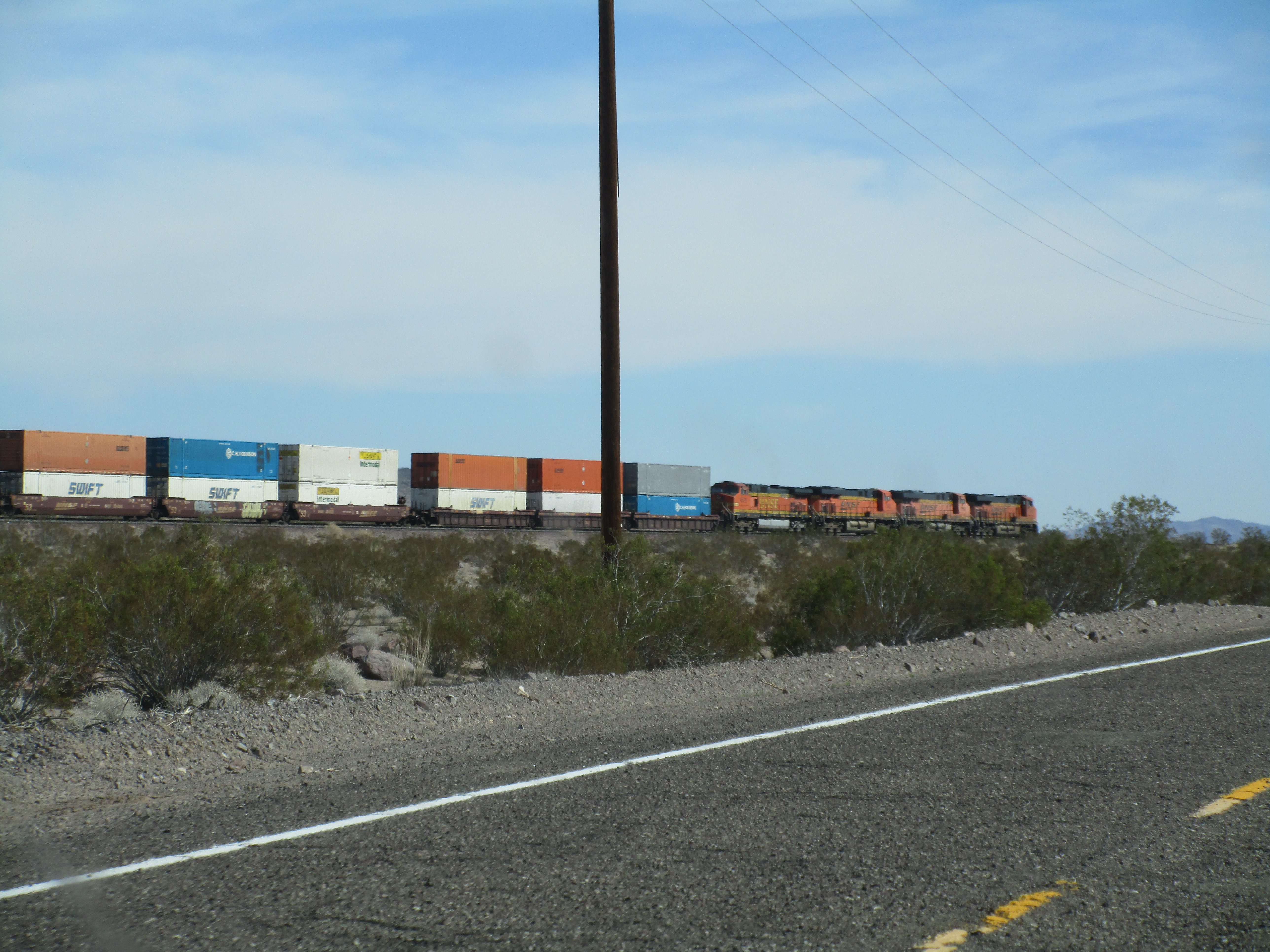
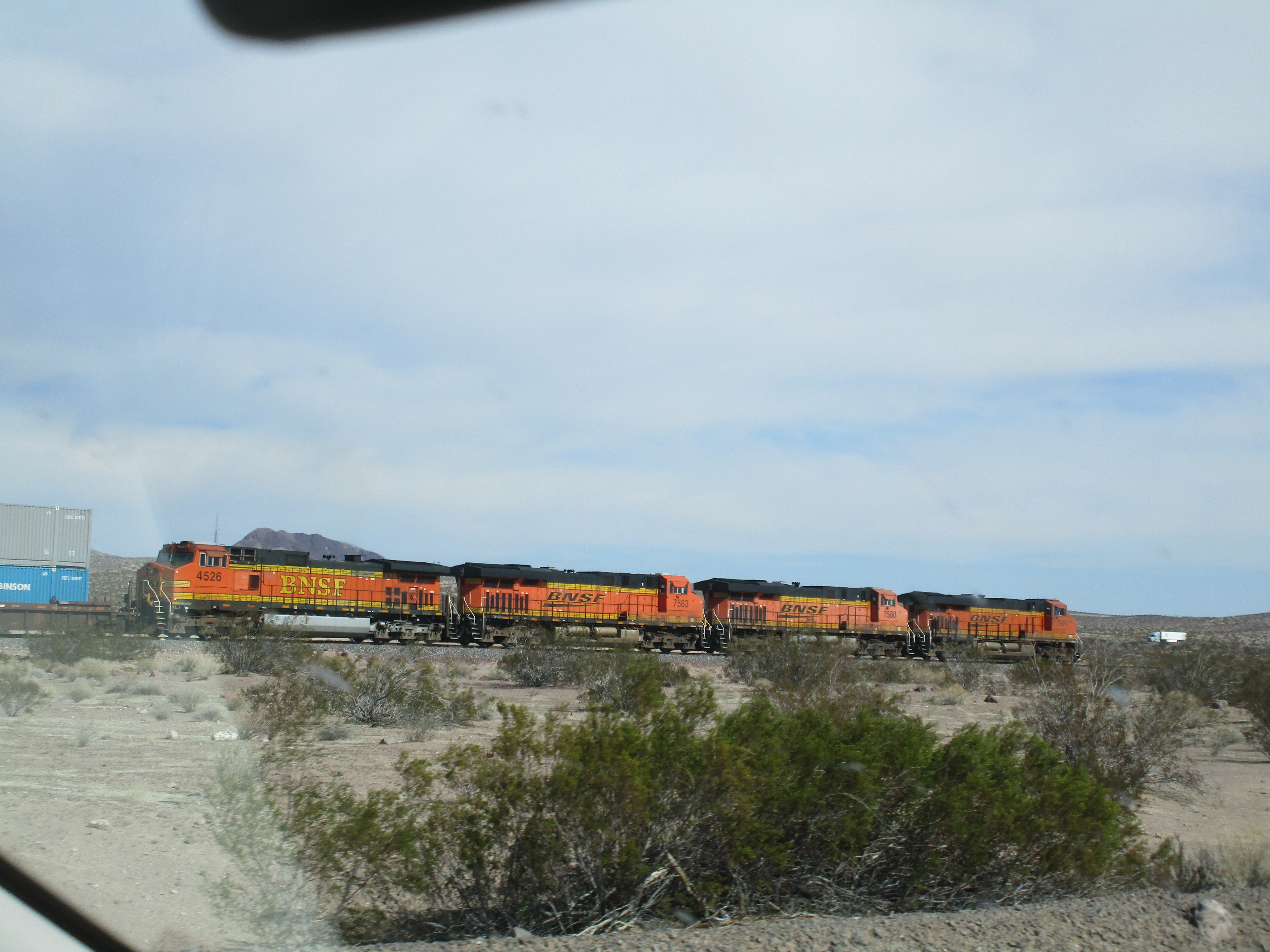
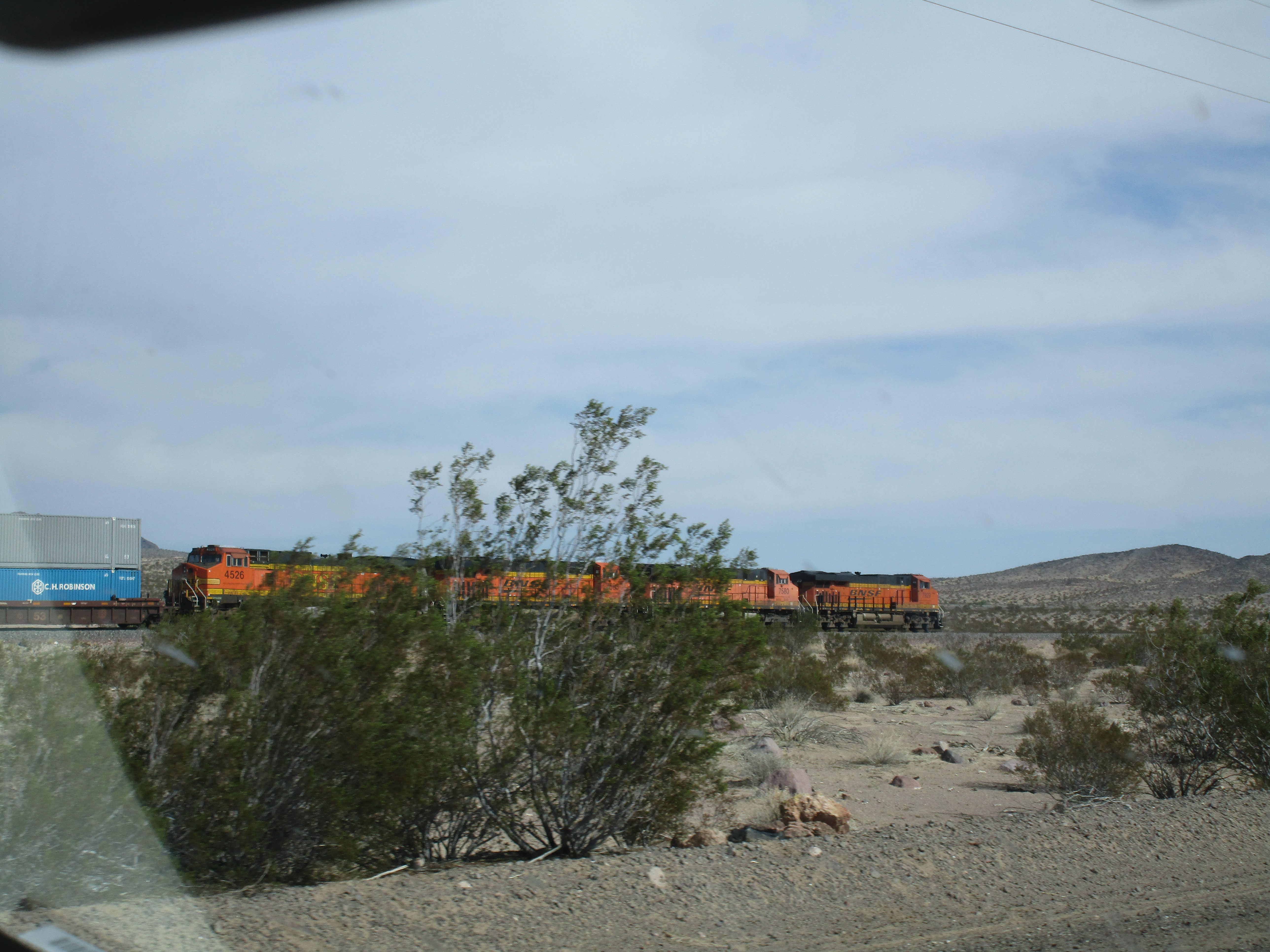
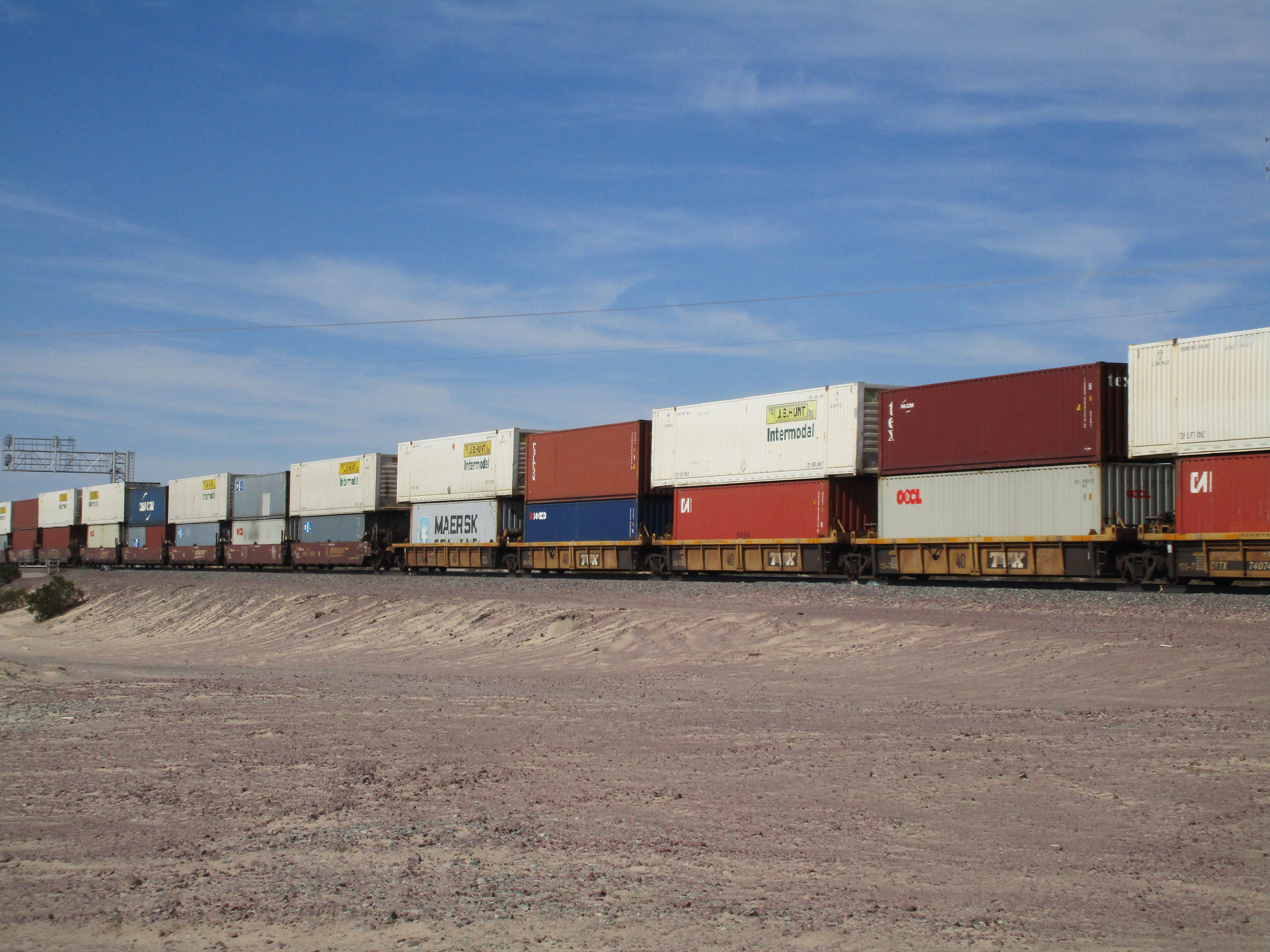
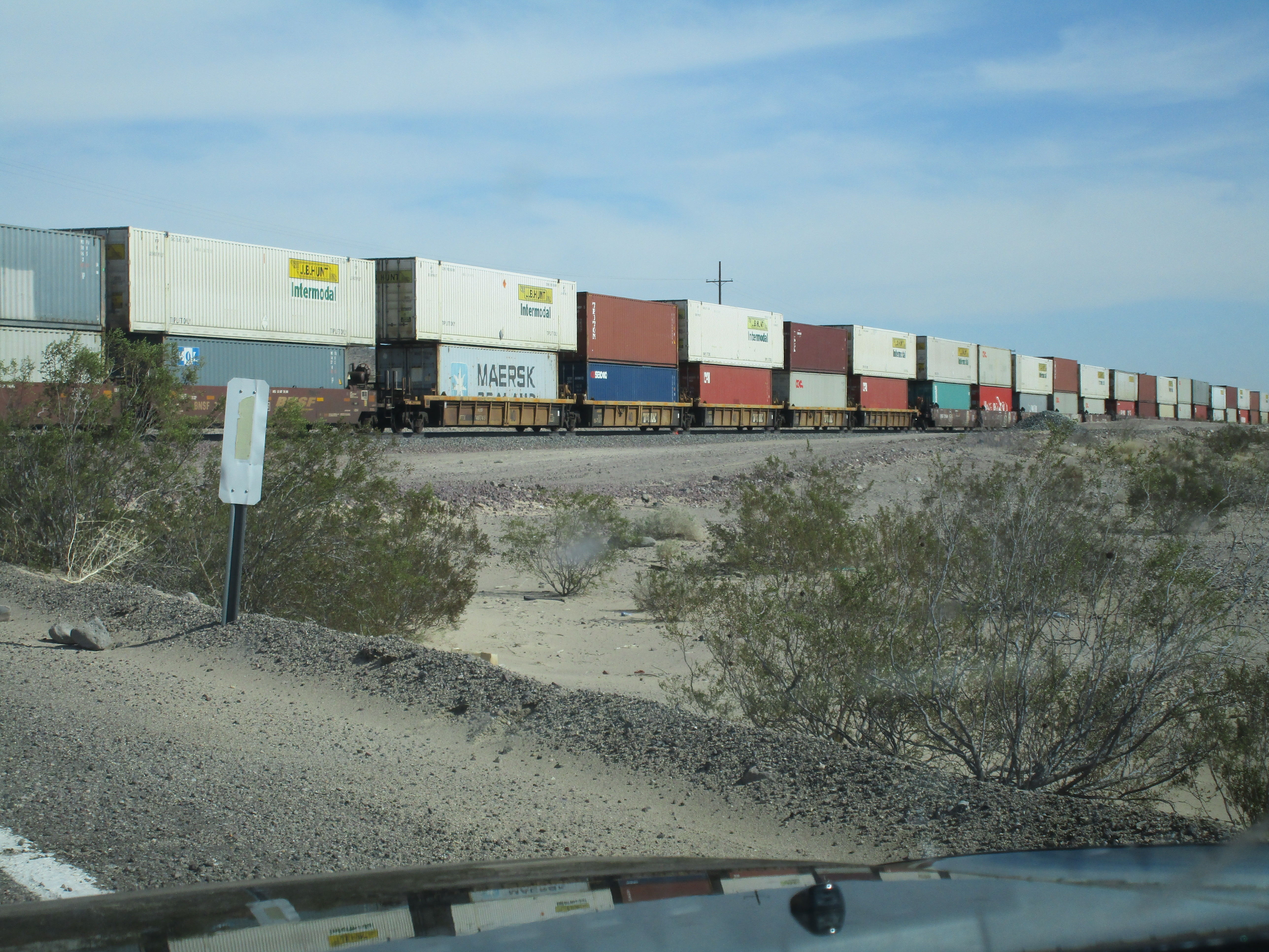
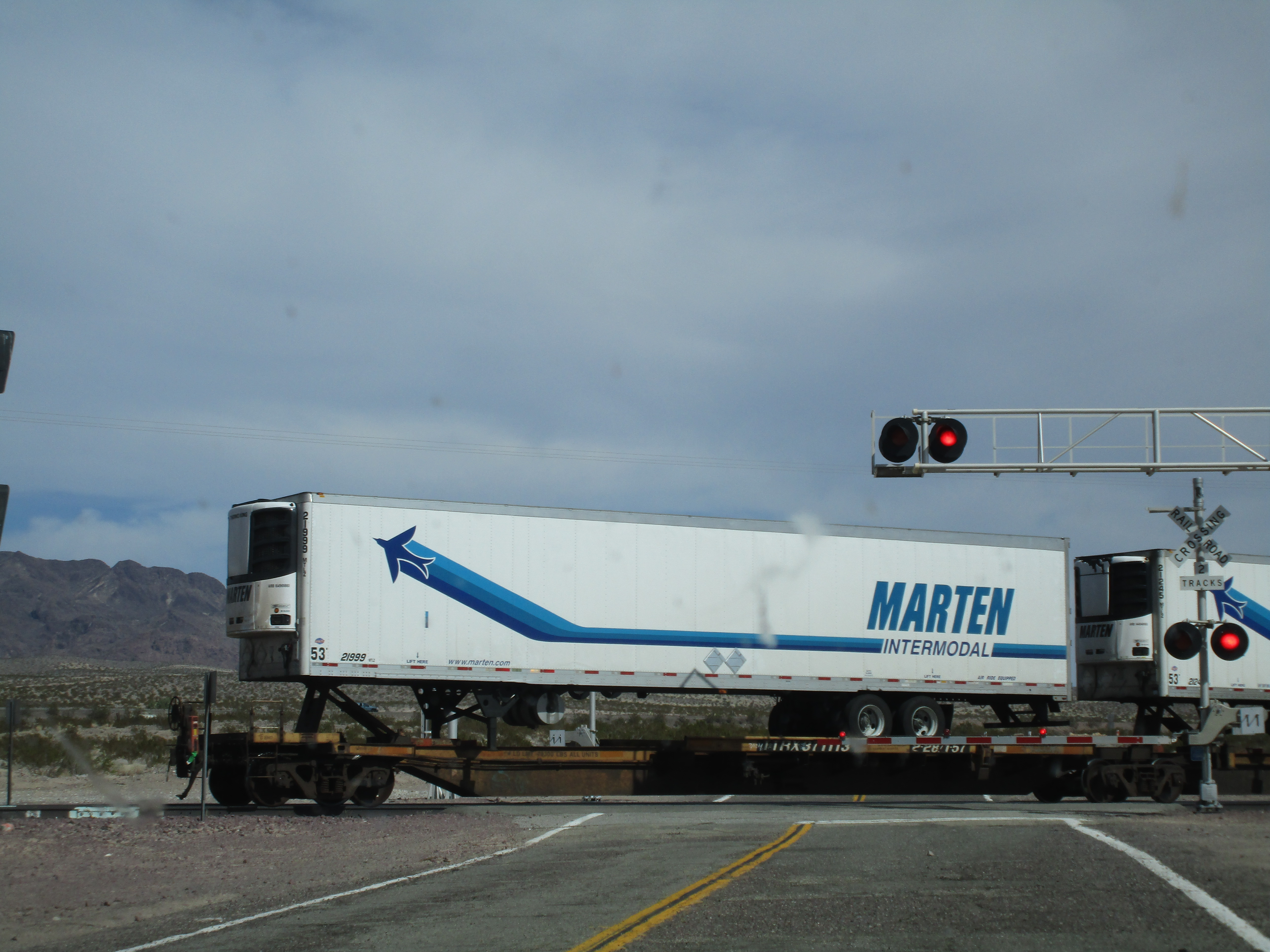
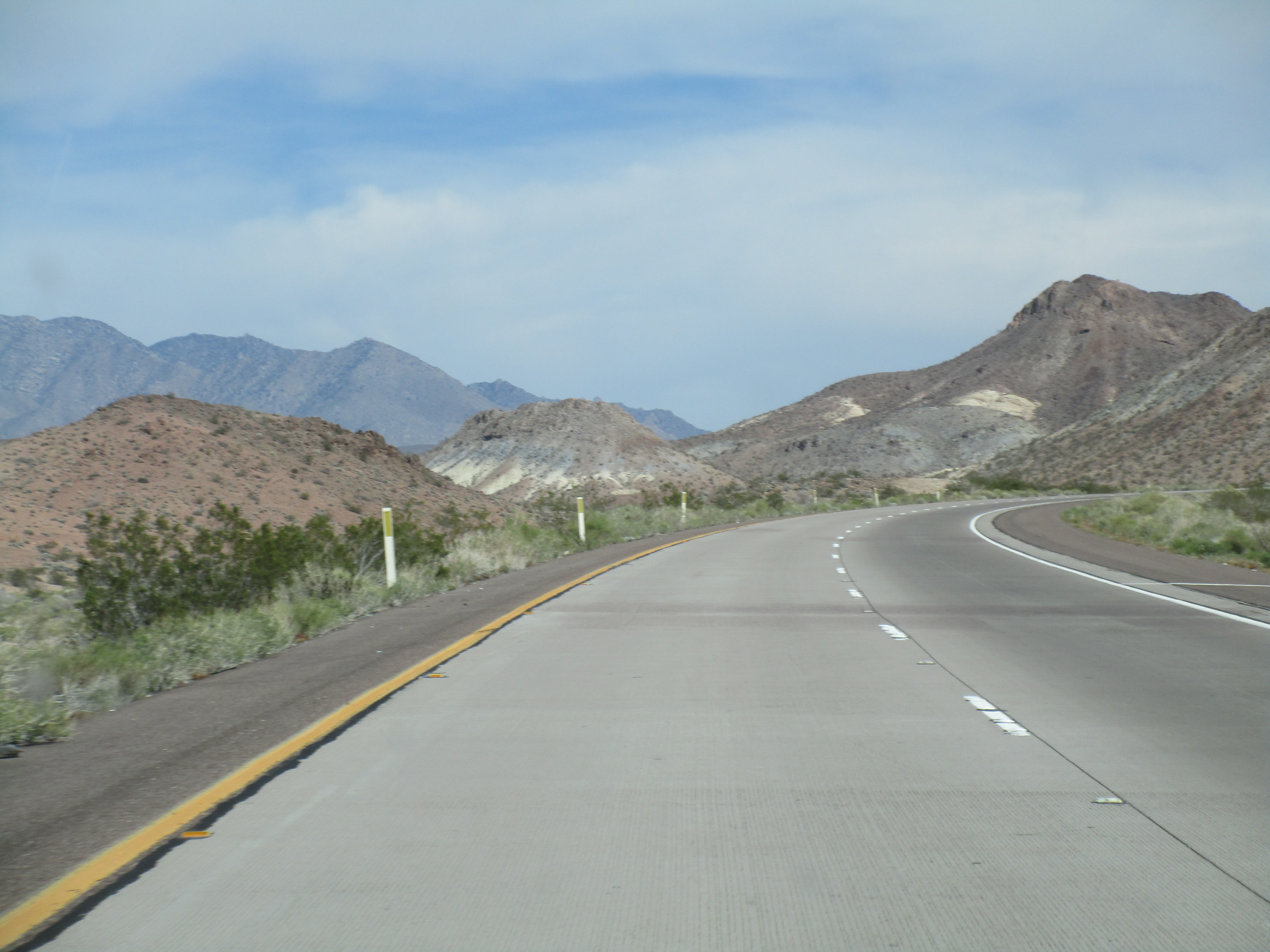
through Kramer Junction at 395, through Barstow and onto I40
w/ride down historic Route 66...
|


|
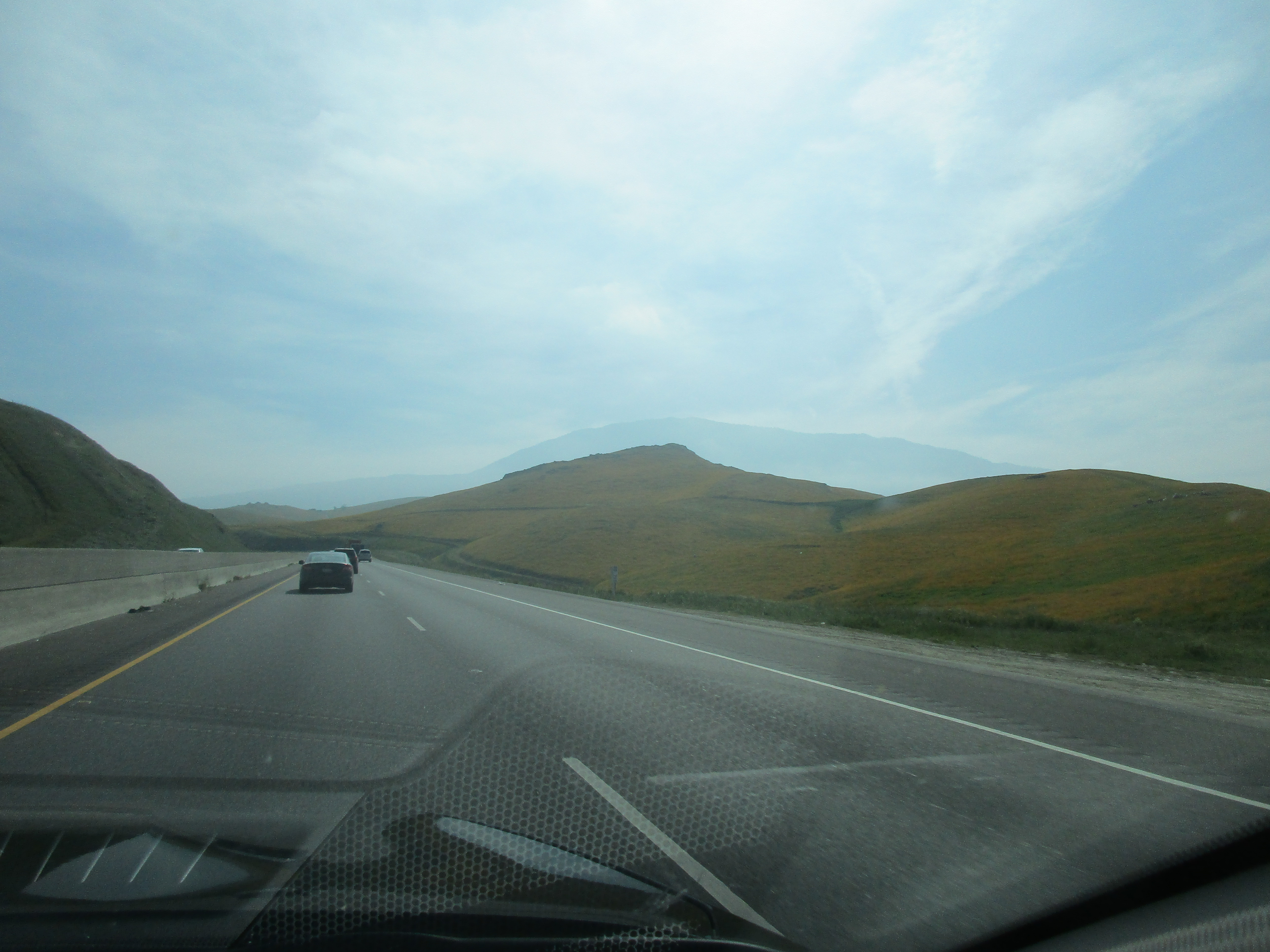
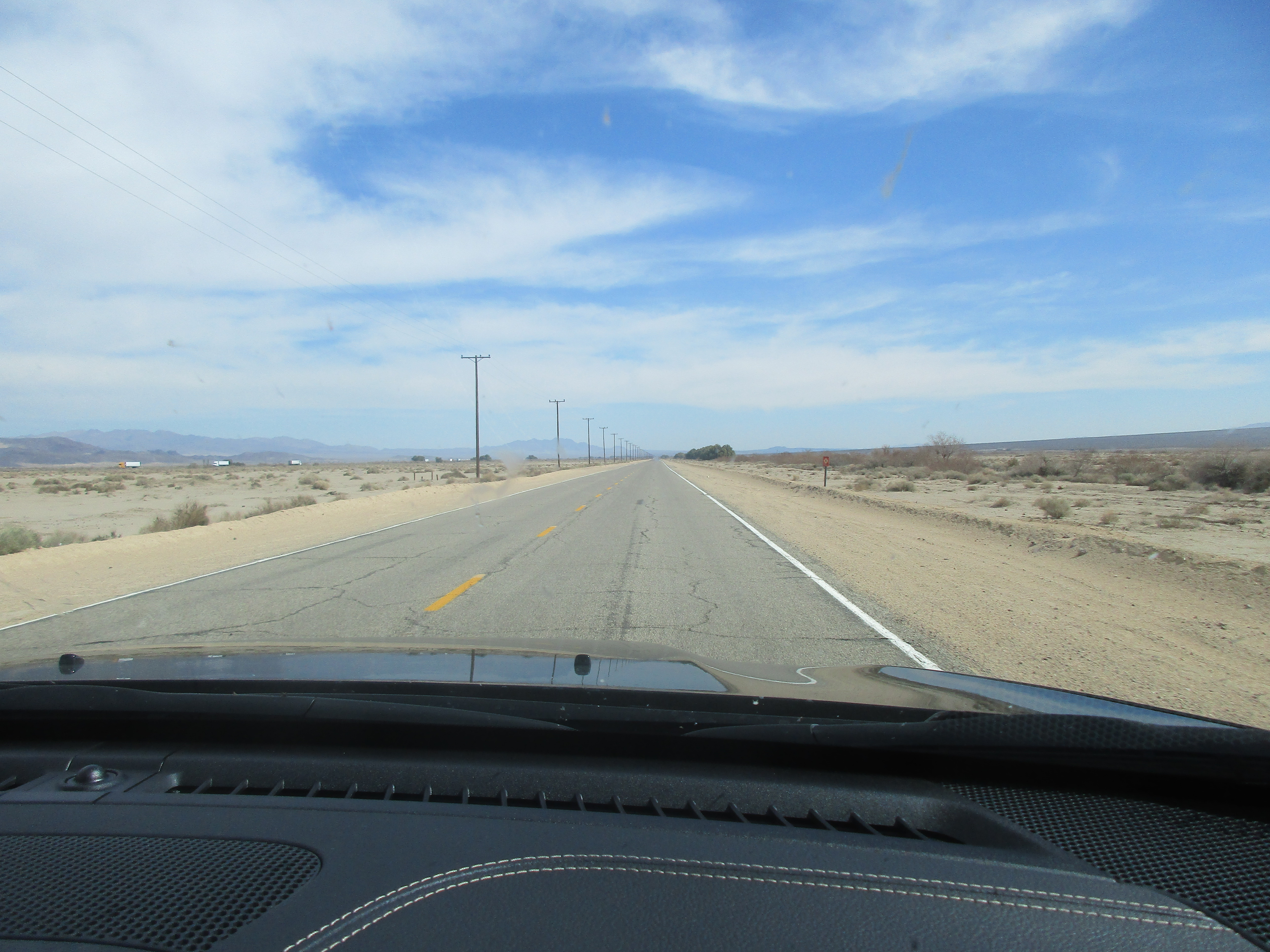
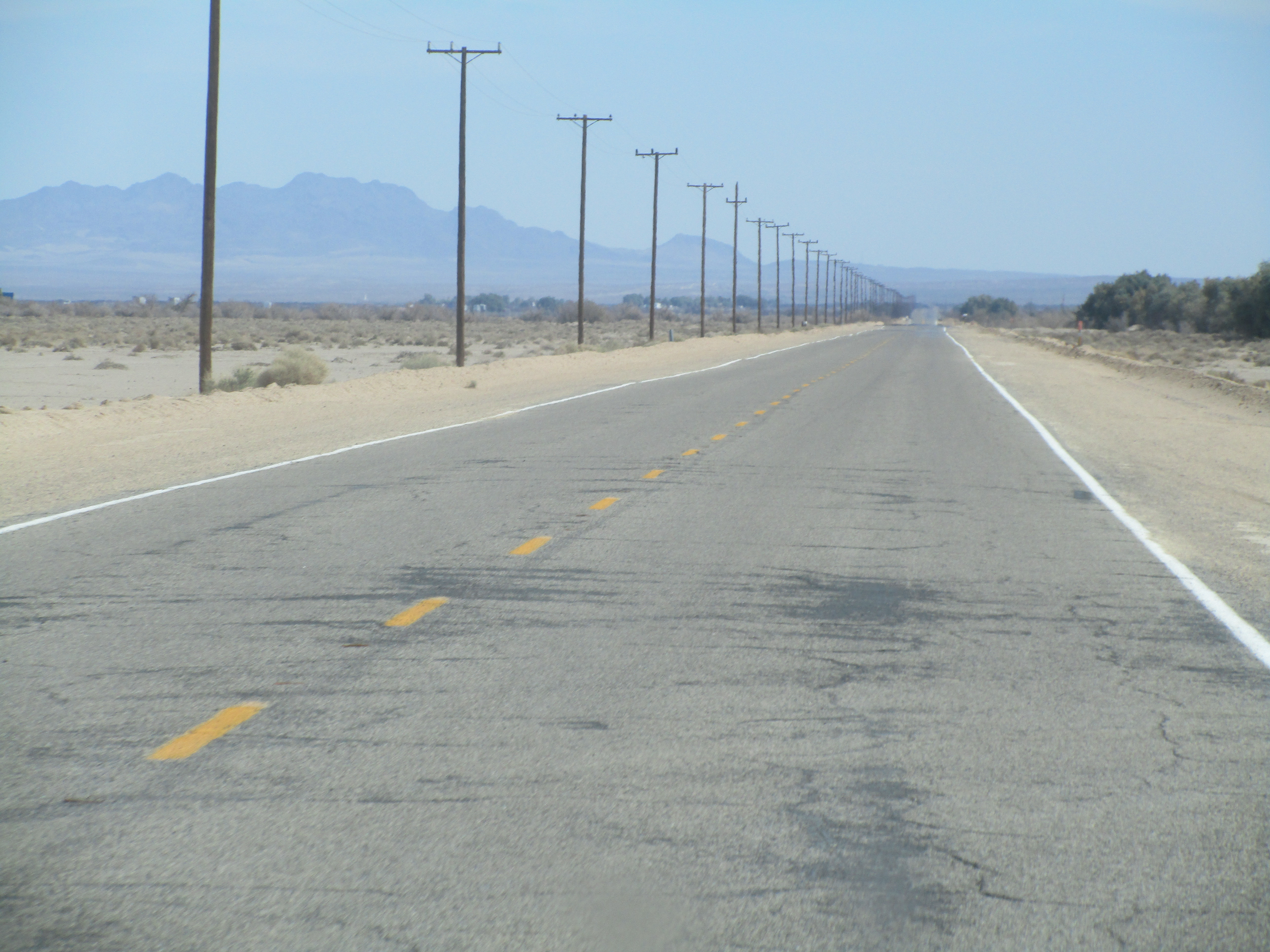
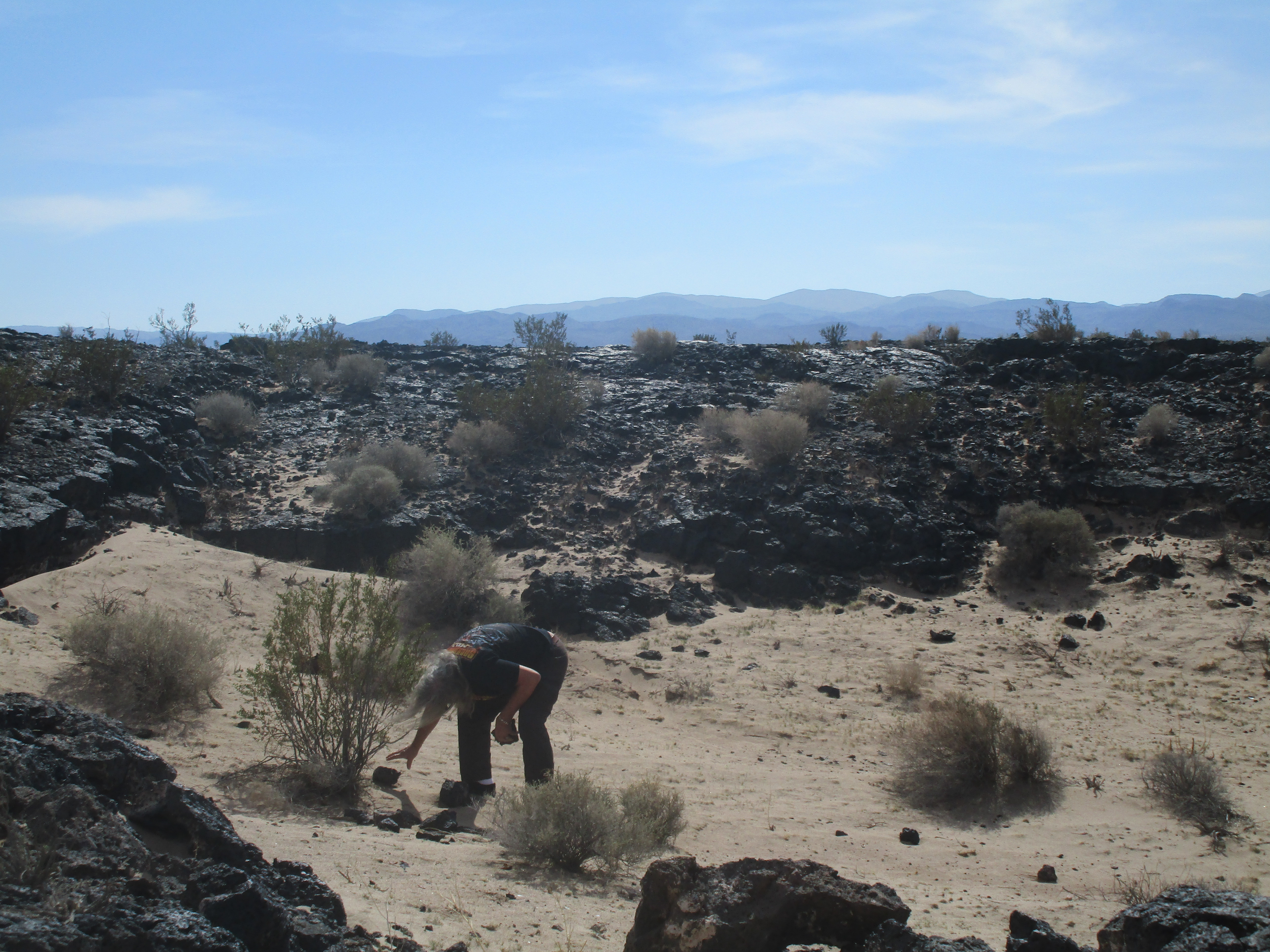
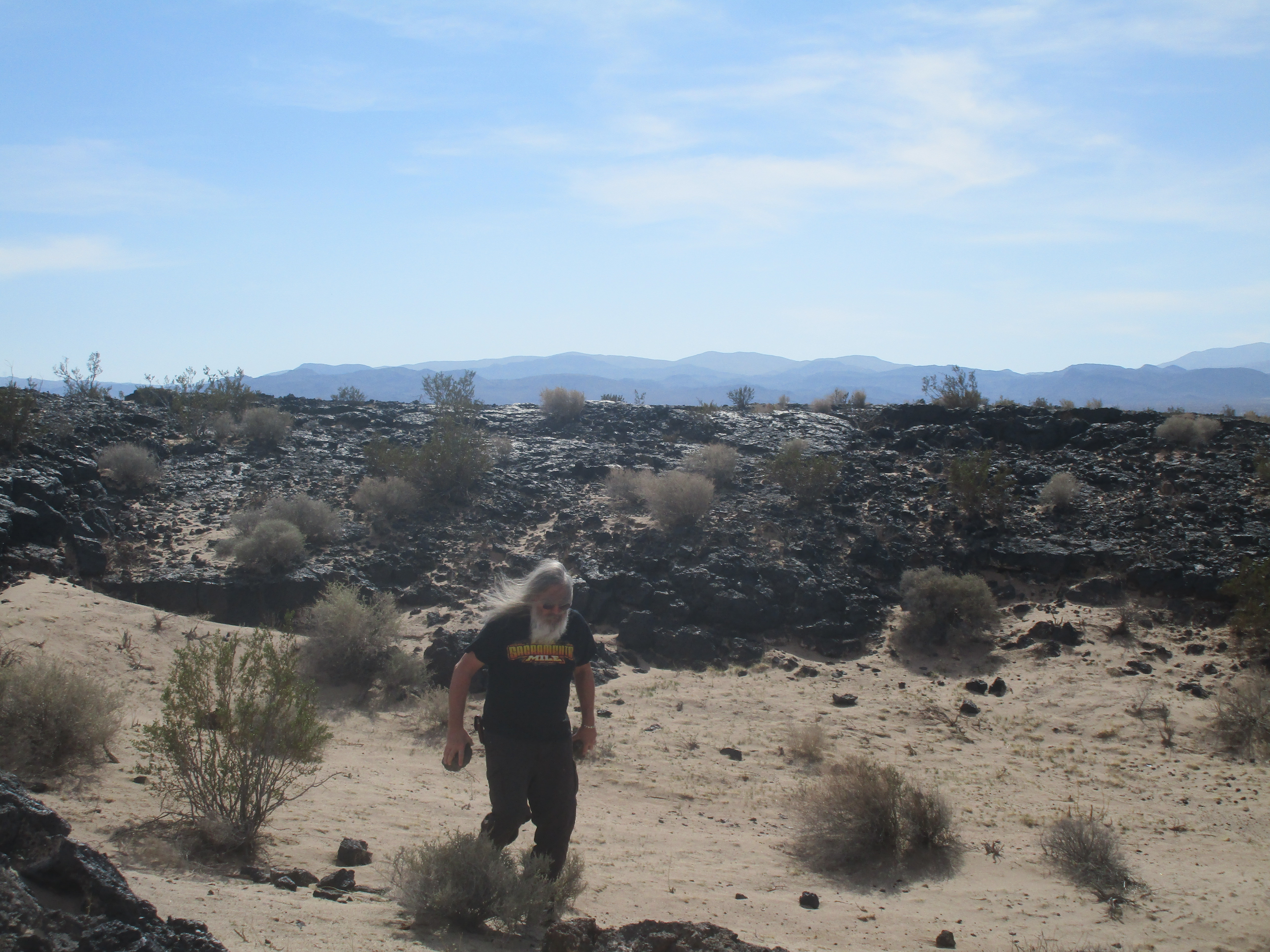
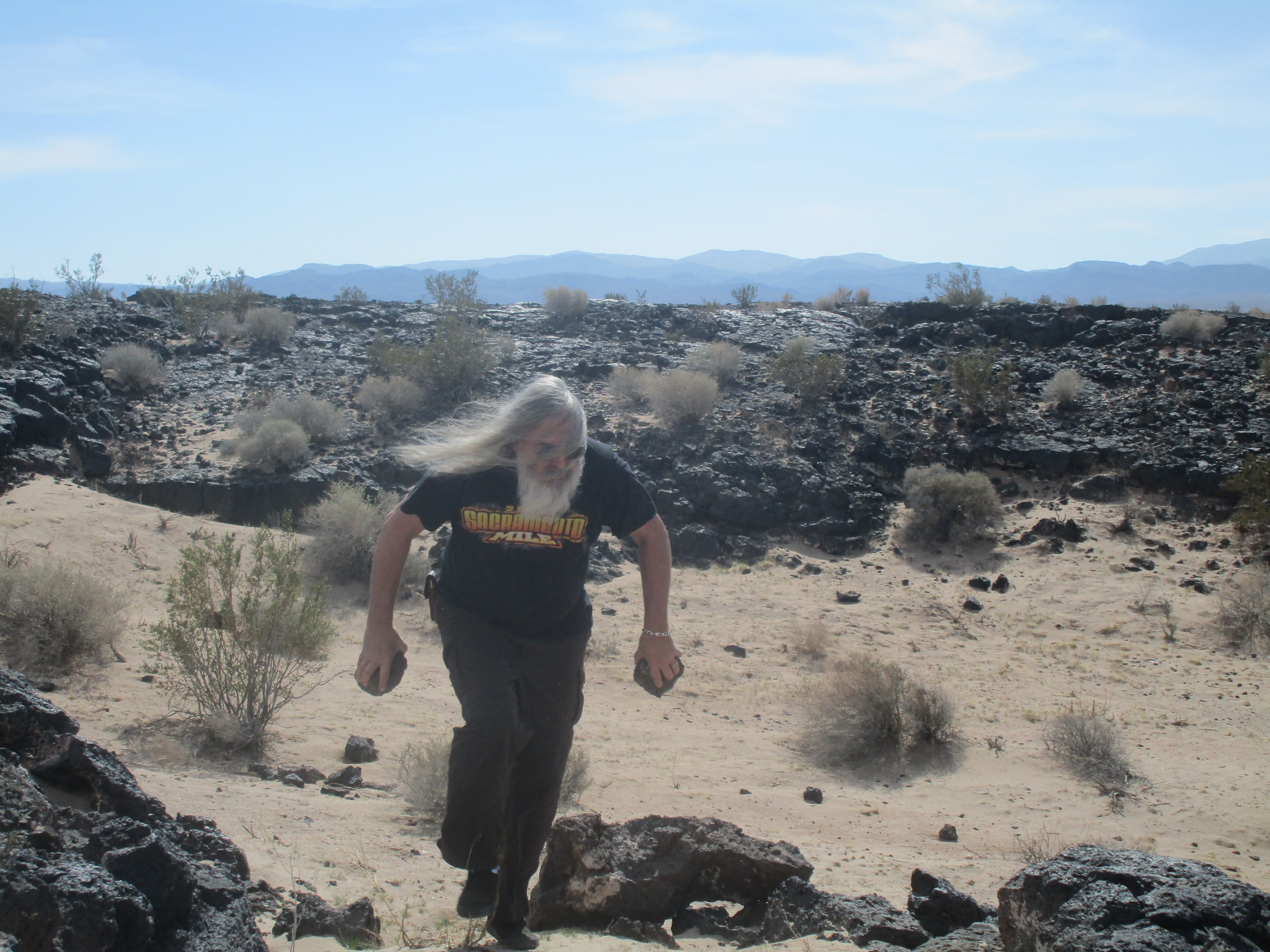
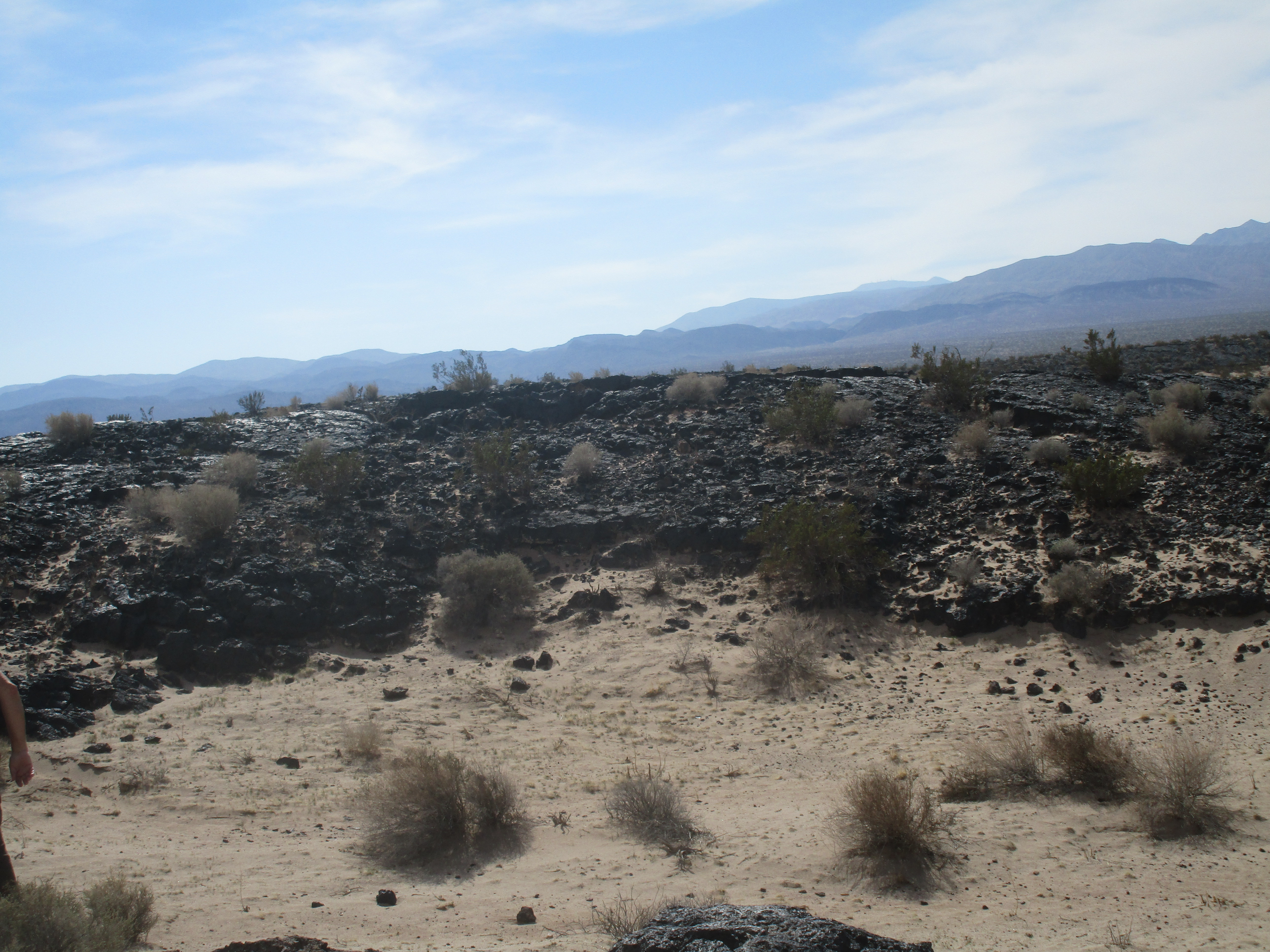
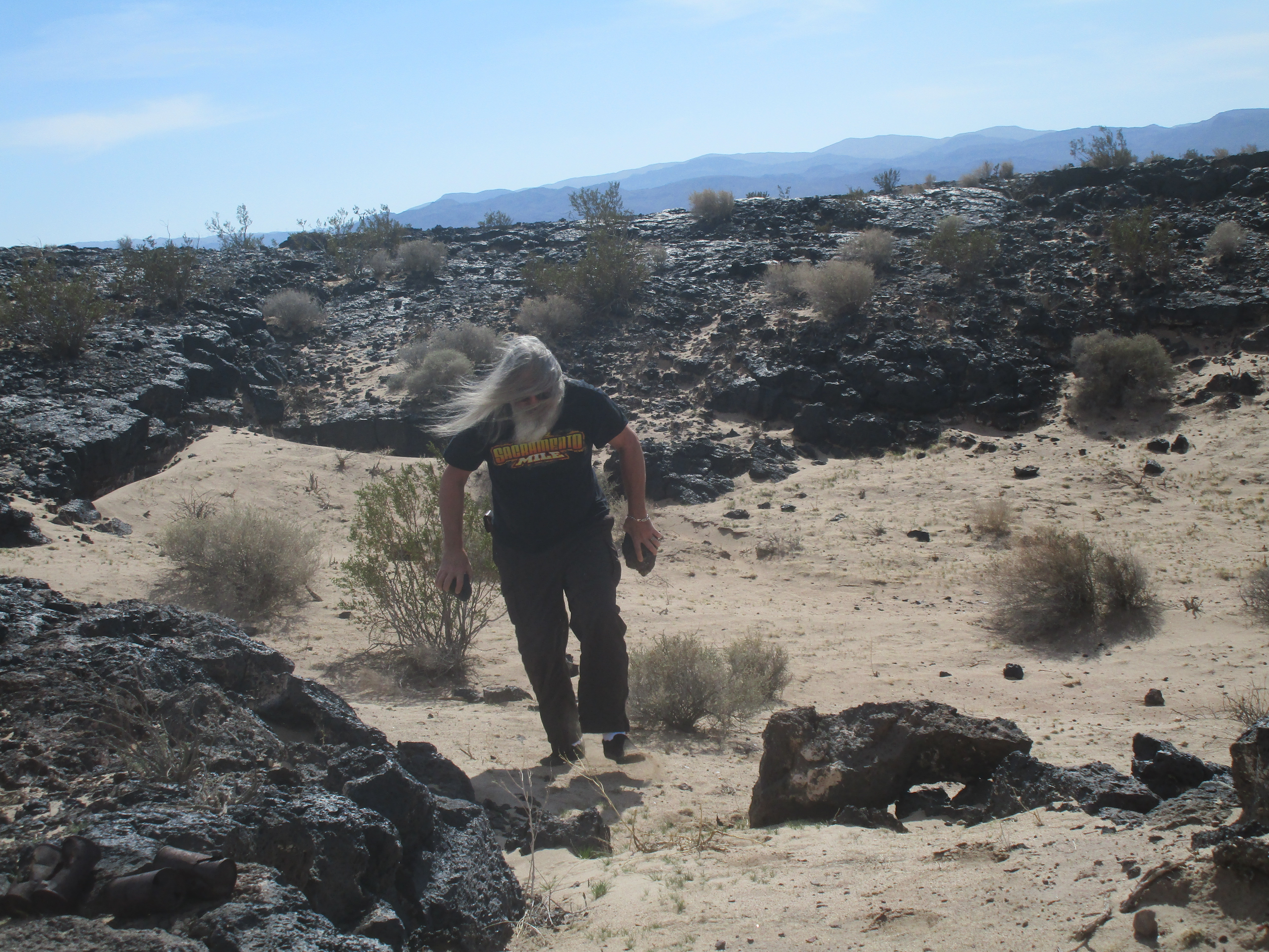
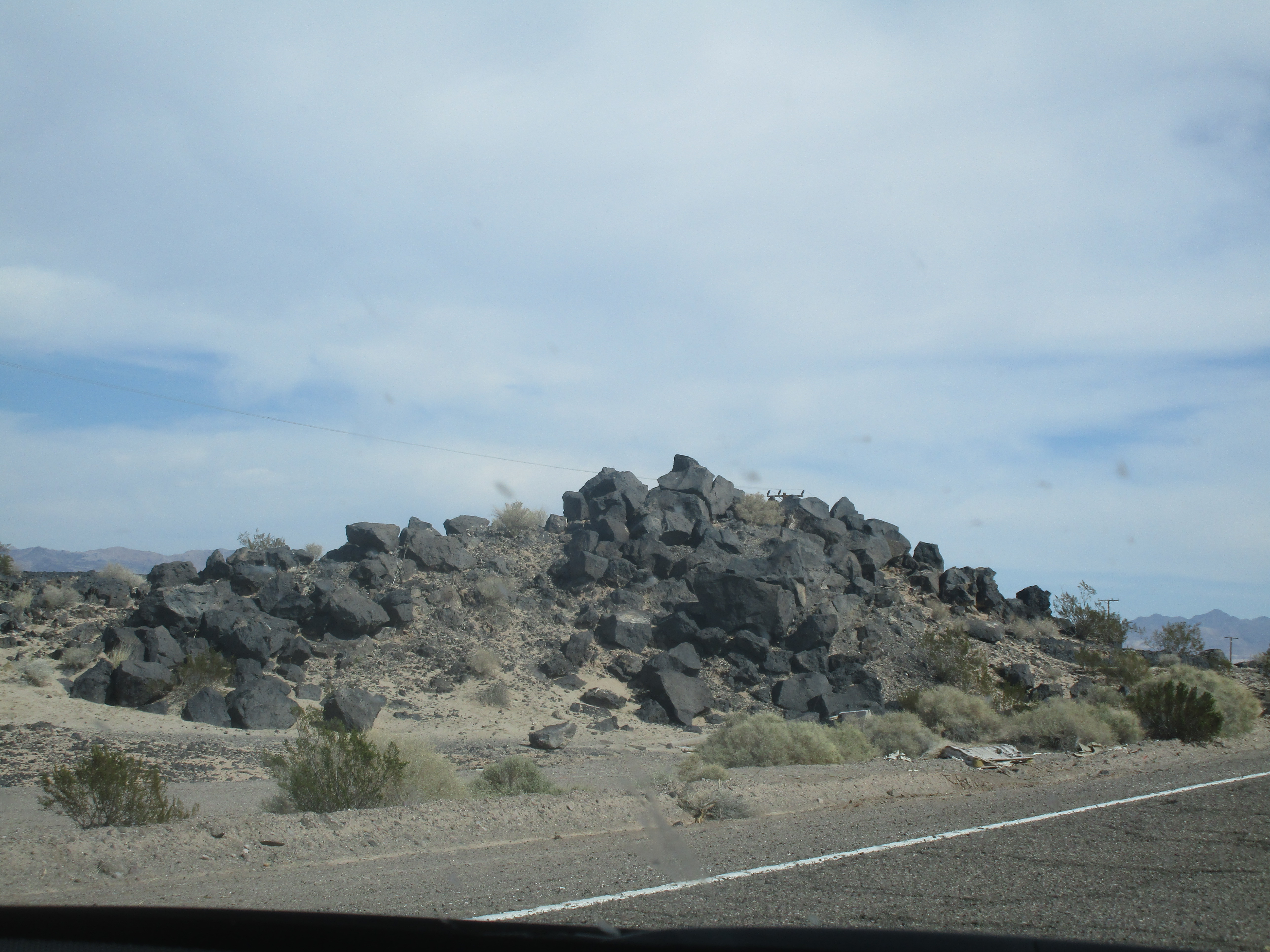
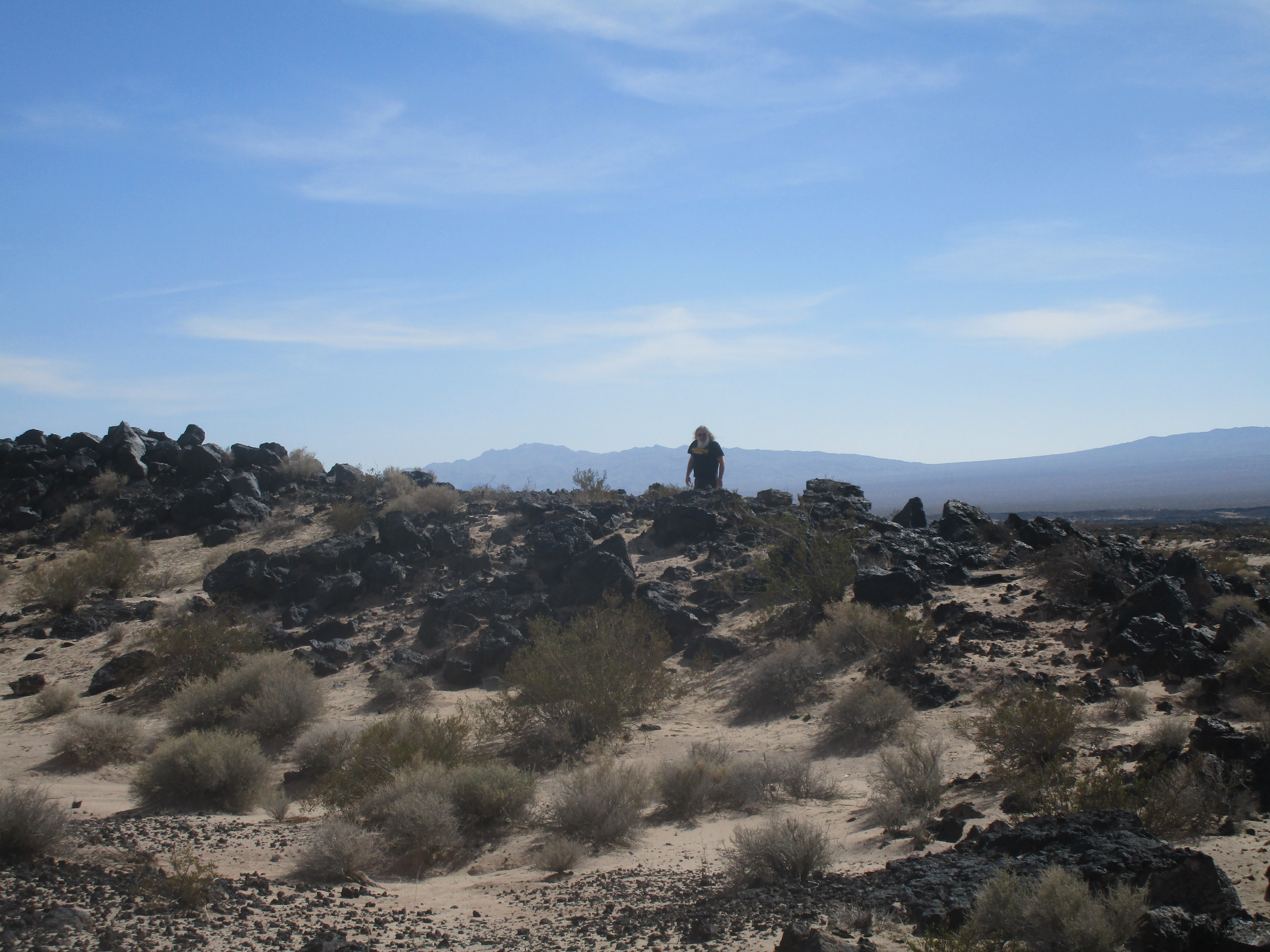
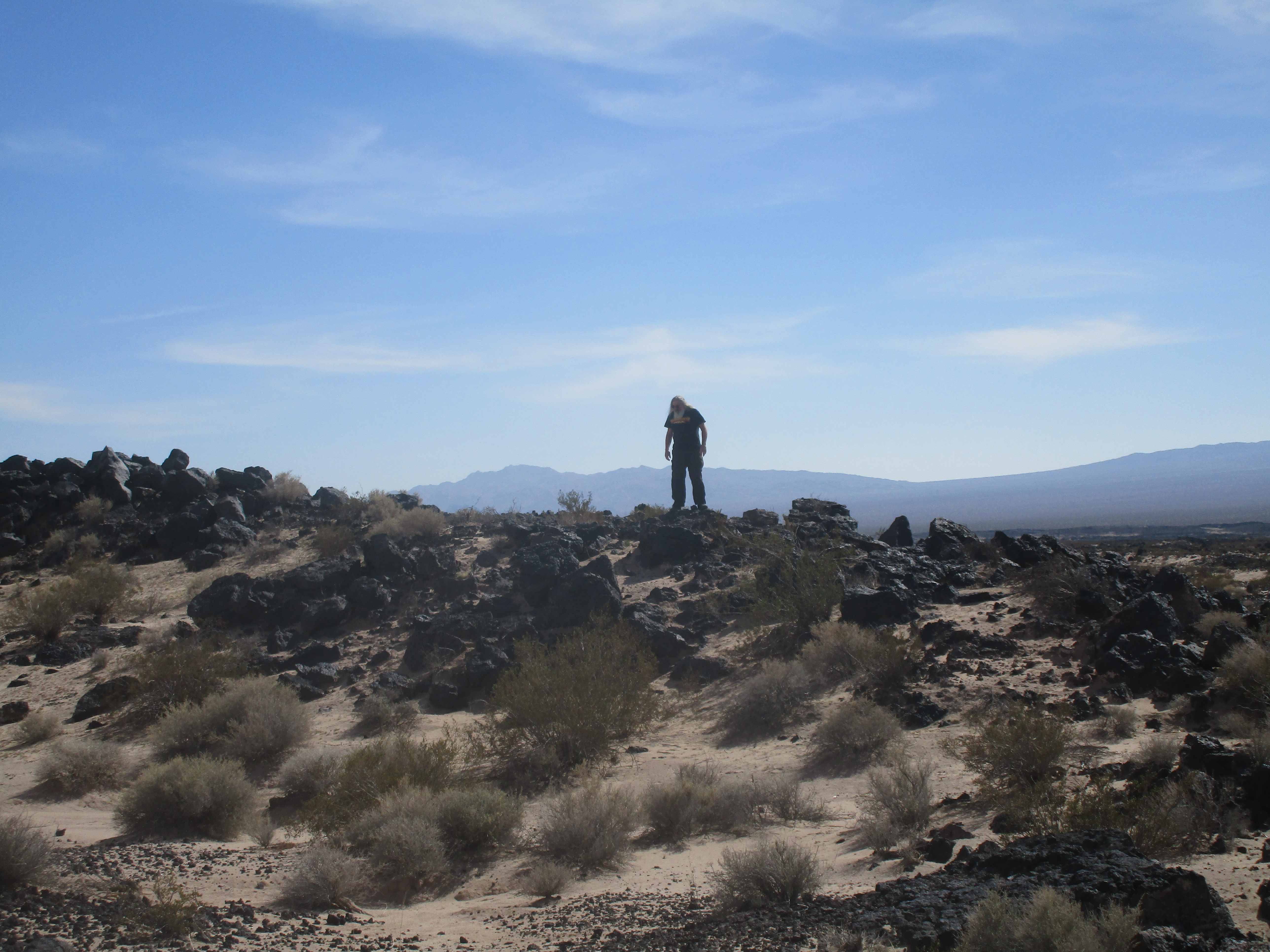
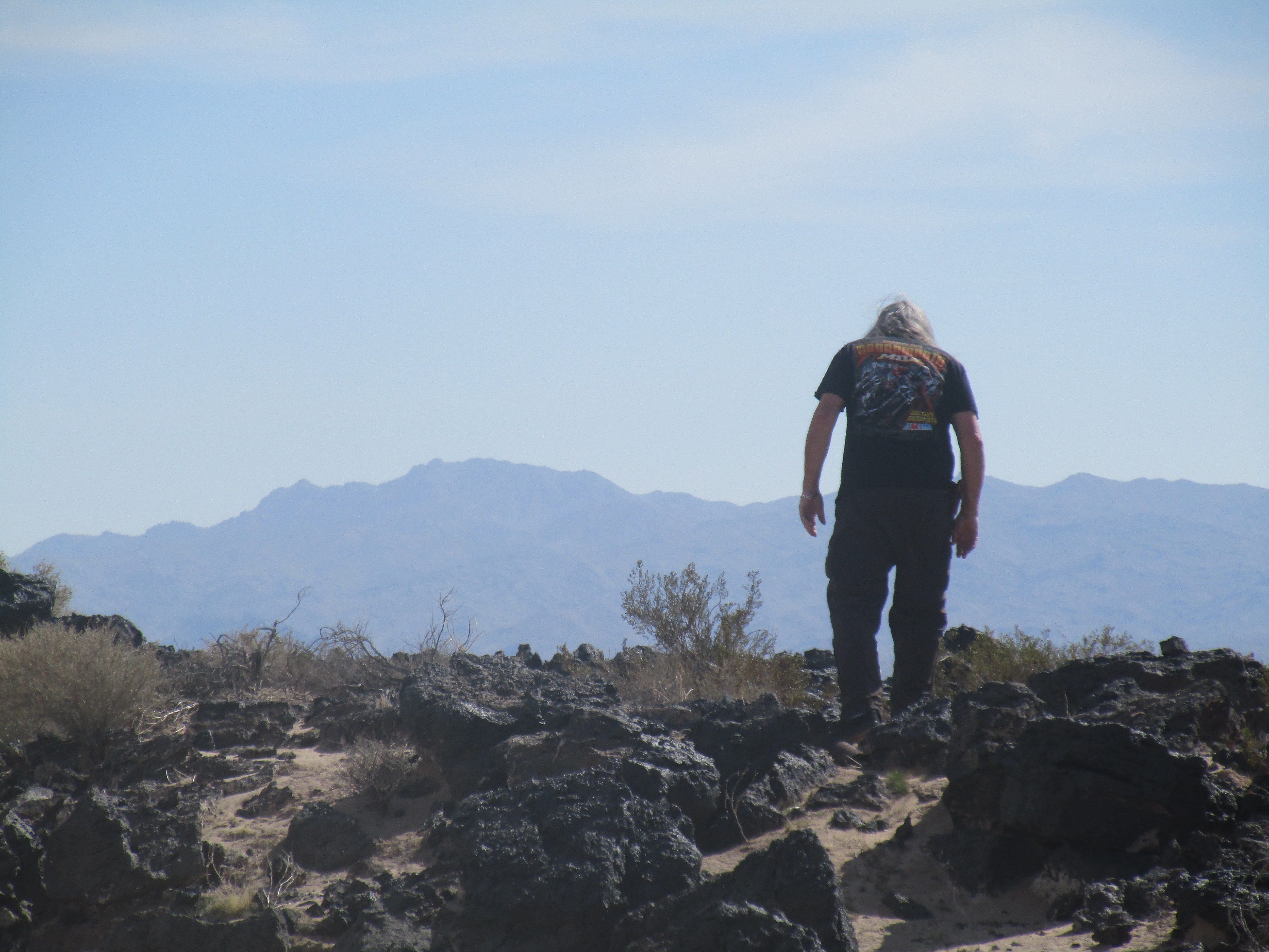
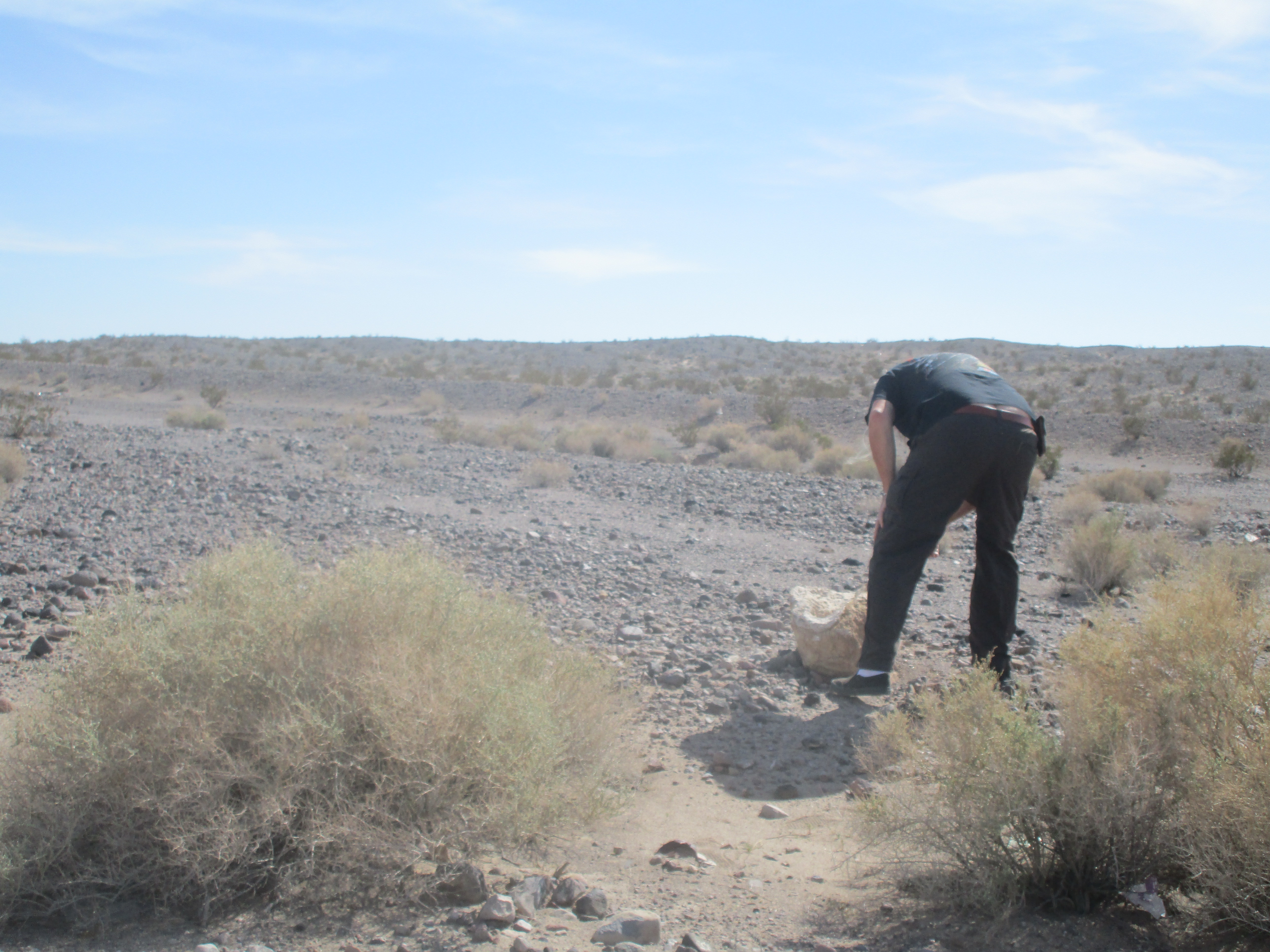
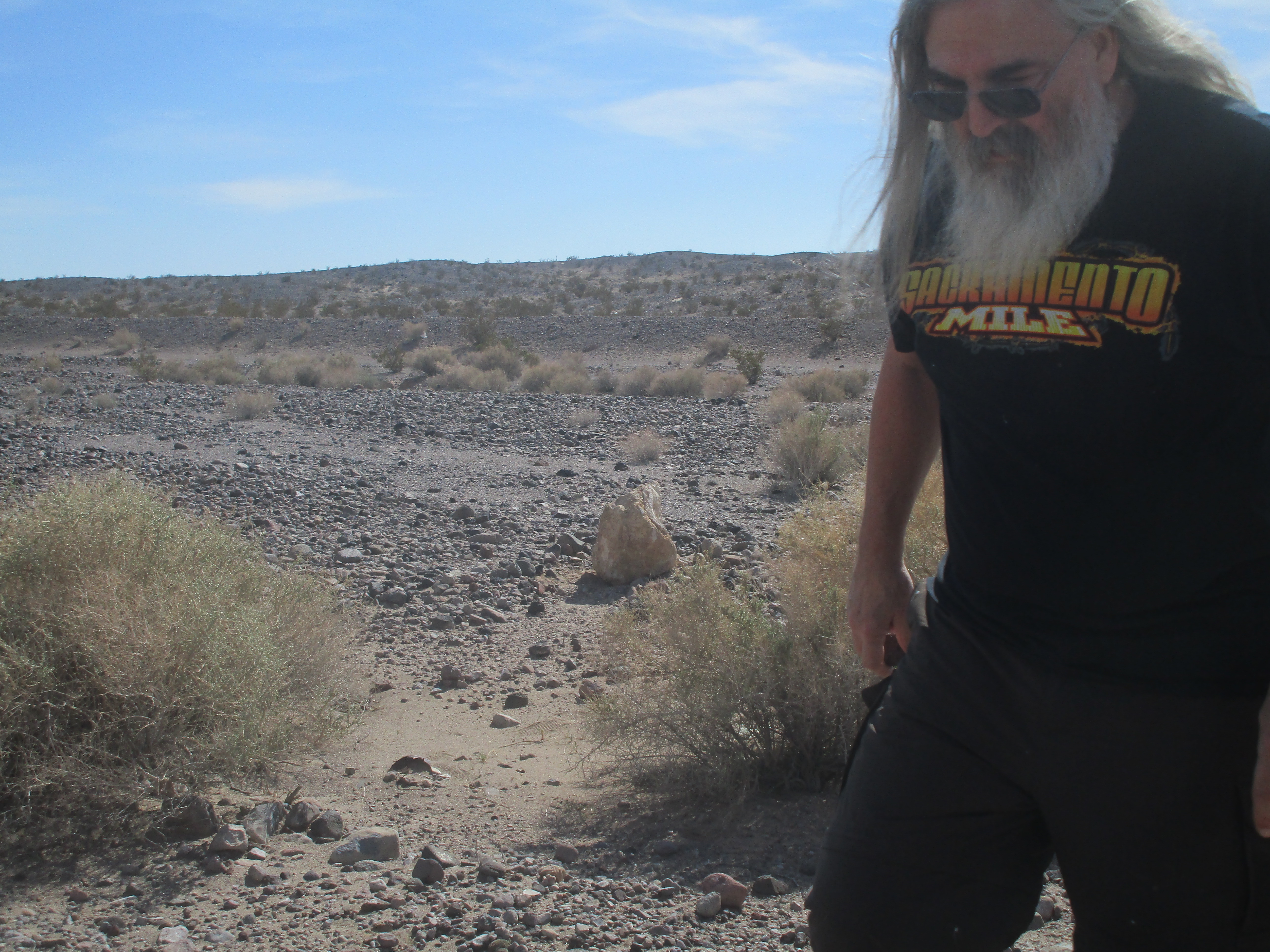
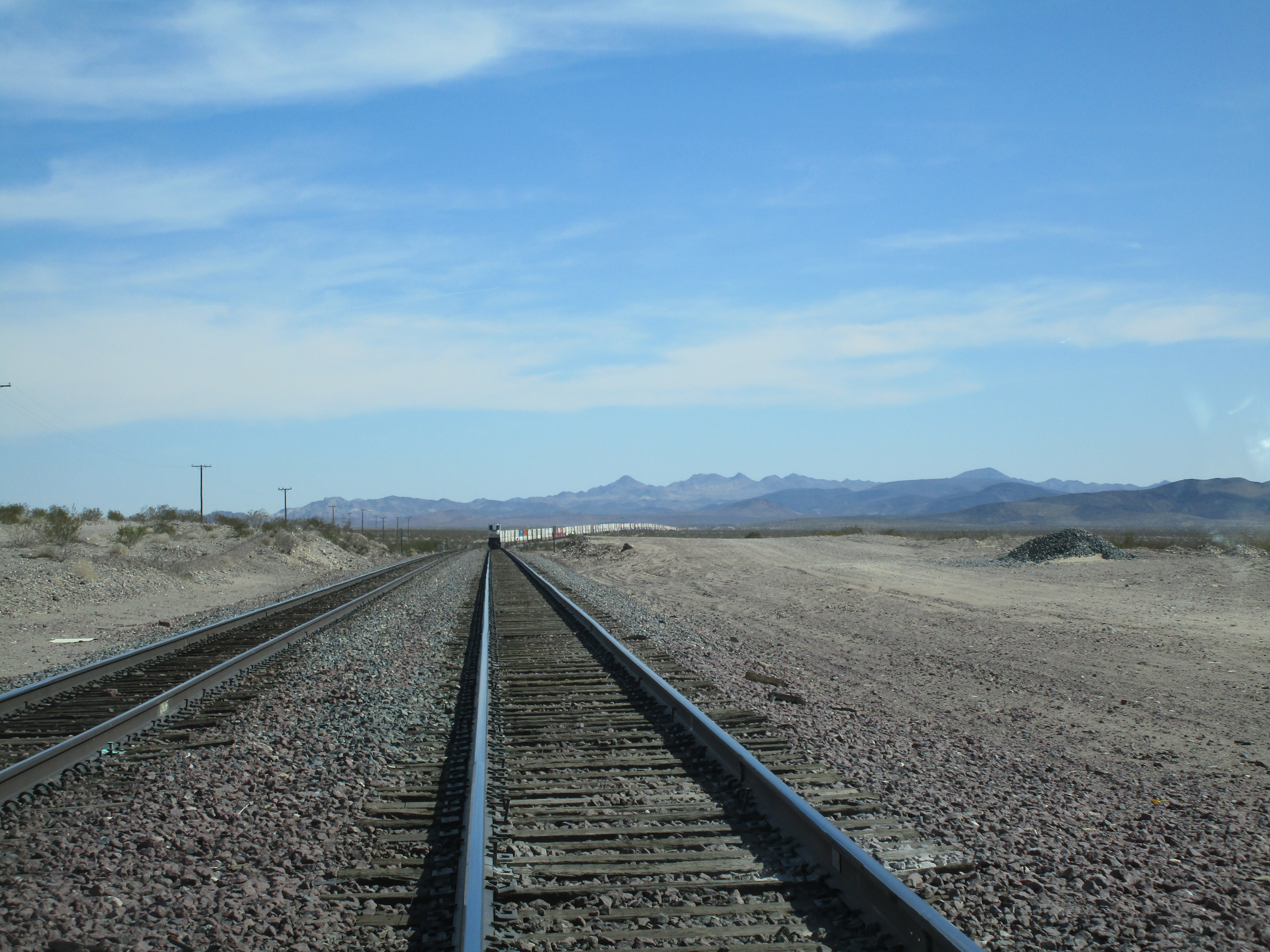
... this part of historic Route 66 went through lava fields from which samples were,
of course, collected... some pieces were left - TOO large to
pick up, had critters under them, etc...
|


|
Note: I went down this very piece of highway long about mid-summer of 1971, at night, before
I40 existed, in a 1959 Cadillac towing a trailer that was 7'10" wide,
and, at EVERY gully's bridge (all of which were narrow!) I met an 18-wheeler - just
aimed at the center of my lane and crossed my fingers... apparently that worked...
|


|
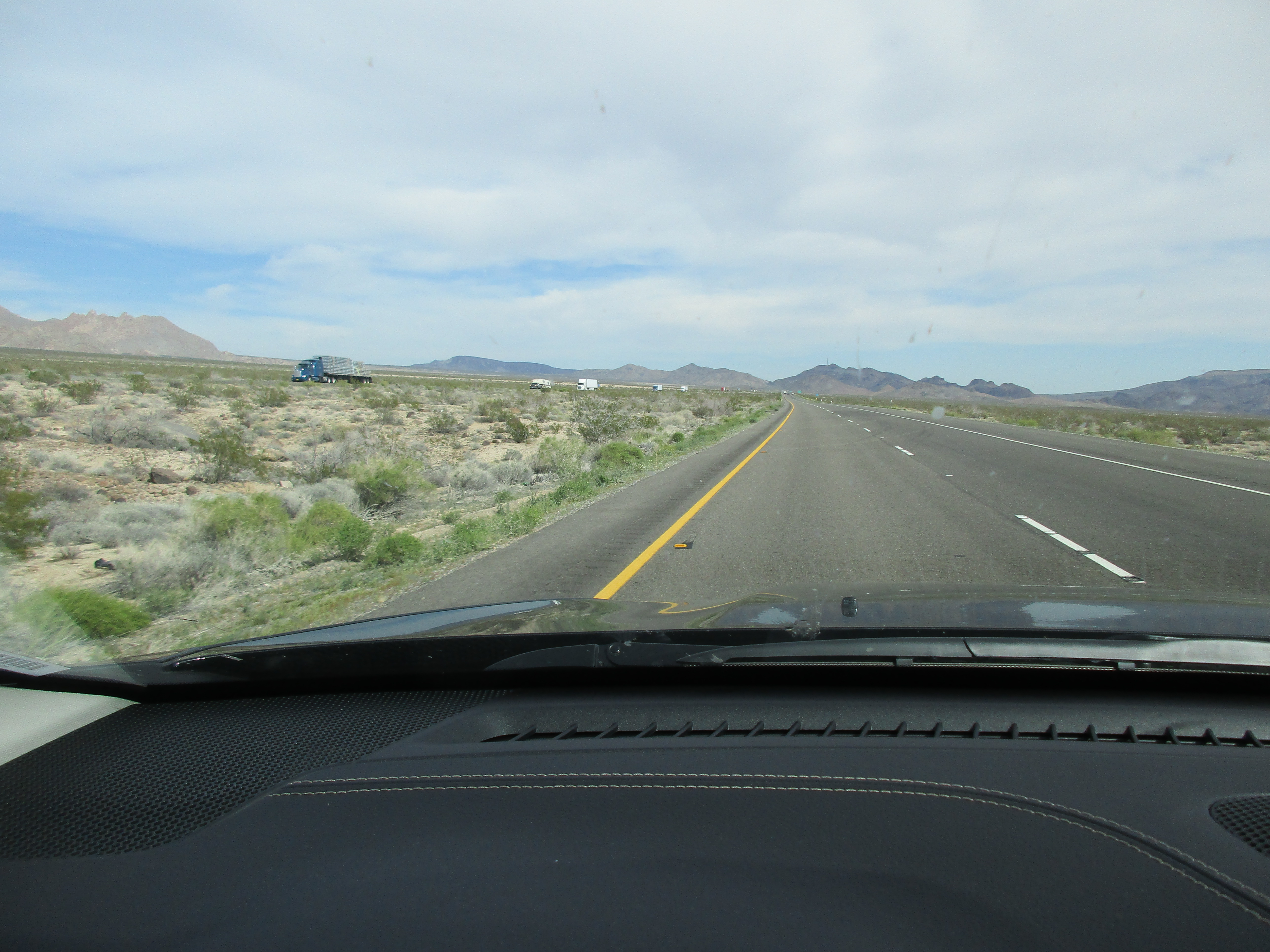
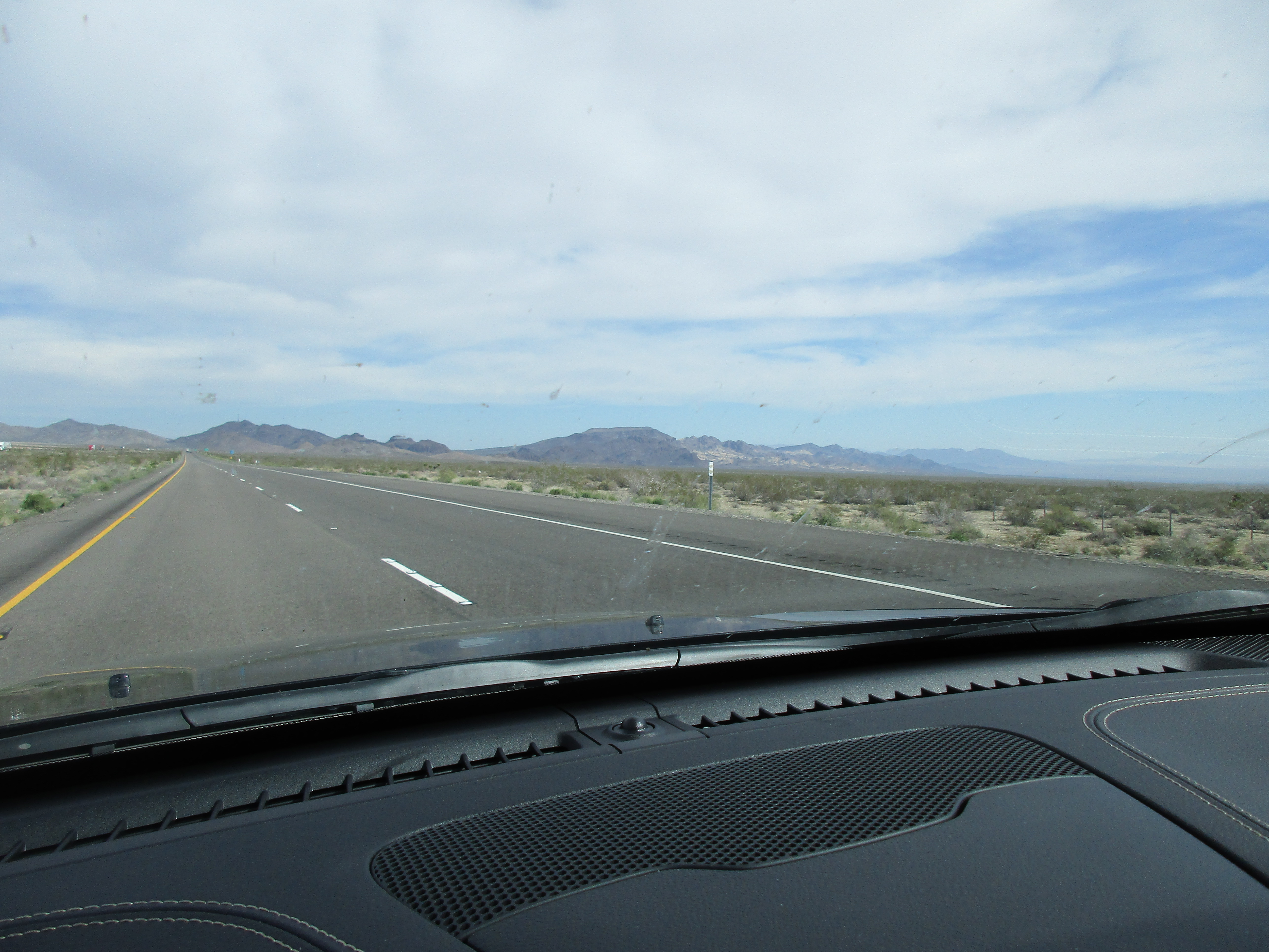
... ok... back onto I40...
|


Day 02 [27FEB16/SAT] West Sacramento CA to Kingman AZ... selected photos
Day 02 [27FEB16/SAT] West Sacramento CA to Kingman AZ... (1) photos 001-073
Day 02 [27FEB16/SAT] West Sacramento CA to Kingman AZ... (2) photos 074-147
NEXT: Day 03 [28FEB16/SUN] Kingman AZ to Albuquerque NM...
