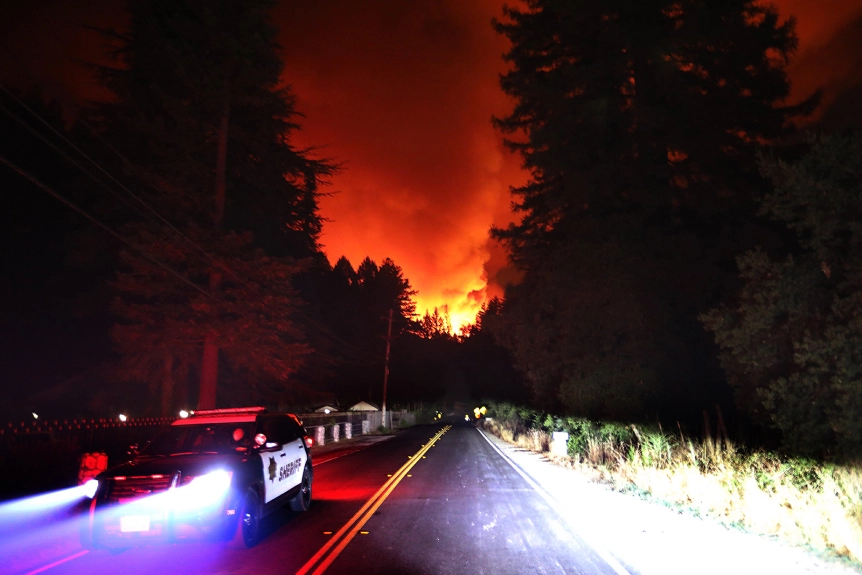
| 16AUG20/Sunday/2:30am - Let Penny out to go potty and get a drink and witnessed incredible lightning accompanied directly with high winds which sent Penny quikly back inside... smoke already in the trees at daylight... |
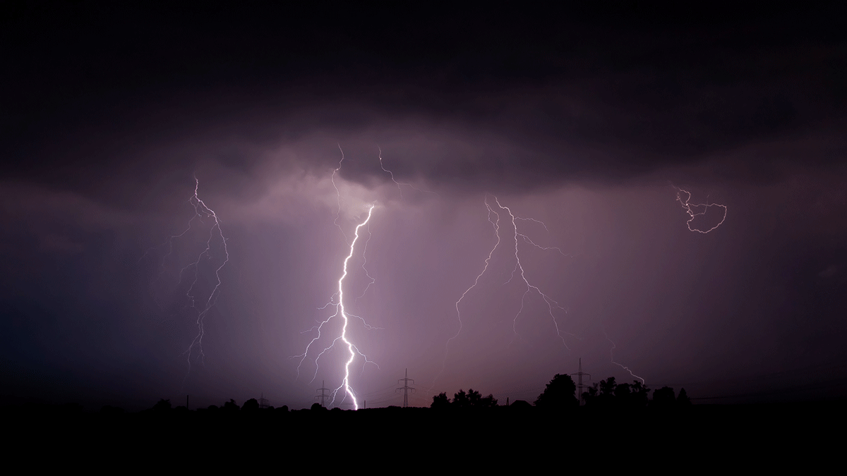 
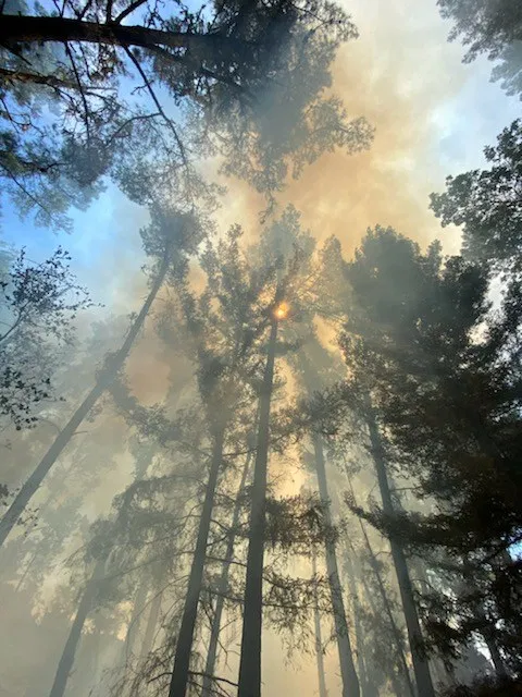
| 17AUG20/Monday - a ring of fires were started on surrounding mountain tops... no worries... they will burn upward and out... |
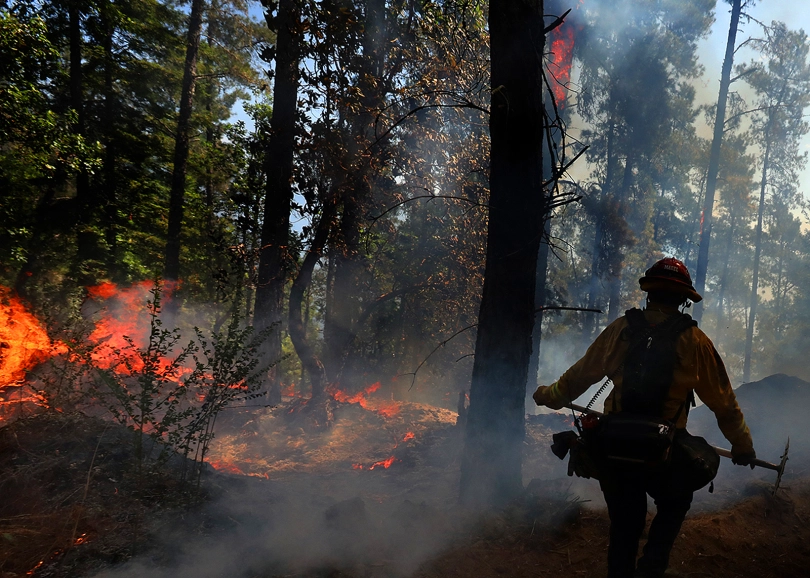 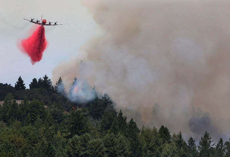
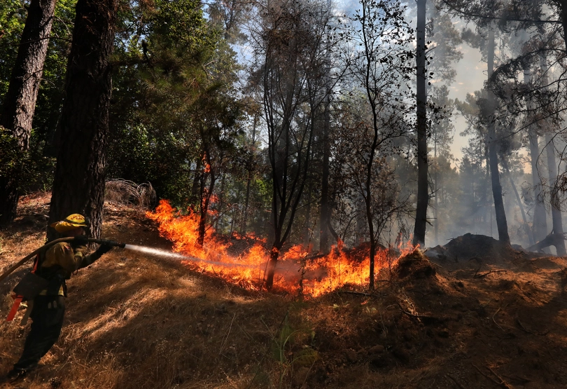 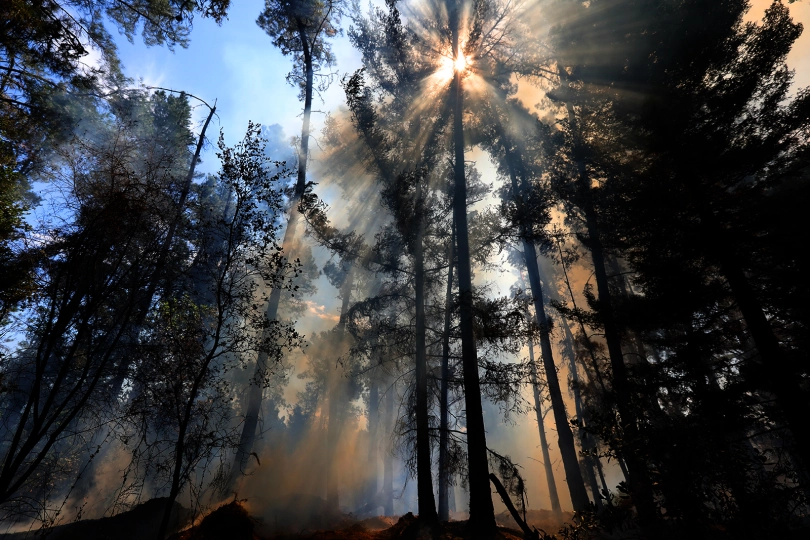
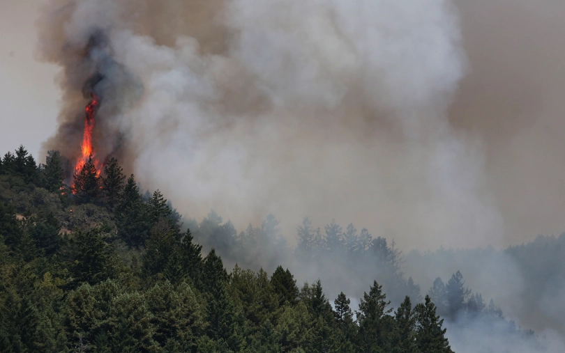 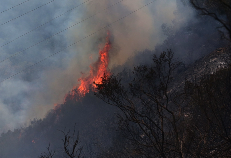
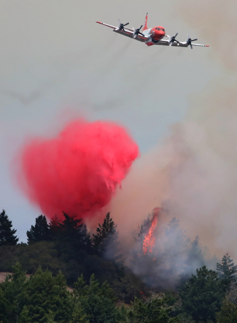 
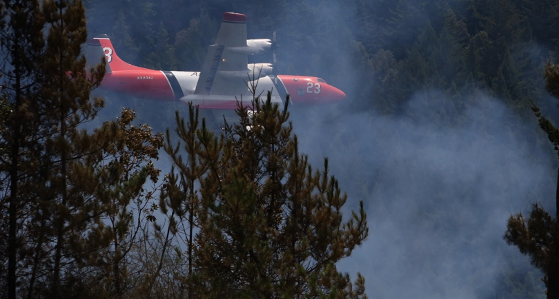 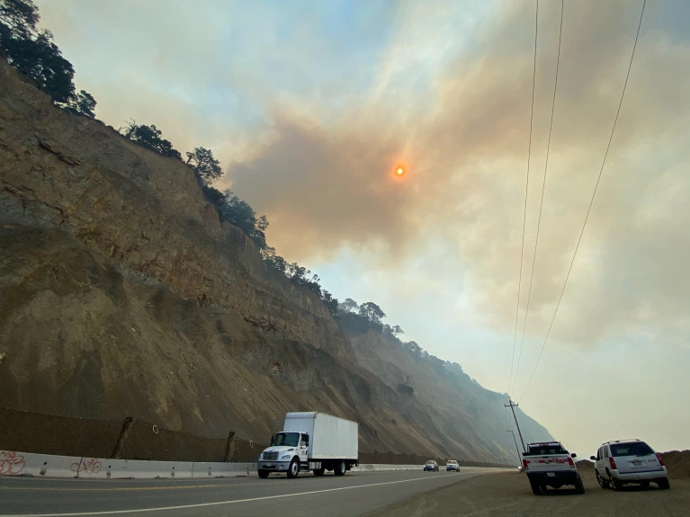
| 18AUG20/Tuesday - fires were still burning on surrounding mountain tops... smokey sky... |
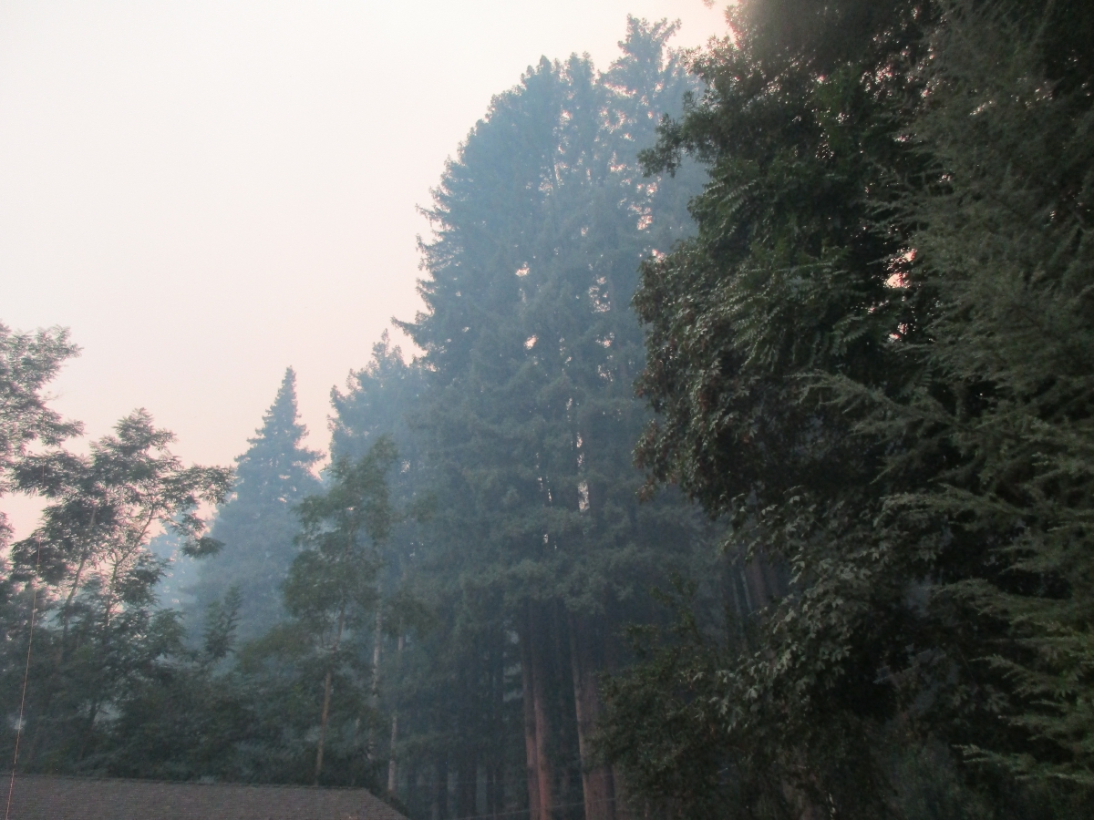 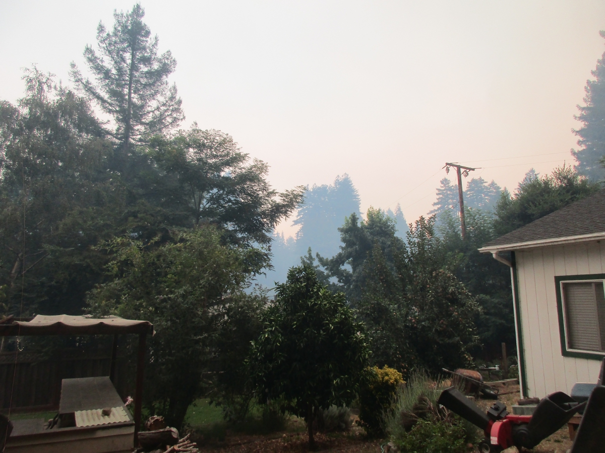
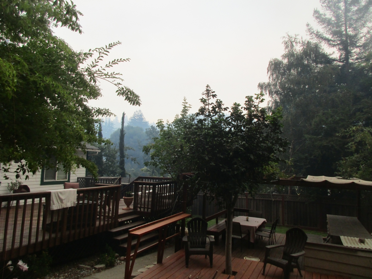 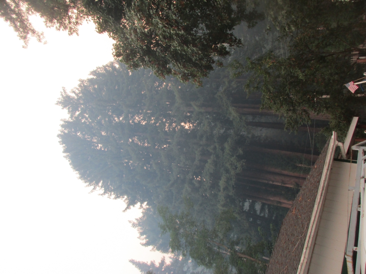
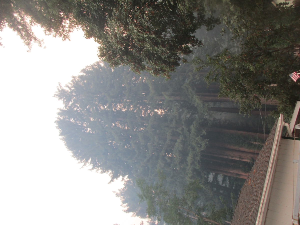 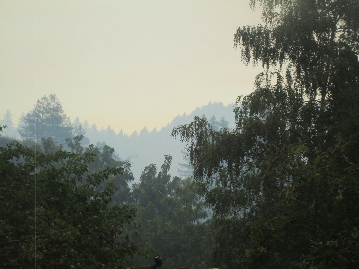
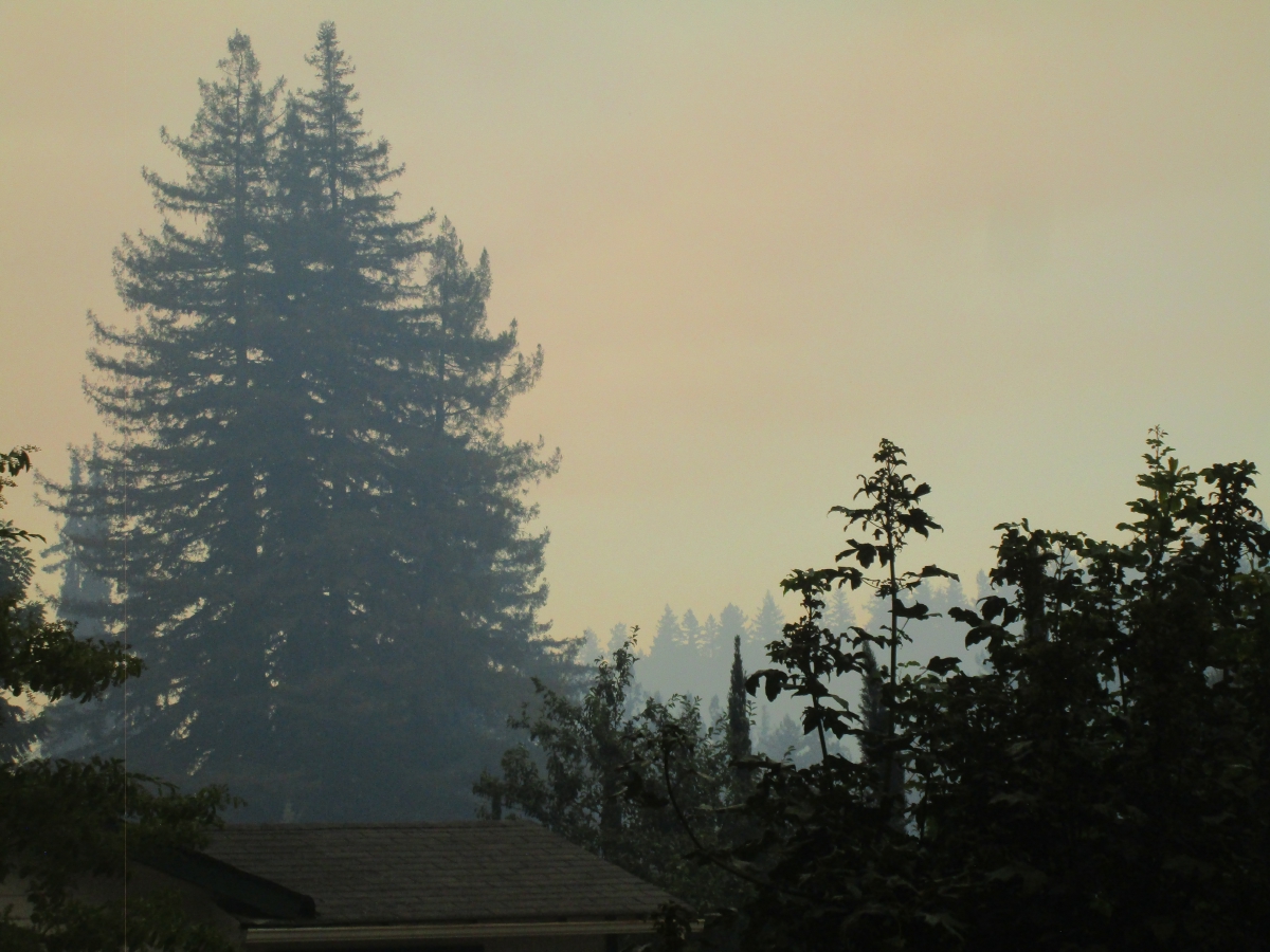
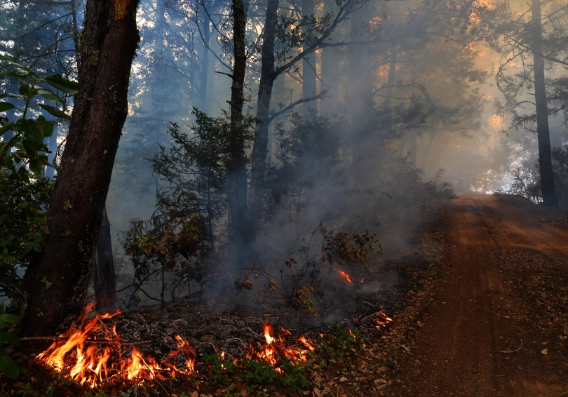 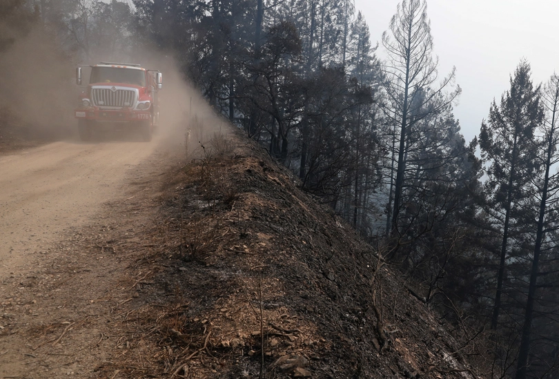
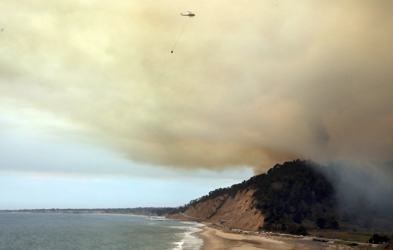 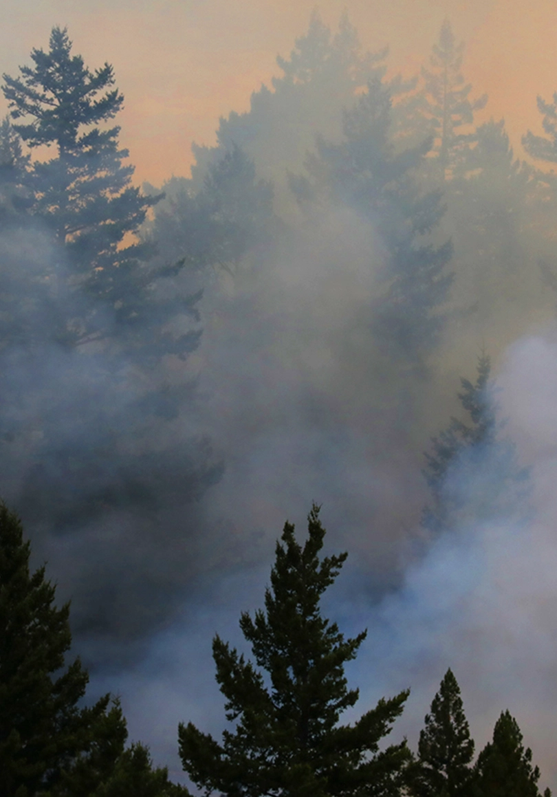
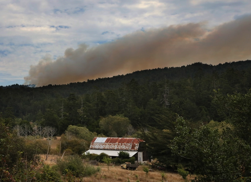
| 19AUG20/Wednesday/2:30am - awakened by phone call... evacuate now... gathered some stuff up and put into the car... still dark... waited for daylight for encouraging change of which there was not one... fires were still burning and spreading on surrounding mountain tops... smokey sky and ash all over everything... by 9am we were out of there Sharon, Penny & Lucy in the Solora, Rusl on the Twin-cam, Jill, Tyler & Sox in the Chevy SUV, Richard & Jack in the pick-up truck... destination: the "P&M B&B" in Sunnyvale... with all the fires between here and there it was a smokey drive all the way... |
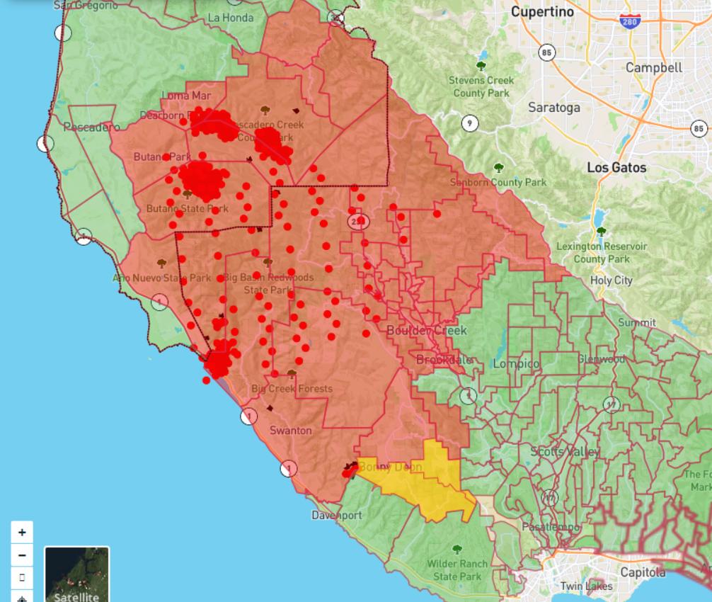 
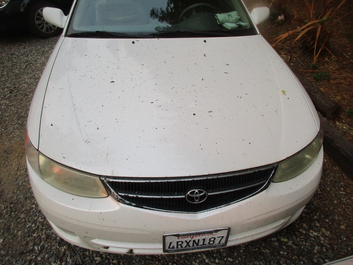 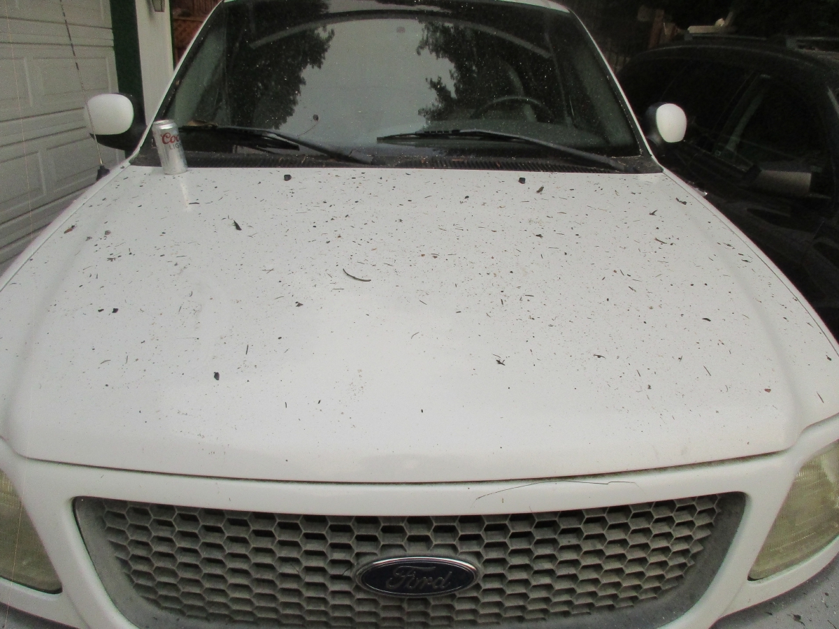
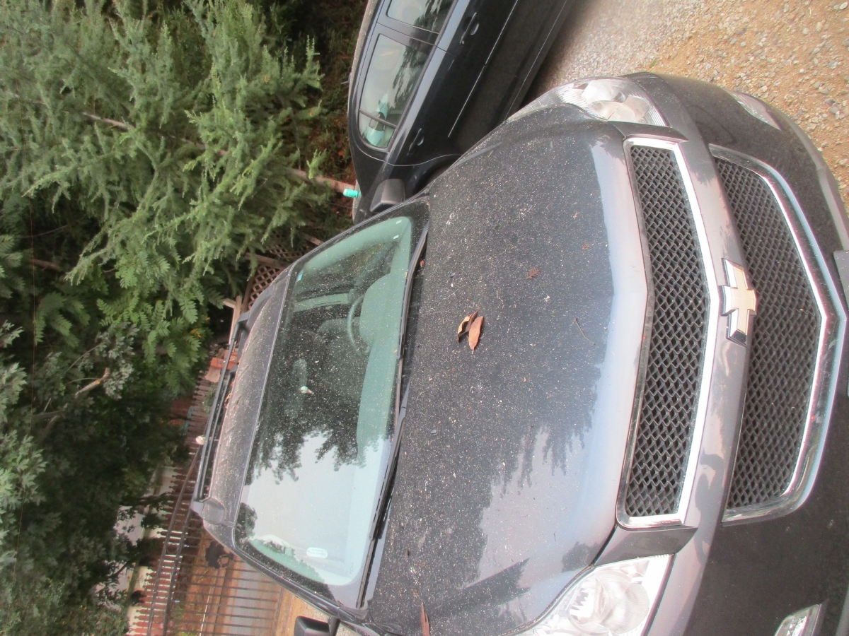 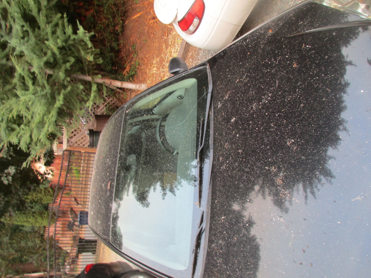
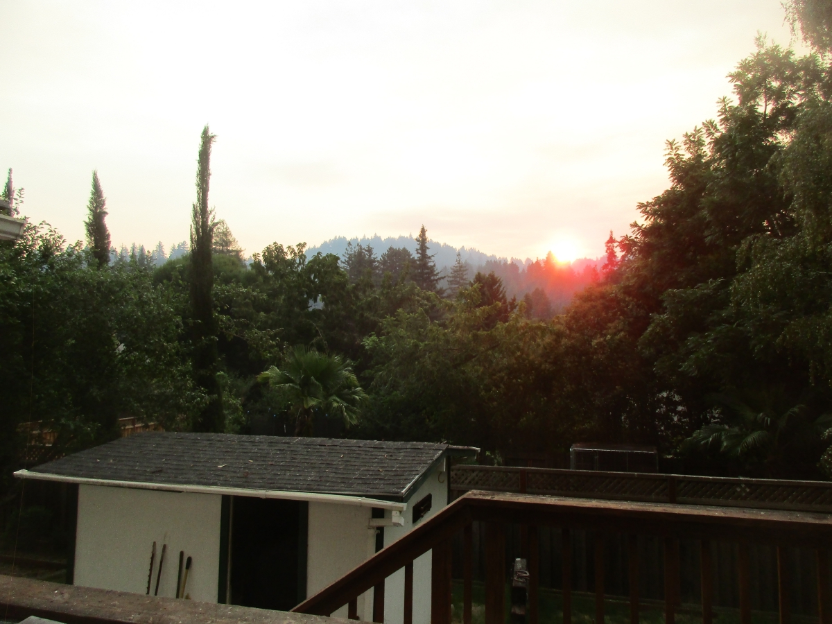 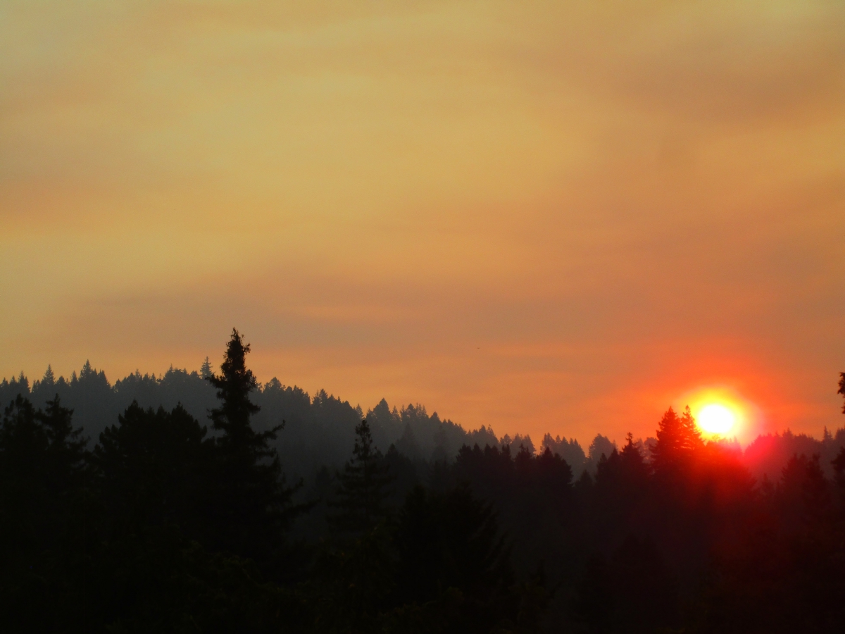
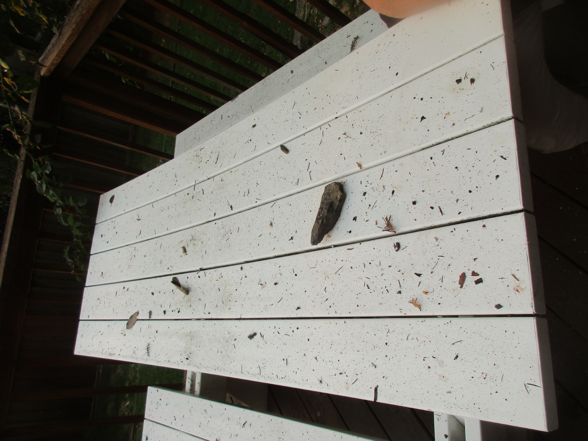 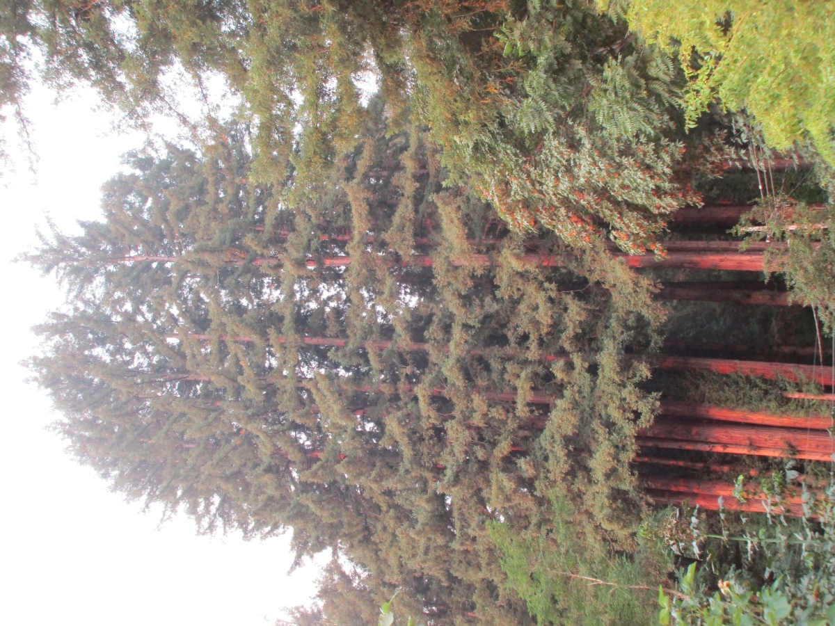
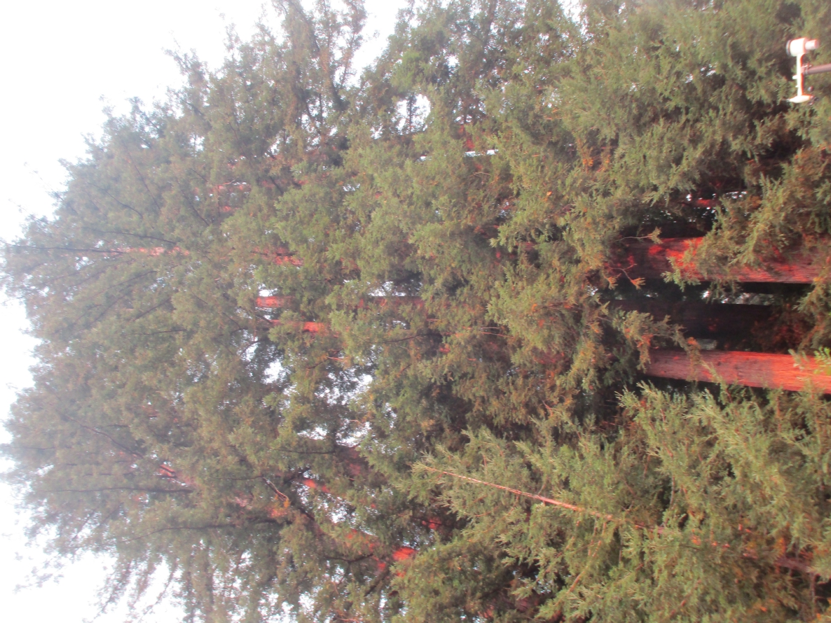 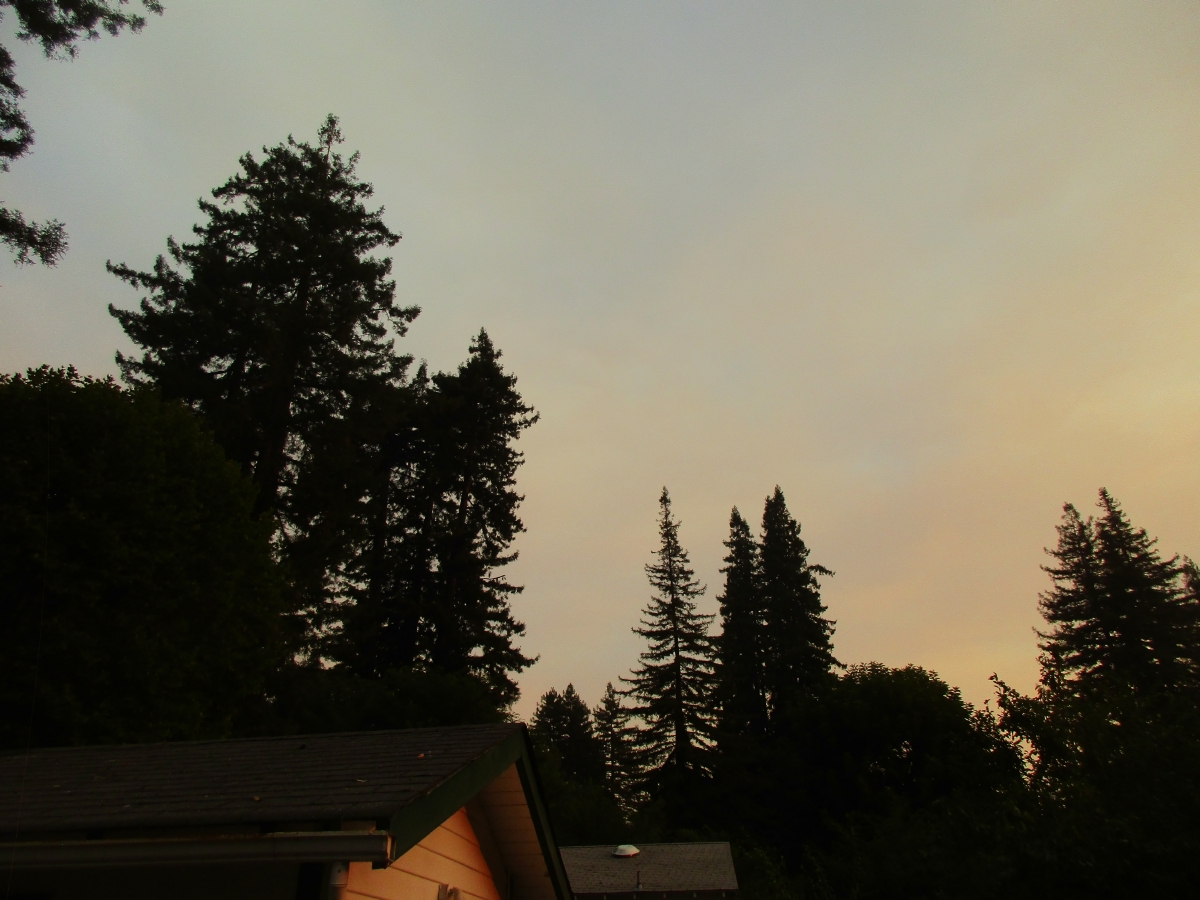
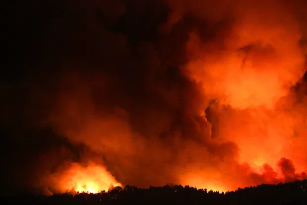 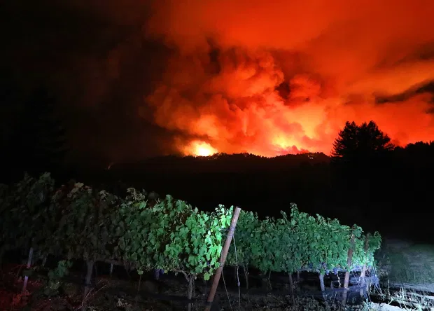
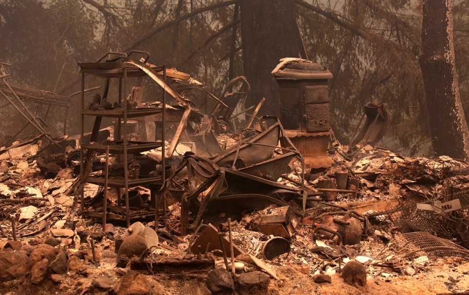 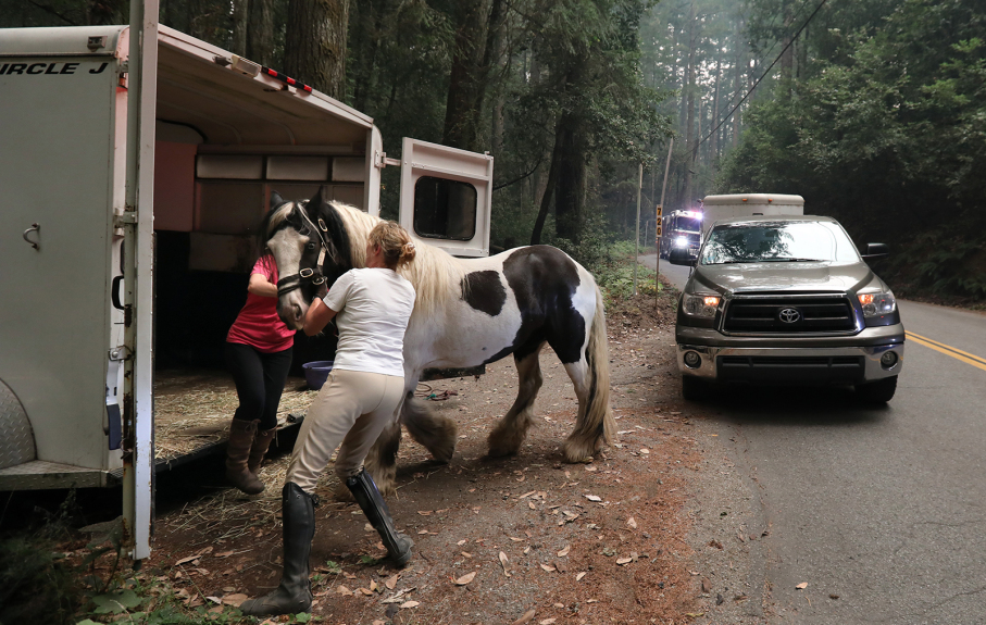
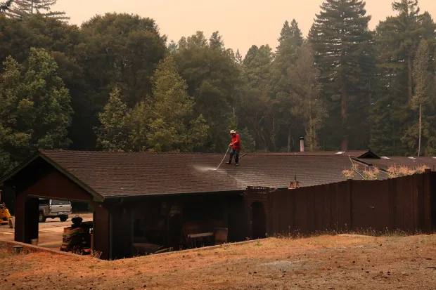
| 20AUG20/Thursday - day 2 at the "P&M B&B" in Sunnyvale... fires still burning and growing... |
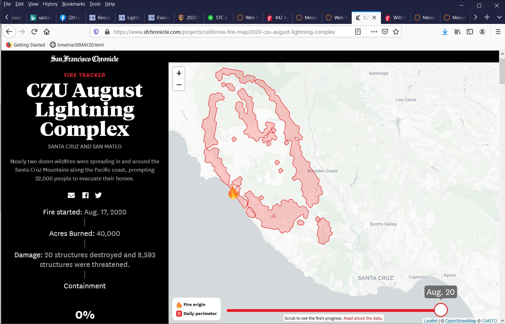
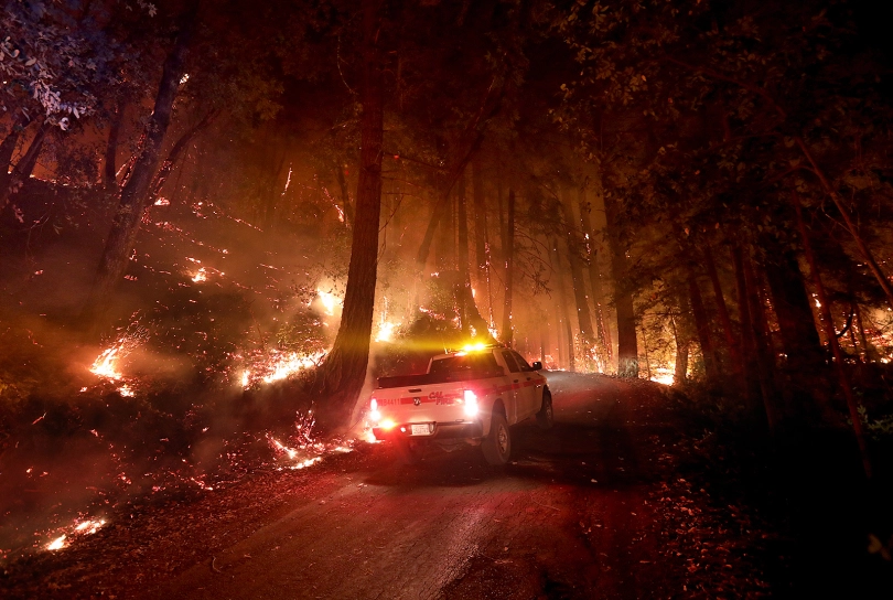
| 21AUG20/Friday - day 3 at the "P&M B&B" in Sunnyvale... fires still burning and growing... we are off to West Sac with the dogs to get Penny's shot medicine... and some more flea/tic/heartworm medicine (which we neglected to bring when evauated)... with all the fires between here and there it was a smokey drive all the way... |

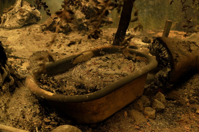 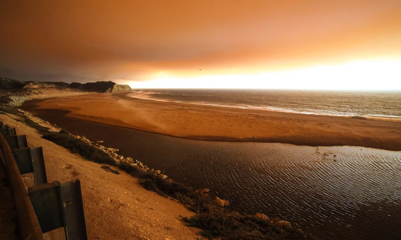
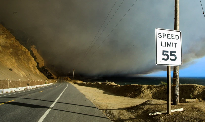 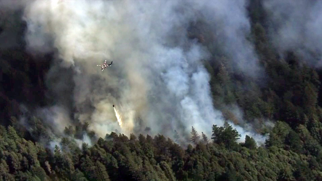
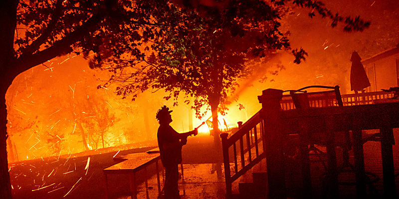 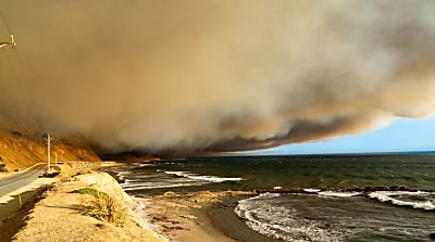
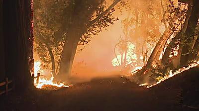
| 22AUG20/Saturday - day 4 at the "P&M B&B" in Sunnyvale... fires still burning and growing and getting closer to Boulder Creek... we're still getting settled-in in Sunnyvalle... major grocery shopping... |
Start Date 2020-08-17
Last Updated 2020-08-21 10:10:10HRS
Admin Unit UNIFIED COMMAND: CAL FIRE San Mateo-Santa Cruz Unit, Santa Cruz Co. Sheriff’s Office, and San Mateo Co. Sheriff’s Office
County Santa Cruz, San Mateo
Location Various locations across San Mateo and Santa Cruz Counties
Acres Burned 63,000
Percent Contained 5%
|
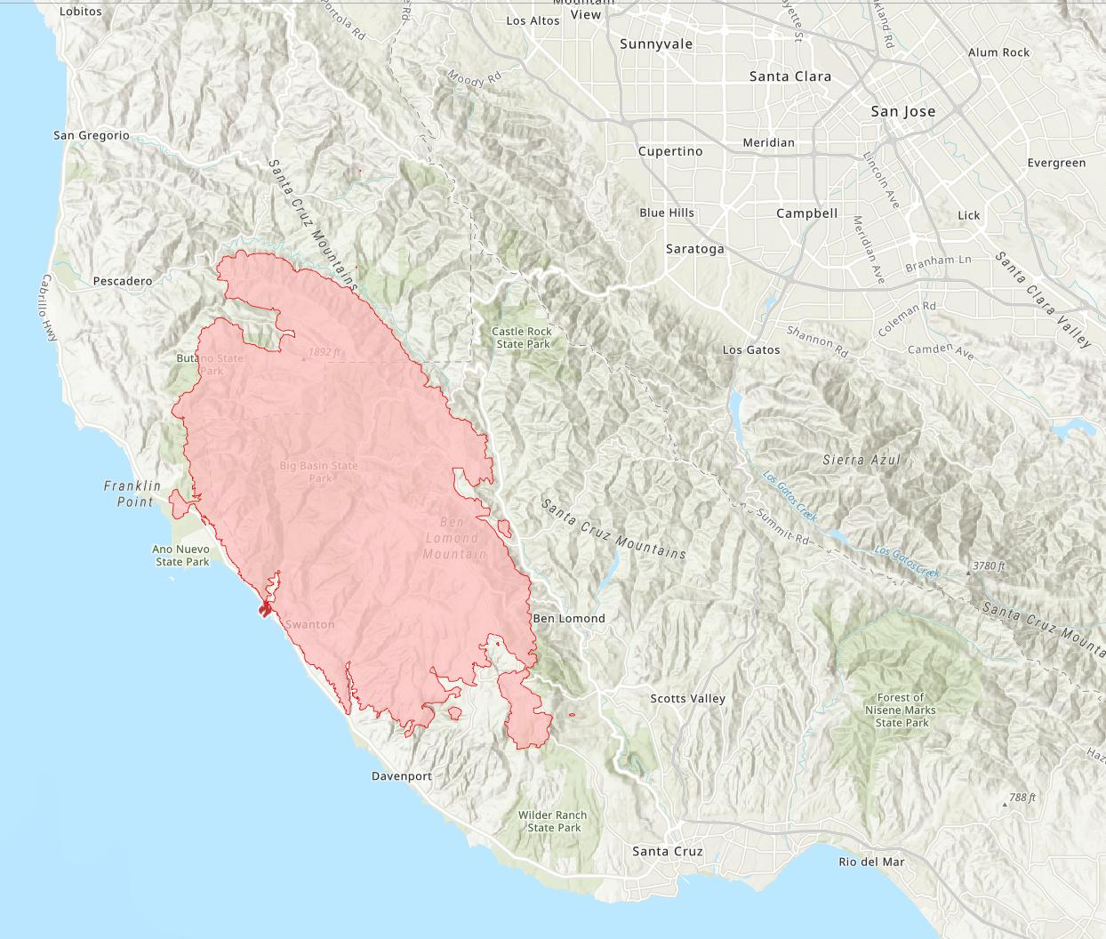
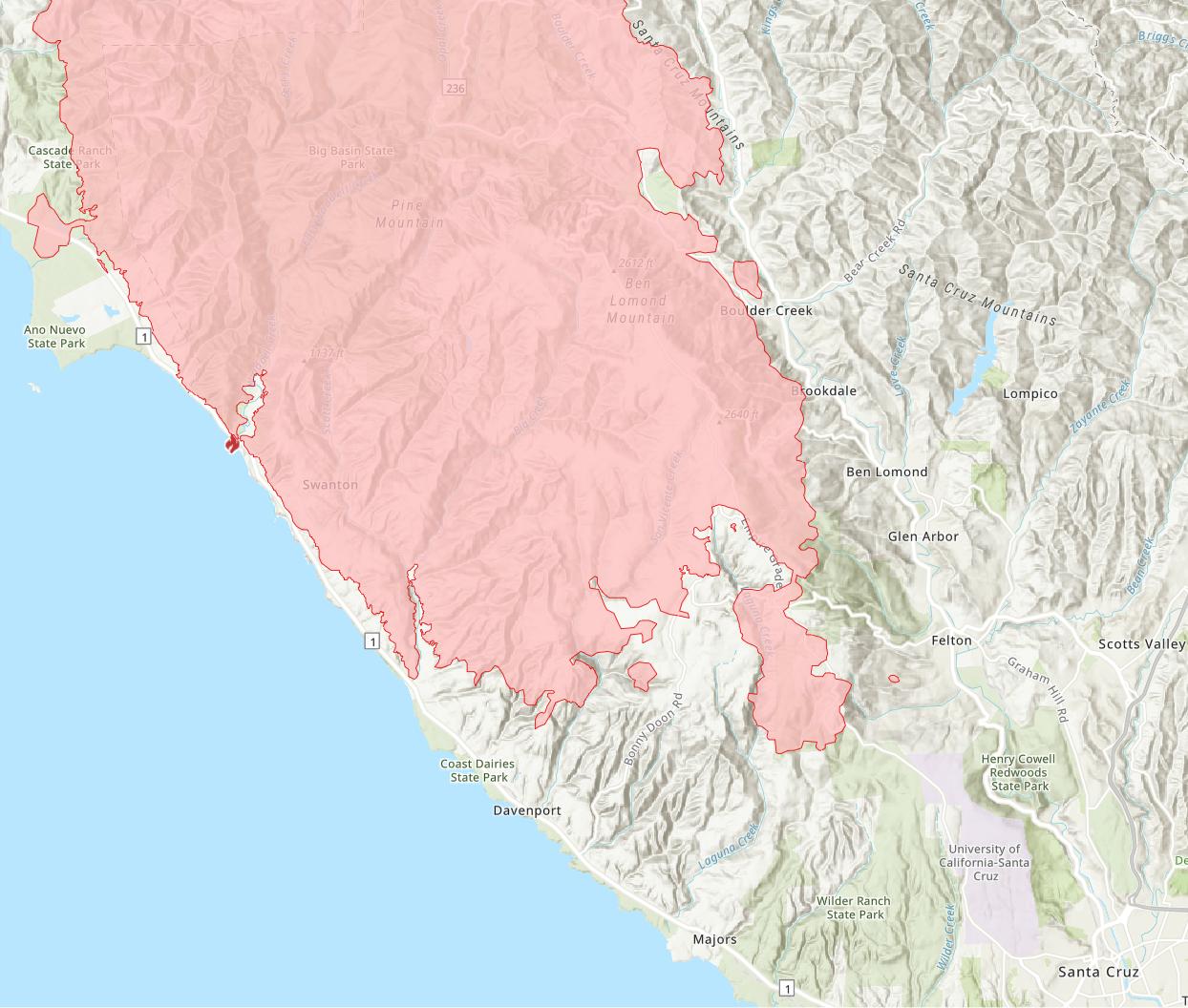 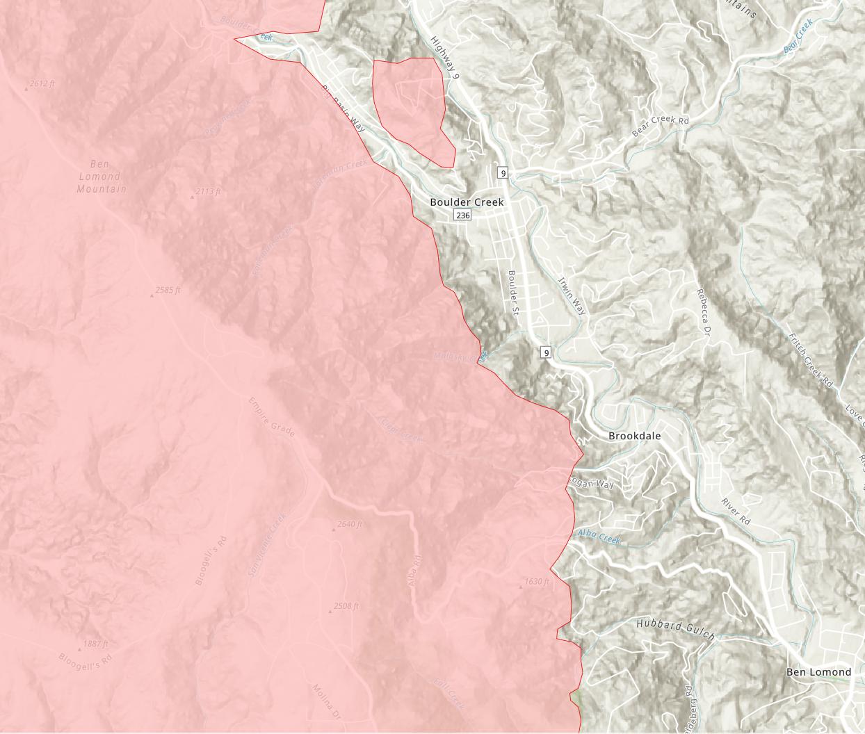
Start Date 2020-08-17
Last Updated 2020-08-22 20:10:51HRS
Admin Unit UNIFIED COMMAND: CAL FIRE San Mateo-Santa Cruz Unit, Santa Cruz Co. Sheriff’s Office, and San Mateo Co. Sheriff’s Office
County Santa Cruz, San Mateo
Location Various locations across San Mateo and Santa Cruz Counties
Acres Burned 67,000
Percent Contained 5% |
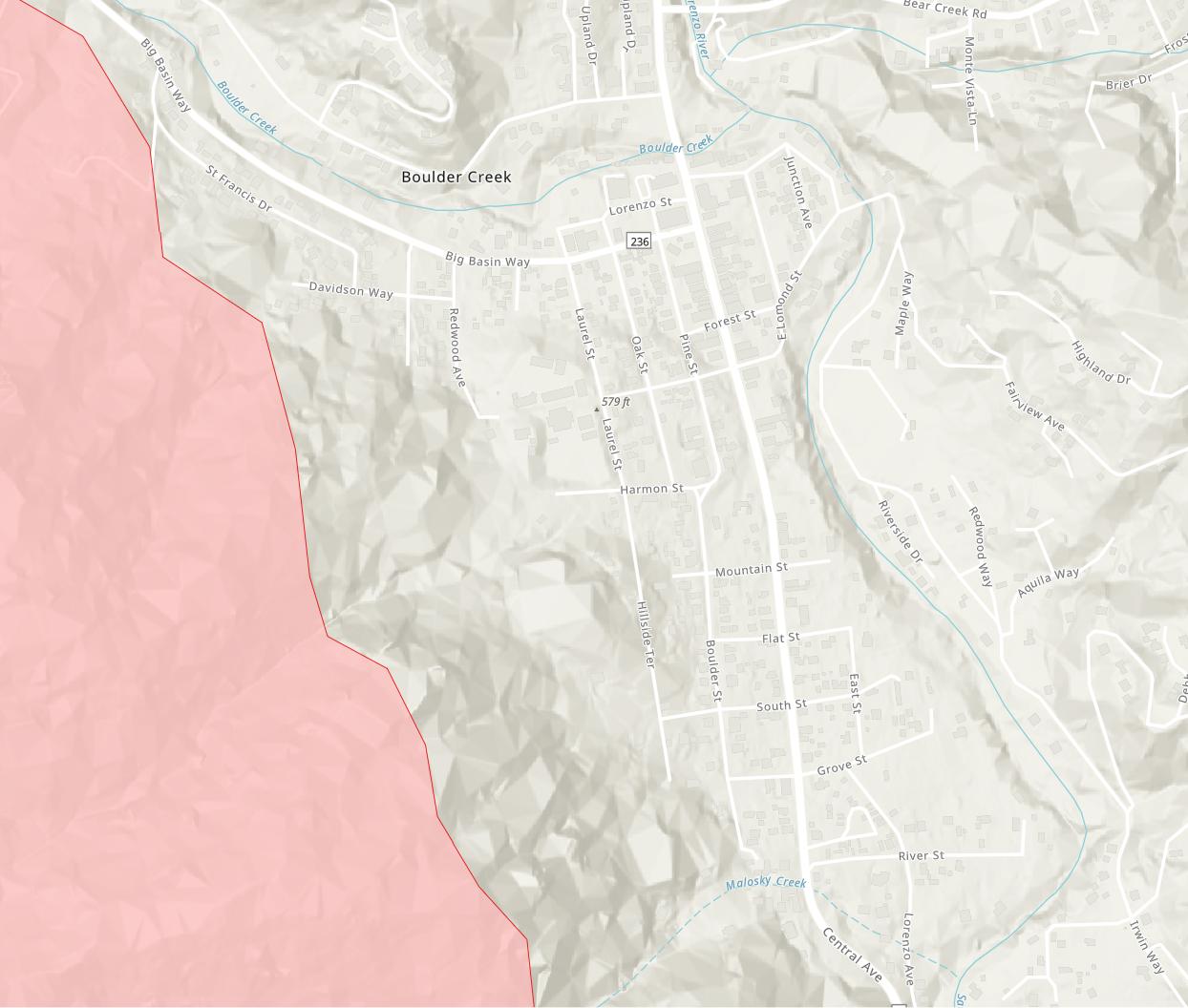
so far, so good...
... as of yesterday around 8pm... |
Start Date 2020-08-17
Last Updated 2020-08-23 20:43:43
Admin Unit UNIFIED COMMAND: CAL FIRE- Santa Cruz Co. Sheriff’s Office, San Mateo Co. Sheriff’s Office, Bureau of Land Management, Felton Fire Protection District, Santa Cruz County Fire Department, San Mateo County Fire Department, Boulder Creek Fire Department, Ben Lomond Fire Protection District
County Santa Cruz, San Mateo
Location Various locations across San Mateo and Santa Cruz Counties
Acres Burned 74,000
Percent Contained 8%
|
Start Date 2020-08-17
Last Updated 2020-08-24 12:08:57
Admin Unit UNIFIED COMMAND: CAL FIRE- Santa Cruz Co. Sheriff’s Office, San Mateo Co. Sheriff’s Office, Bureau of Land Management, Felton Fire Protection District, Santa Cruz County Fire Department, San Mateo County Fire Department, Boulder Creek Fire Department, Ben Lomond Fire Protection District
County Santa Cruz, San Mateo
Location Various locations across San Mateo and Santa Cruz Counties
Acres Burned 78,000
Percent Contained 13%
|

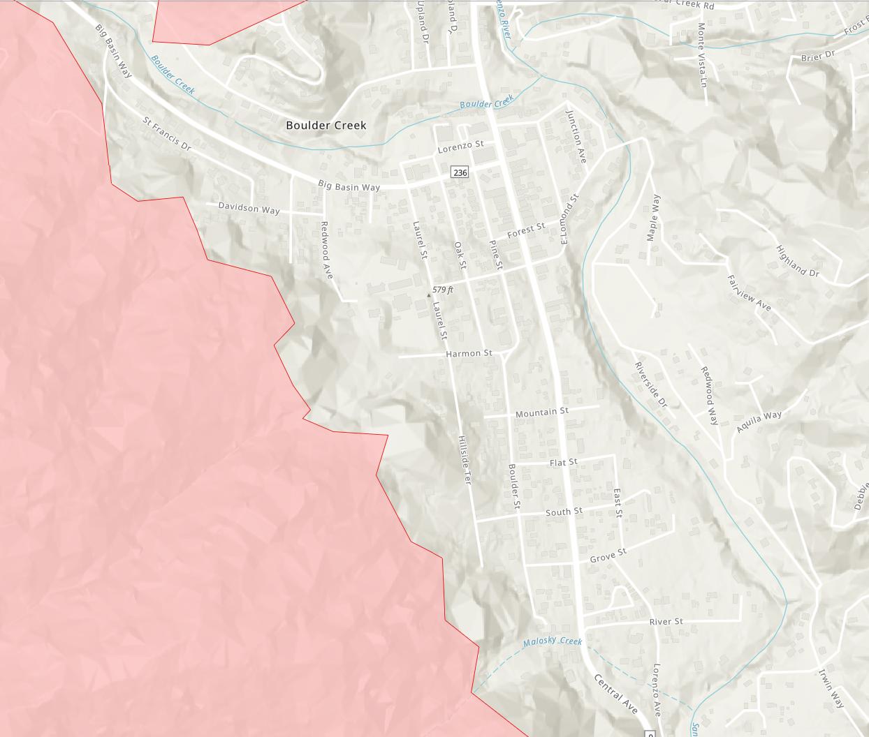
still so far, so good...
... as of about 4:30 today...
... seems to have stalled in the immediate area of interest since last night around 8pm...
...waiting to see which way the line moves when it does move again... |
Start Date 2020-08-17
Last Updated 2020-08-24 16:48:35
Admin Unit UNIFIED COMMAND: CAL FIRE- Santa Cruz Co. Sheriff’s Office, San Mateo Co. Sheriff’s Office, Bureau of Land Management, Felton Fire Protection District, Santa Cruz County Fire Department, San Mateo County Fire Department, Boulder Creek Fire Department, Ben Lomond Fire Protection District
County Santa Cruz, San Mateo
Location Various locations across San Mateo and Santa Cruz Counties
Acres Burned 78,000
Percent Contained 13%
|
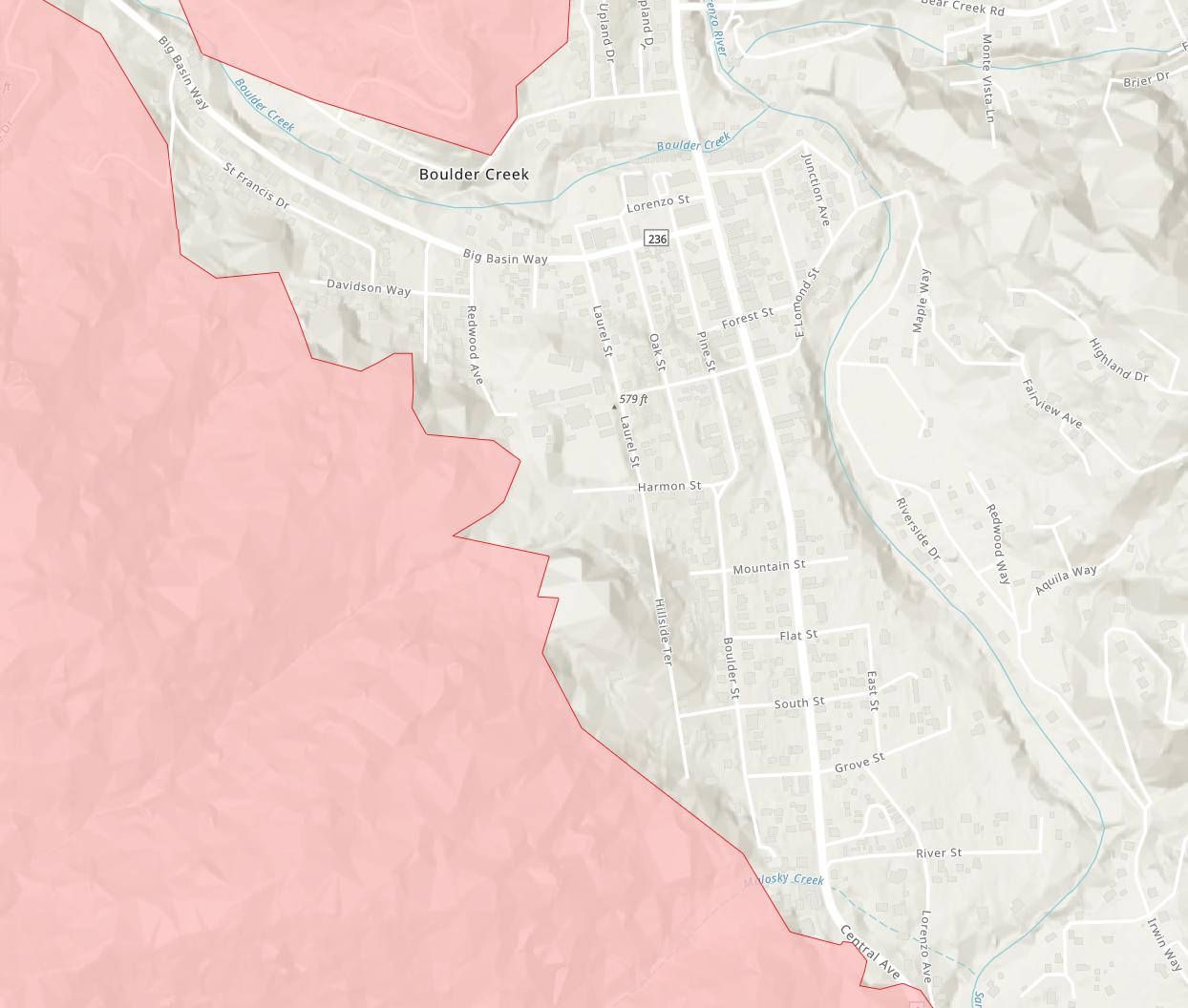
Start Date 2020-08-17
Last Updated 2020-08-24 20:52:29
Admin Unit UNIFIED COMMAND: CAL FIRE- Santa Cruz Co. Sheriff’s Office, San Mateo Co. Sheriff’s Office, Bureau of Land Management, Felton Fire Protection District, Santa Cruz County Fire Department, San Mateo County Fire Department, Boulder Creek Fire Department, Ben Lomond Fire Protection District
County Santa Cruz, San Mateo
Location Various locations across San Mateo and Santa Cruz Counties
Acres Burned 78,684
Percent Contained 13%
|
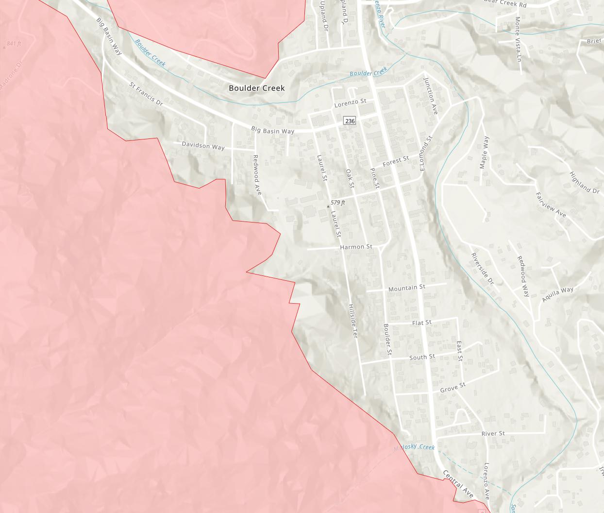
Start Date 2020-08-17
Last Updated 2020-08-25 08:18:35
Admin Unit UNIFIED COMMAND: CAL FIRE- Santa Cruz Co. Sheriff’s Office, San Mateo Co. Sheriff’s Office, Bureau of Land Management, Felton Fire Protection District, Santa Cruz County Fire Department, San Mateo County Fire Department, Boulder Creek Fire Department, Ben Lomond Fire Protection District
County Santa Cruz, San Mateo
Location Various locations across San Mateo and Santa Cruz Counties
Acres Burned 78,869
Percent Contained 17%
|
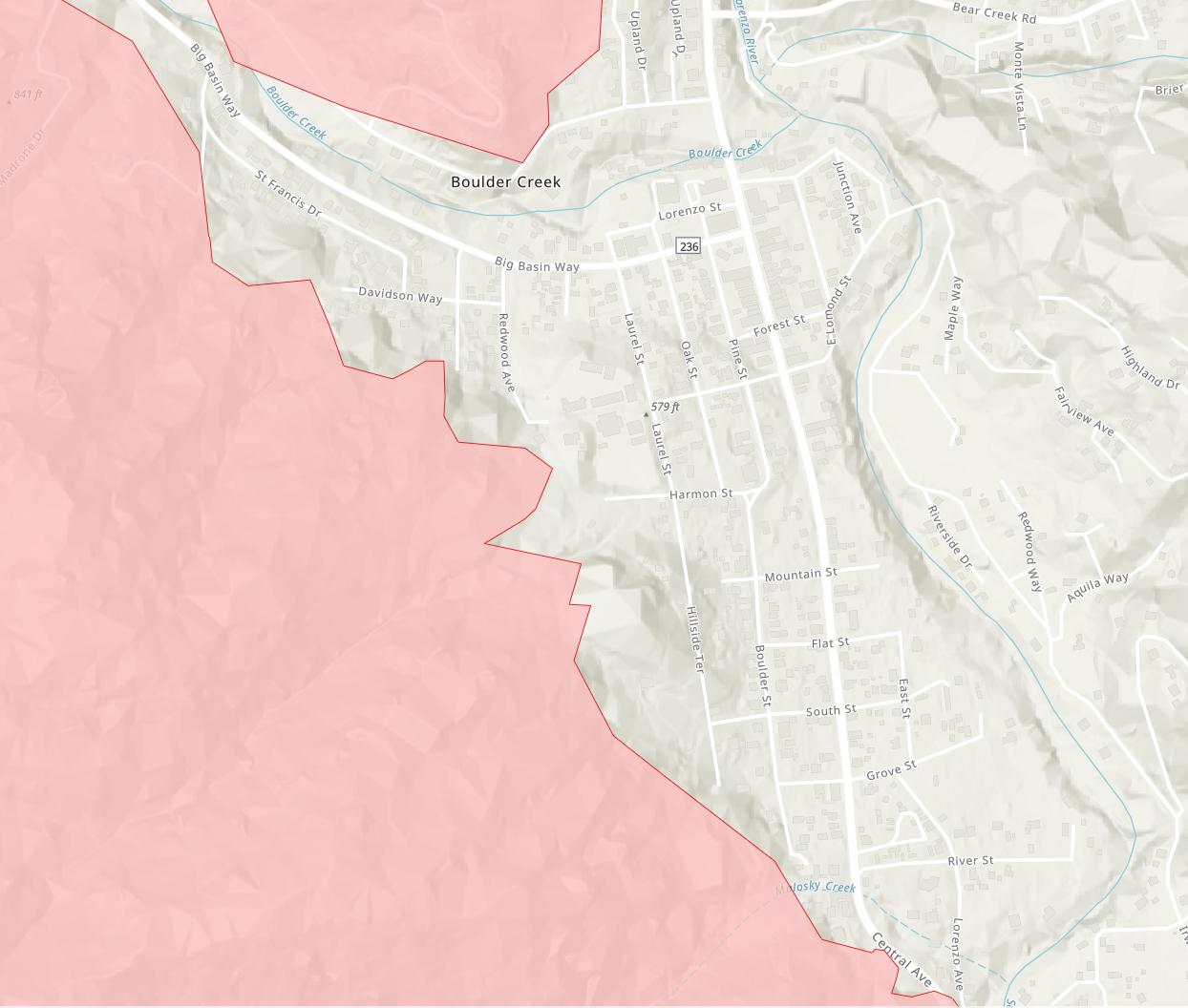
Start Date 2020-08-17
Last Updated 2020-08-25 16:16:46
Admin Unit UNIFIED COMMAND: CAL FIRE- Santa Cruz Co. Sheriff’s Office, San Mateo Co. Sheriff’s Office, Bureau of Land Management, Felton Fire Protection District, Santa Cruz County Fire Department, San Mateo County Fire Department, Boulder Creek Fire Department, Ben Lomond Fire Protection District
County Santa Cruz, San Mateo
Location Various locations across San Mateo and Santa Cruz Counties
Acres Burned 78,869
Percent Contained 17%
|
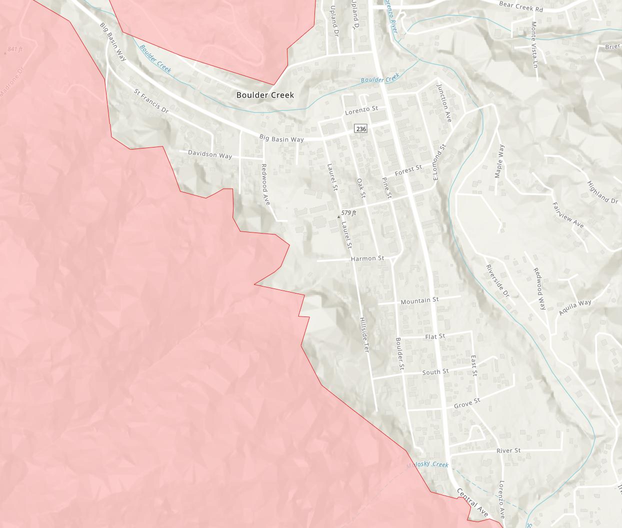
Start Date 2020-08-17
Last Updated 2020-08-25 20:02:11
Admin Unit UNIFIED COMMAND: CAL FIRE- Santa Cruz Co. Sheriff’s Office, San Mateo Co. Sheriff’s Office, Bureau of Land Management, Felton Fire Protection District, Santa Cruz County Fire Department, San Mateo County Fire Department, Boulder Creek Fire Department, Ben Lomond Fire Protection District
County Santa Cruz, San Mateo
Location Various locations across San Mateo and Santa Cruz Counties
Acres Burned 79,640
Percent Contained 19%
|
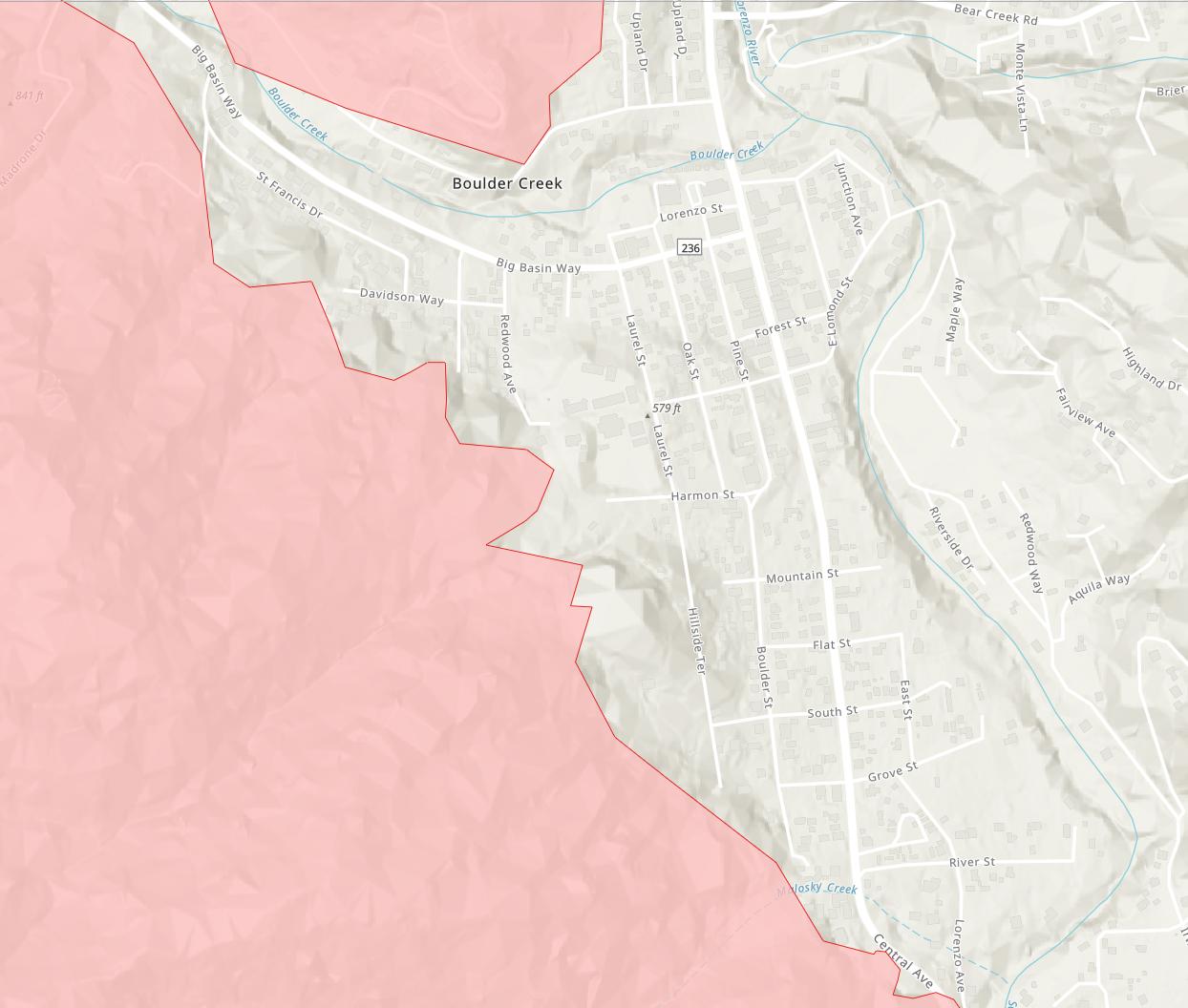
Start Date 2020-08-17
Last Updated 2020-08-25 22:48:58
Admin Unit UNIFIED COMMAND: CAL FIRE- Santa Cruz Co. Sheriff’s Office, San Mateo Co. Sheriff’s Office, Bureau of Land Management, Felton Fire Protection District, Santa Cruz County Fire Department, San Mateo County Fire Department, Boulder Creek Fire Department, Ben Lomond Fire Protection District
County Santa Cruz, San Mateo
Location Various locations across San Mateo and Santa Cruz Counties
Acres Burned 79,640
Percent Contained 19%
|
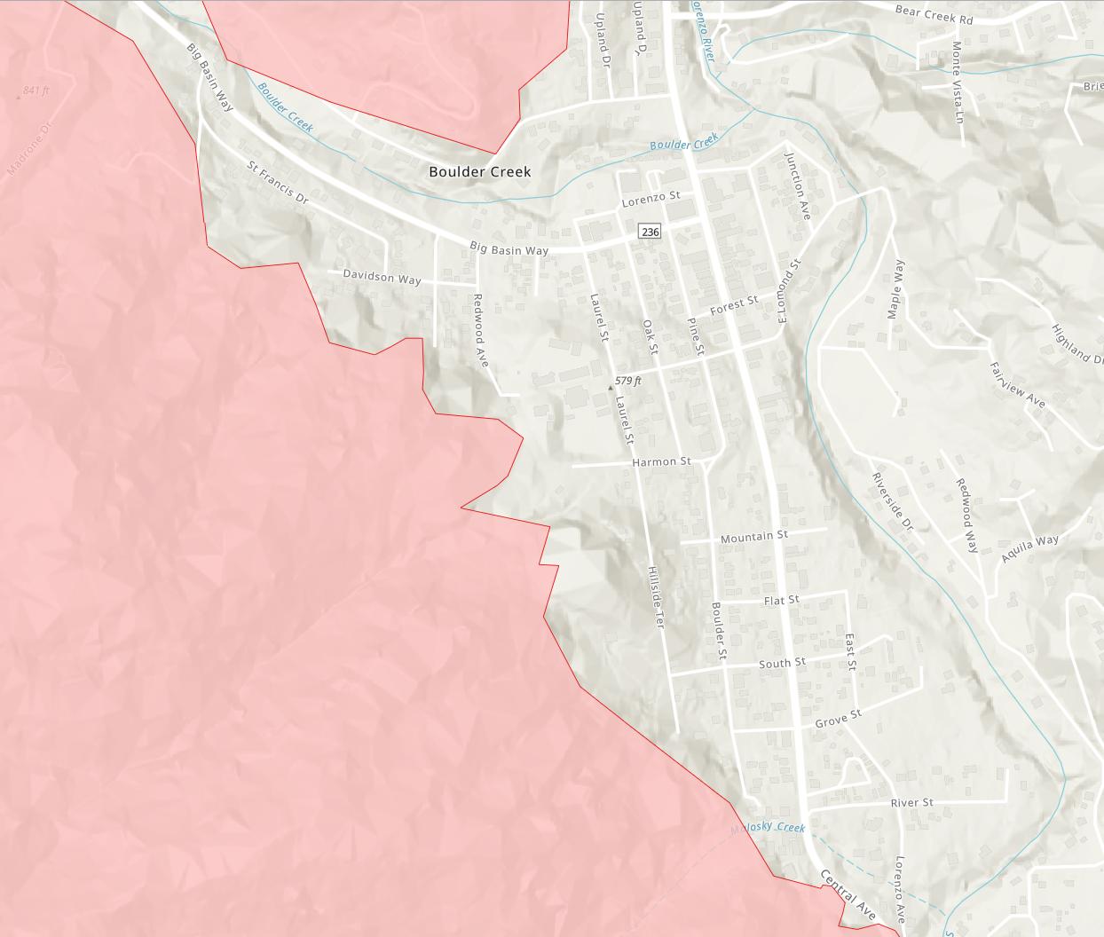
80,137 acres and 19% contained as of 2020-08-26 11:54am
- no discernable change on map... |
81,137 acres and 21% contained as of 2020-08-26 19:44:35hrs
- no discernable change on map... |
81,333 acres and 23% contained as of 2020-08-27 09:17:35hrs
- small advance nearby... |
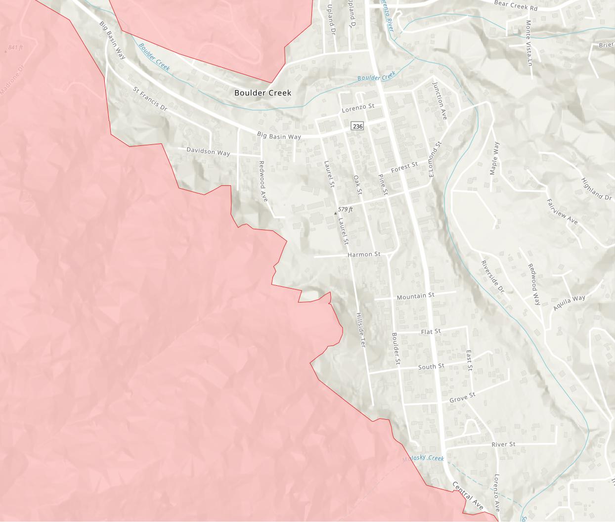
82.540 acres and 26% contained as of 2020-08-28 07:28:22hrs
- no discernable change...
|
82,540 acres and 26% contained as of 2020-08-28 15:13:52hrs
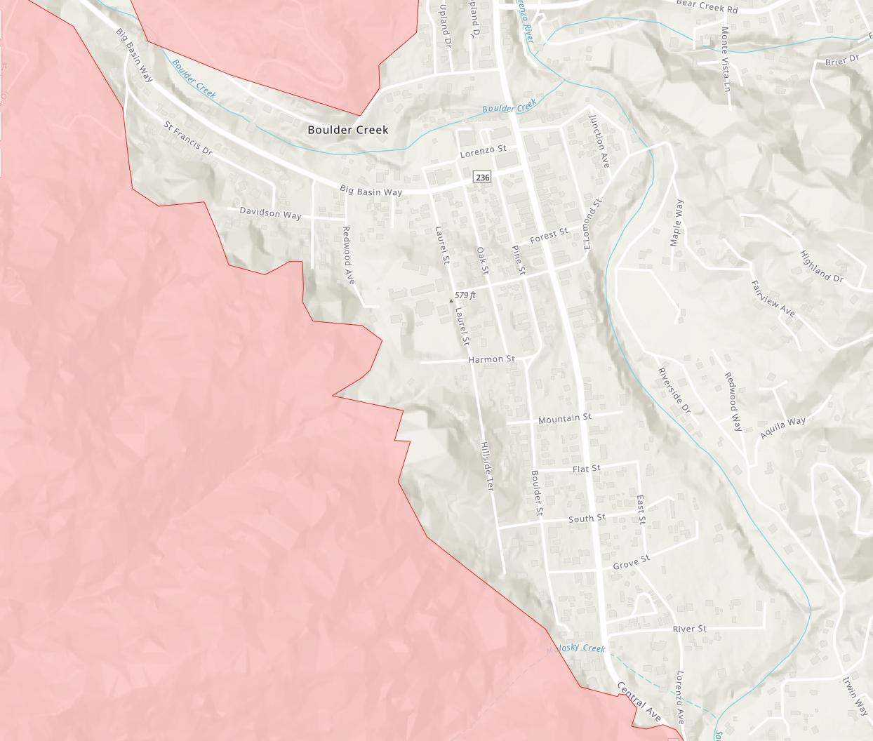
- small retreat north of Big Basin Way... |
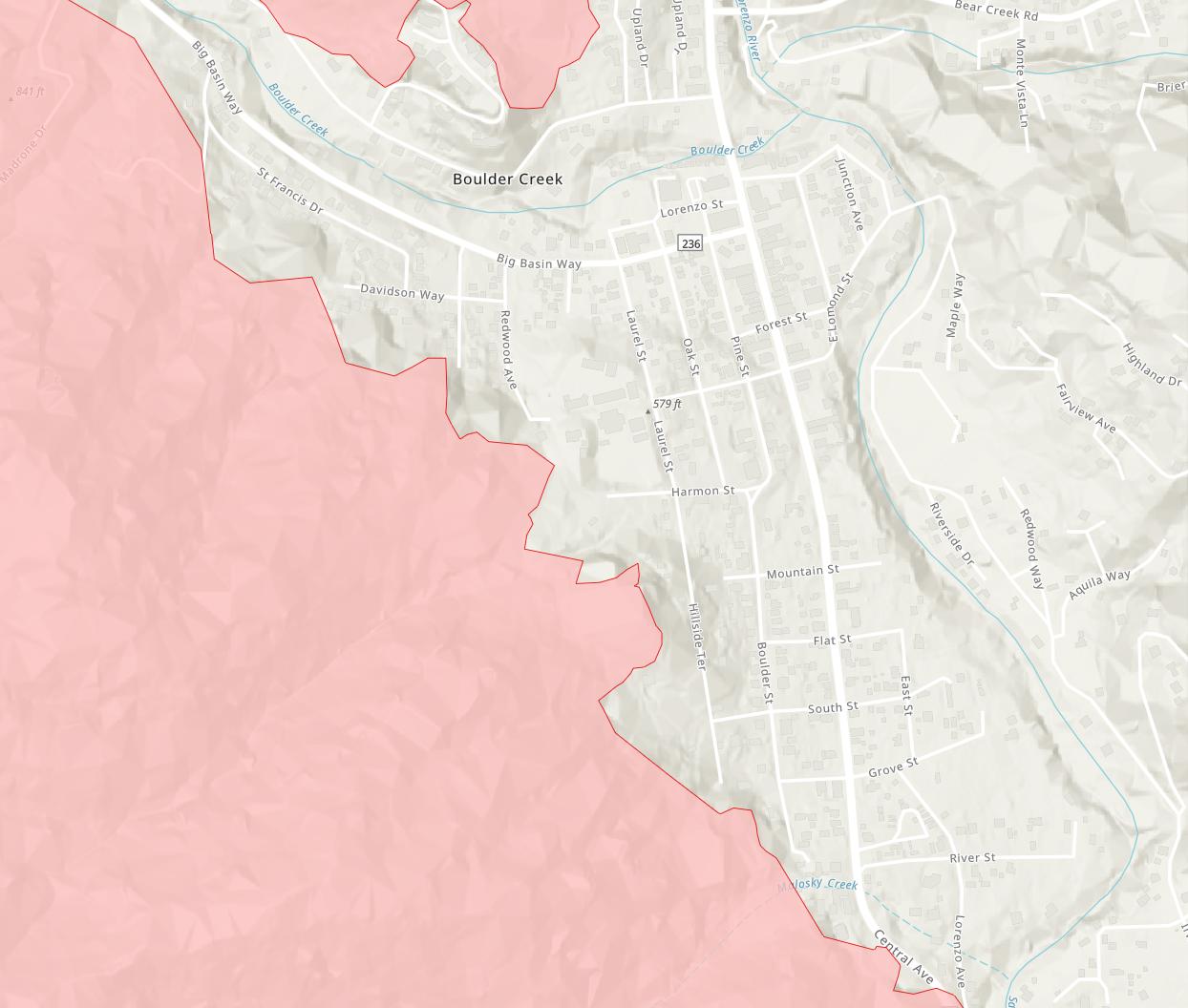
83,335 acres and 29% contained as of 2020-08-29 07:44:26hrs
- small advance south of Big Basin Way... |
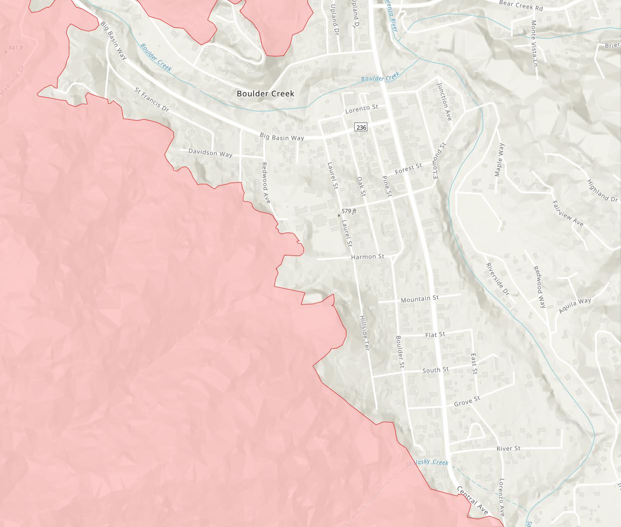 |
84,338 acres and 33% contained as of 2020-08-29 19:52:44hrs
- small advance nearby... |
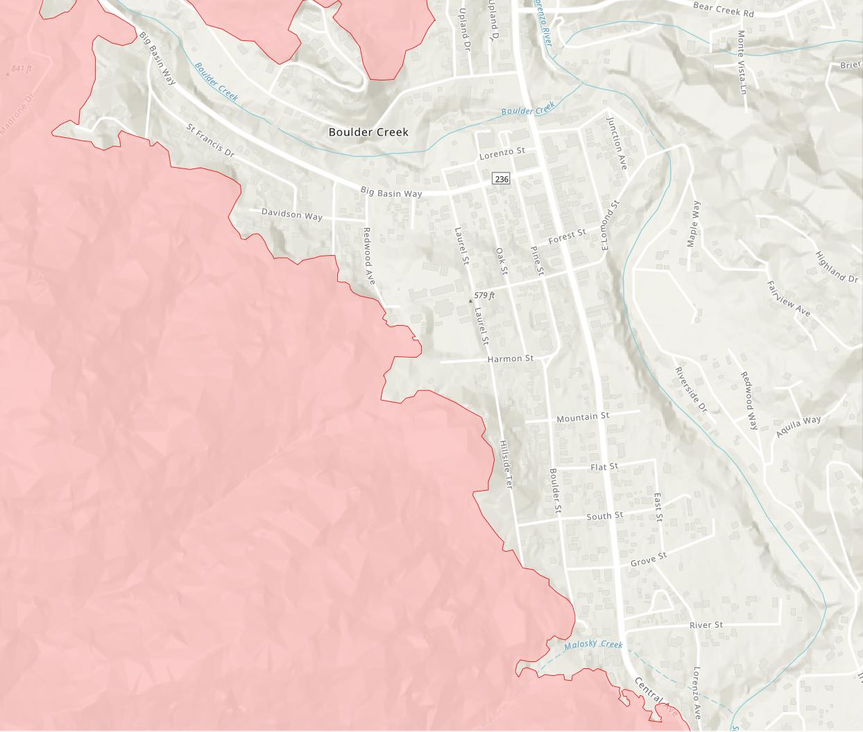
84,640 acres and 35% contained as of 2020-08-30 07:50:38hrs
- no discernable change on map... |
84,640 acres and 39% contained as of 2020-08-31 07:31:28hrs
- no discernable change on map... |
85,218 acres and 43% contained as of 2020-09-01 07:34:59hrs
- no discernable change on map... |
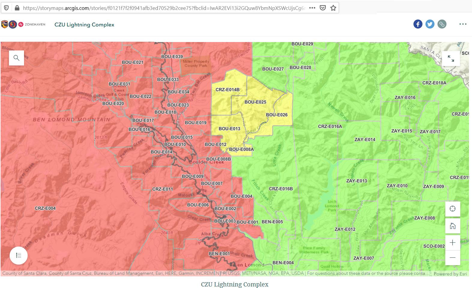
9/1/20 3:00pm: Santa Cruz County Sheriff's Office
Repopulation of areas surrounding East edge of Bear Creek:
BOU-E008A
BOU-E0013
BOU-E025
BOU-E026
CRZ-E014B
Today evacuation orders for zones BOU-E008A, BOU-E0013, BOU-E025, BOU-E026, CRZ-E014B, Back Ranch Rd and the rest of El Soyo Heights were lifted and moved to evacuation warnings.
There is still heavy machinery and utility companies working along the Highway 9 corridor and using it to access areas that have been impacted by the fires. We are working to get everyone home, but there is a process we go through before opening-up each zone. The process includes analyzing each zone with Cal Fire, water districts, PG&E, logging companies, CalTrans and other agencies to make sure the area is safe to repopulate.
For those who are heading home, please check out Cal Fire’s website with information on returning home safely – www.readyforwildfire.org/post-wildfire/after-a-wildfire/
You may notice some zones are split into different sections, if your zone is on the list of repopulated areas, please check the following website to make sure you are in that section of the zone -- https://storymaps.arcgis.com/stories/f0121f7f2f0941afb3ed70529b2cee75.
For a more in-depth fire assessent, please see the @CAL FIRE CZU San Mateo-Santa Cruz Unit Facebook page.
NOTE: THE DARK GRAY SQUIGILY LINE IS THE FIRE LINE...
NOTE: NEED ZONE BOU-E009 STATUS CHANGED FROM EVACUATION TO WARNING... |
85,467 acres and 46% contained as of 2020-09-02 07:46:59hrs
- still no discernable change on map... |
9/2/20 3:00pm: Santa Cruz County Sheriff's Office
Repopulation of Boulder Creek areas including Brookdale.
Hwy 1 is also open to thru traffic only.
*Boulder Brook Drive and South Redwood Drive still remain under evacuation order due to electrical hazards.
BOU-E001
BOU-E002
BOU-E003
BOU-E004
BOU-E005
BOU-E006
BOU-E007
BOU-E008B
BOU-E009
BOU-E010A
BOU-E011
BOU-E012
BOU-E014A
BOU-E015A
CRZ-E009C
CRZ-E011A
CRZ-E013A
FEL-E004B
NOTE: ZONE BOU-E009 STATUS CHANGED FROM EVACUATION TO WARNING...
Richard and Jack returned and started fridge clean out on Wednesday night
|
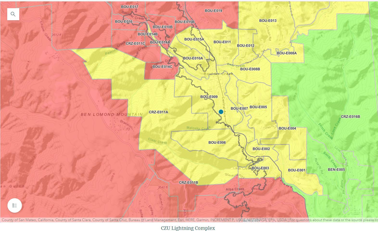
85,746 acres and 48% contained as of 2020-09-03 07:36:41hrs
- again still no discernable change on FIRE_TRACKER or damage information maps...
Richard, Jill, Jack, Tylee, Sox all came back this am to start cleaning
what's the status???
- "came back" to stay or still commuting from San Jose for now? STAYING
- everything was found same as when it was left (excepting ash covering): EVERYTHING OK
- electricity? YES
- water? YES.........BOTTLED WATER FOR DRINKING
- internet? YES
- roads clear? YES
- checkpoints? NO
- Bear Creek open? YES
- Hwy 9 open? YES
- air quality there? FINE
inquiring minds want to know...
|
04SEP20/9am: load the dogs into the Solora and head for Boulder Creek via Bear Creek Road...
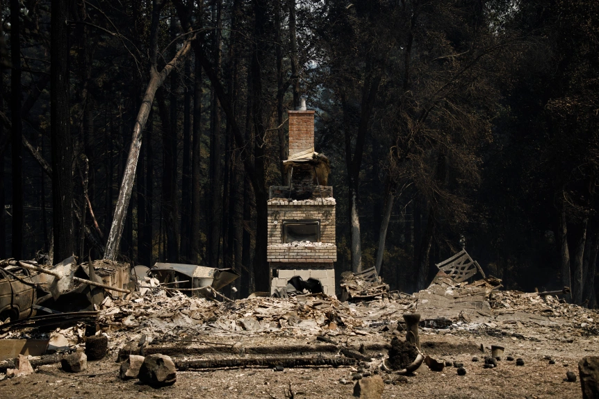
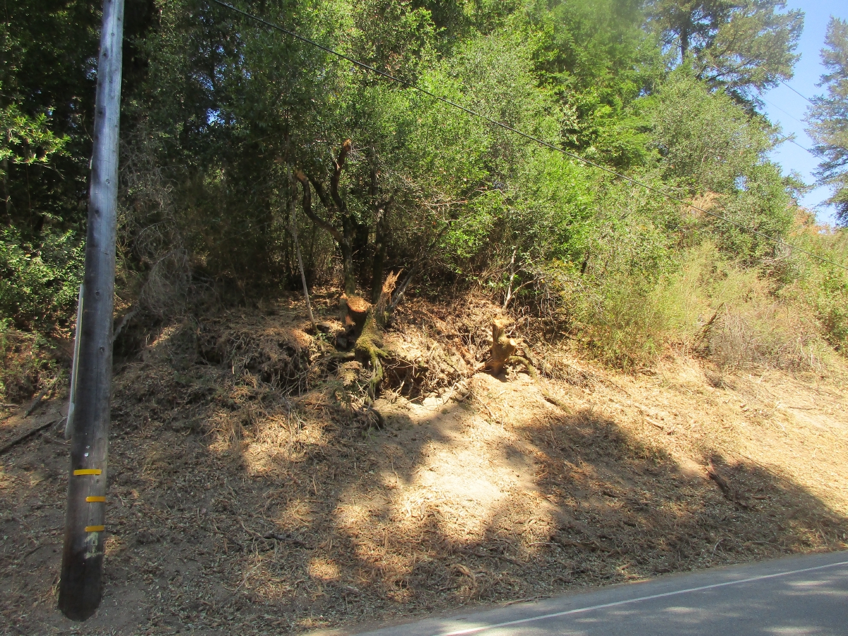
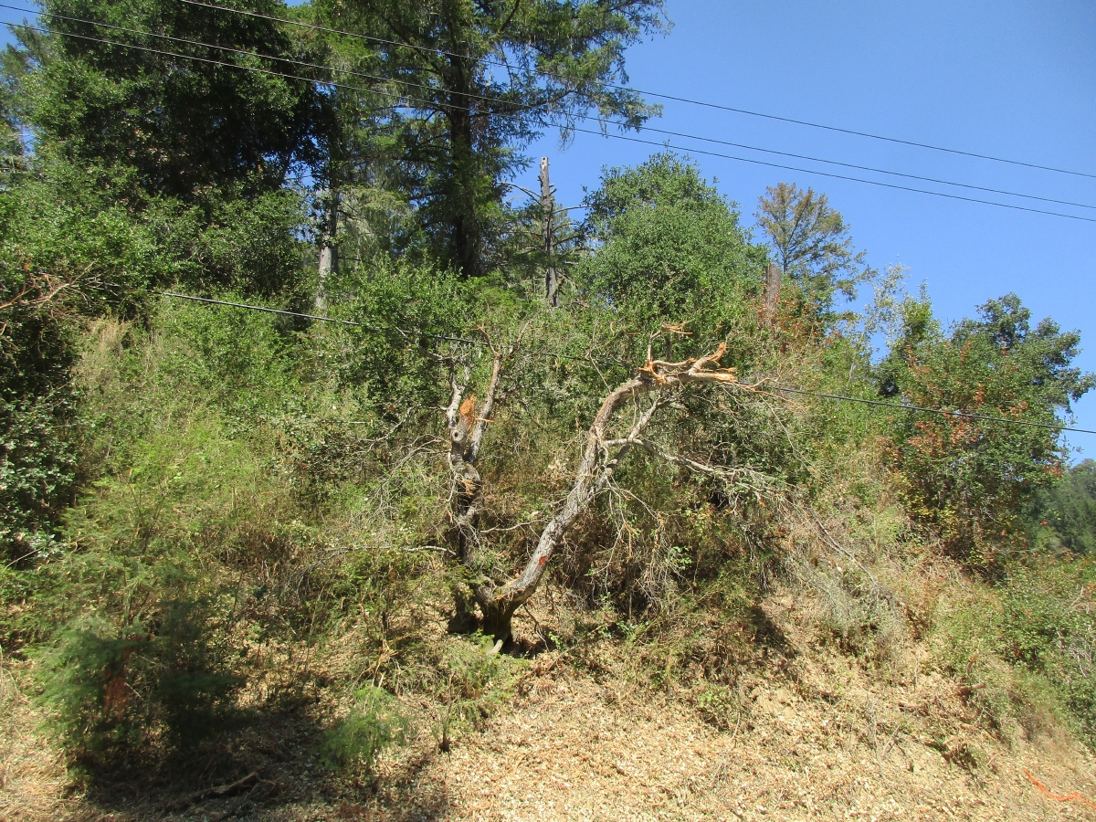
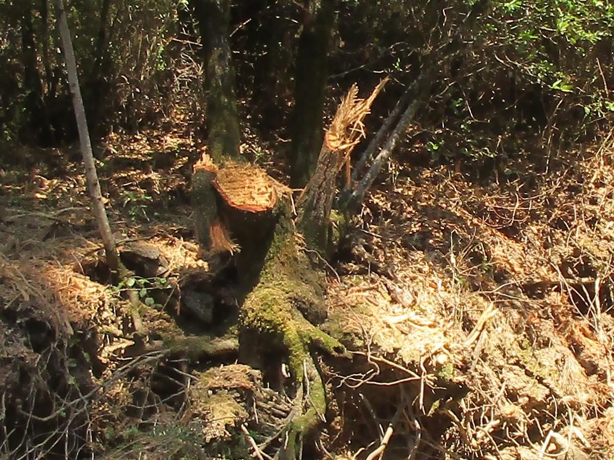
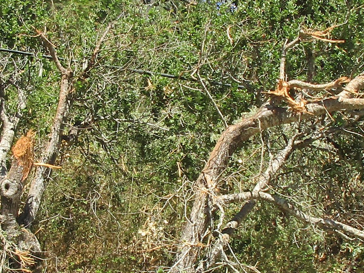
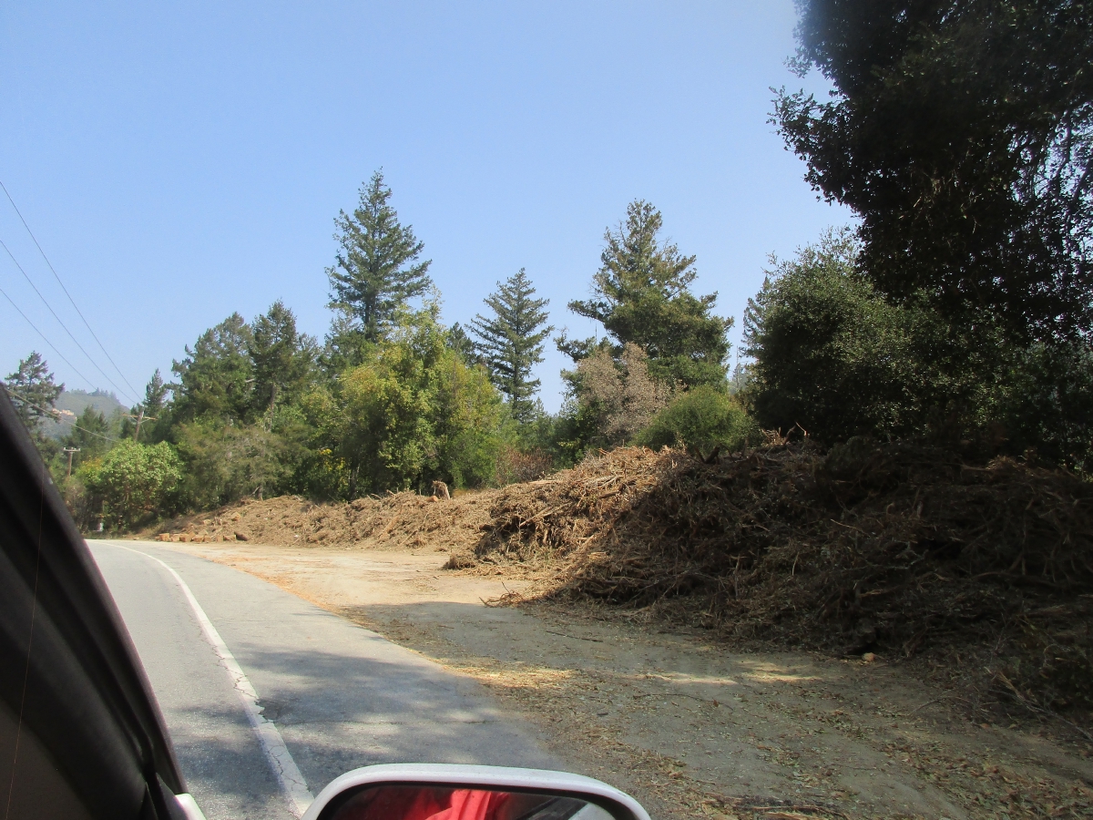
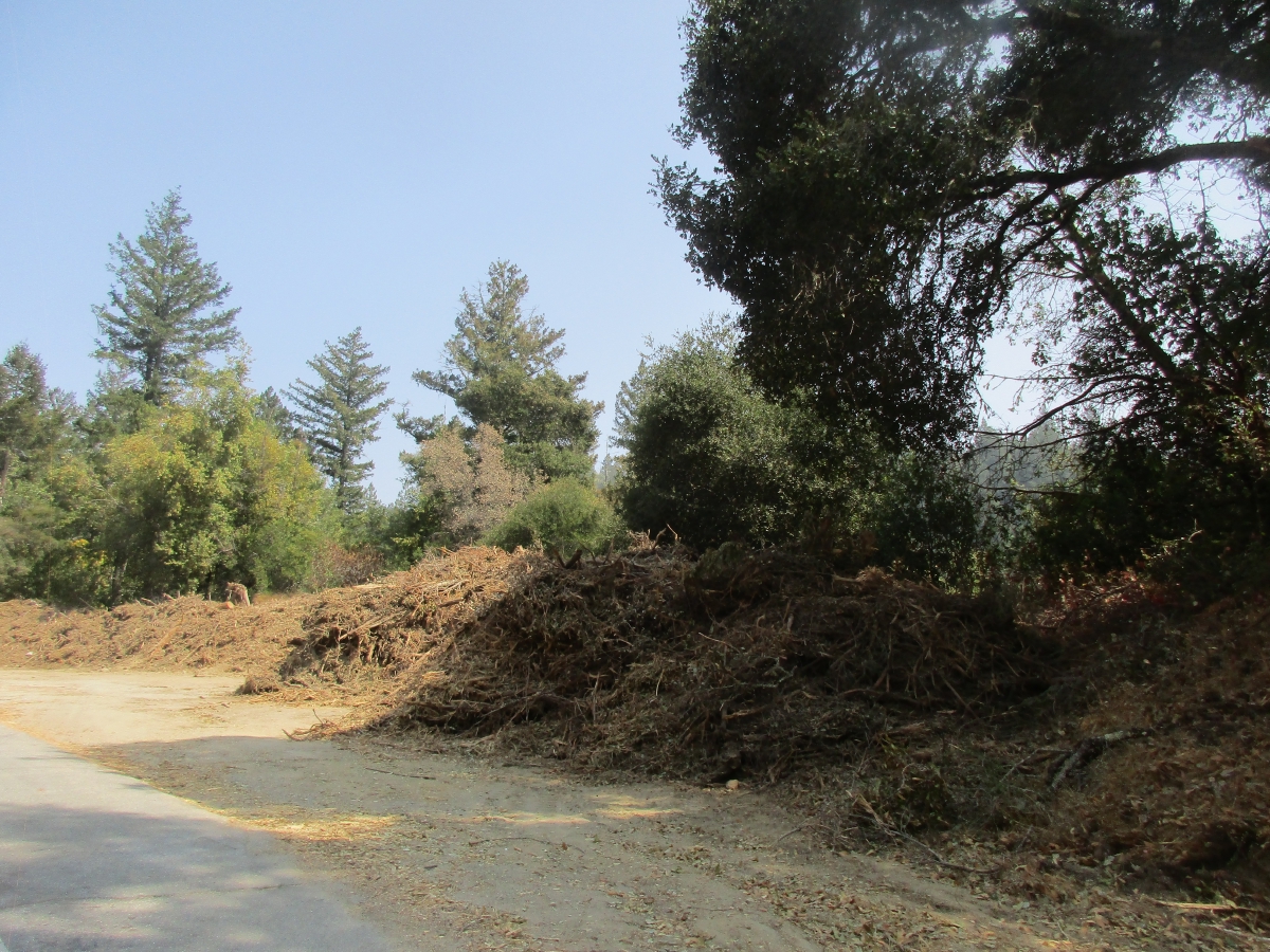
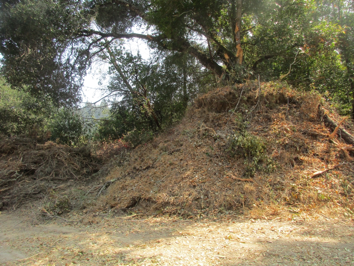
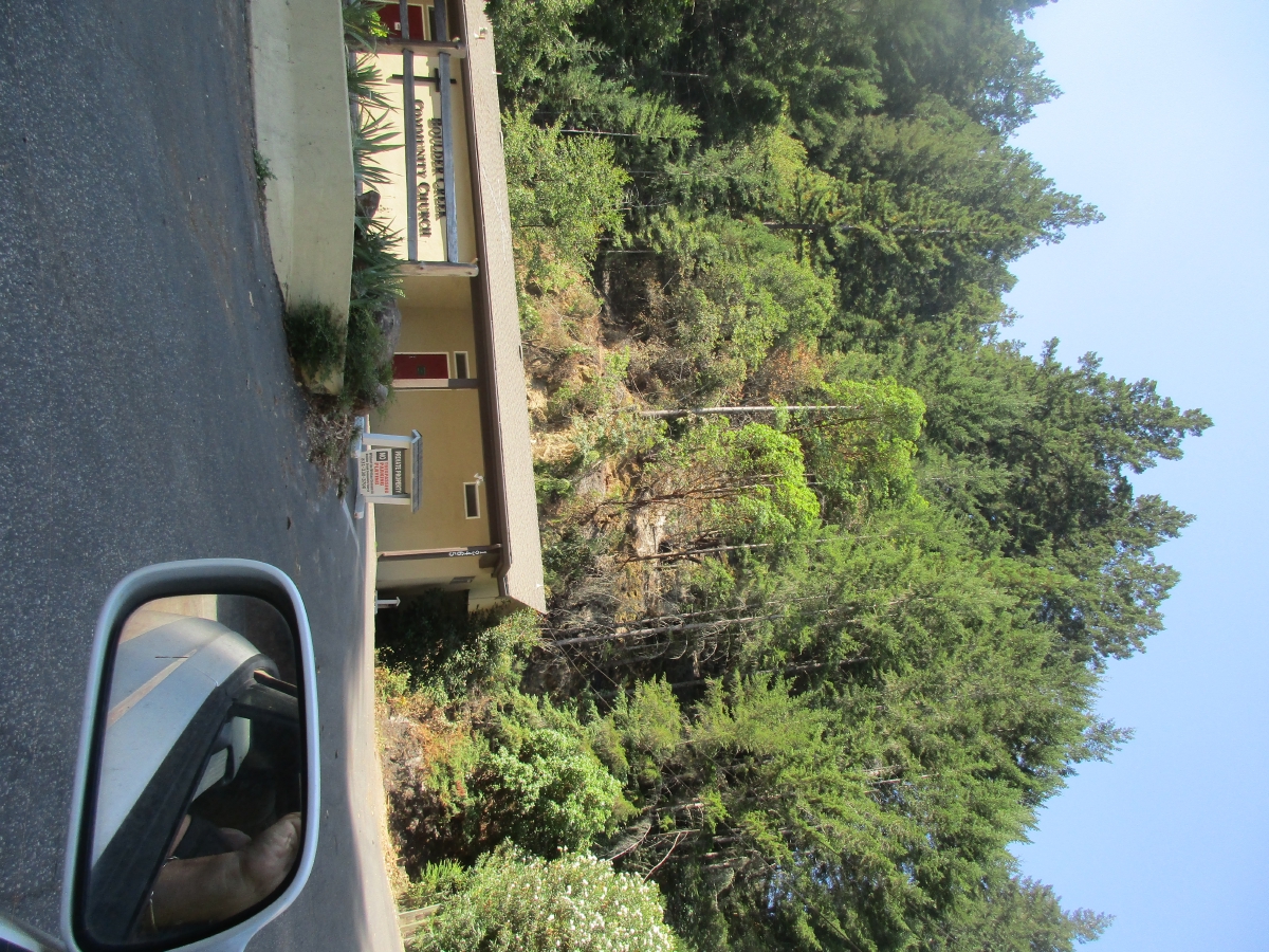
- on the Boulder Creek end of Bear Creek Road there were large piles of brush and frayed tree trunks and branches from tracktors with huge brush hogs that were widening the Bear Creek Road fire break and creating huge piles of brush on the sides of the road... photos below...
- the fire had come as close as the back yard of the house across the street... photo below of behind church a block away...
- area is still under "WARNING" as there are still "hot spots" that are being monitored...
- we had left behind the Geo (full of stuff), Sharon's sthmortster (full of leathers), my tools and necessary stuff till moving to Oregon... and all was AOK... so far...
- we emptied bedroom of personal stuff, most to garage, selected items to take back to Sunnyvale...
- put into the Solora a few items we wished we had taken when we evacuated: bag of karate sticks, manilla folder of karate forms notes, Pyrex coffee pot, ceramic coffee cup, Pendelton, some small food items, BOOTS, flip-flops, slippers, one 15# dumb bell... forgot the Manachevitz... oh well...
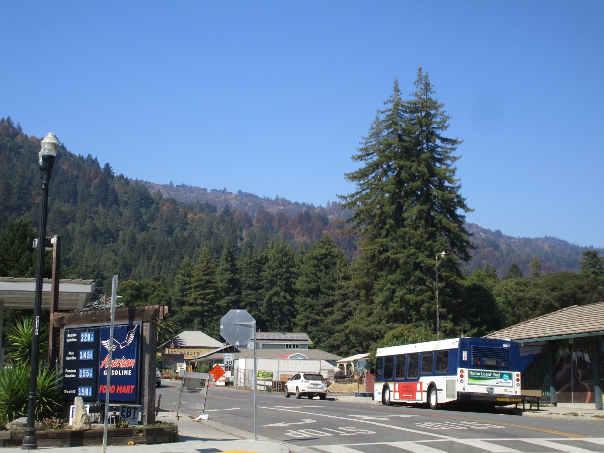
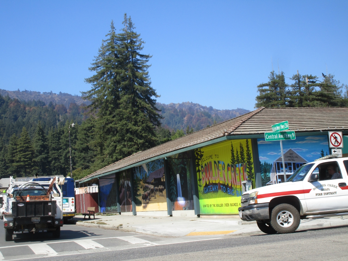
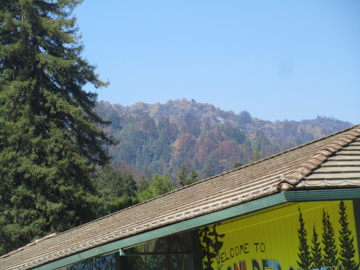
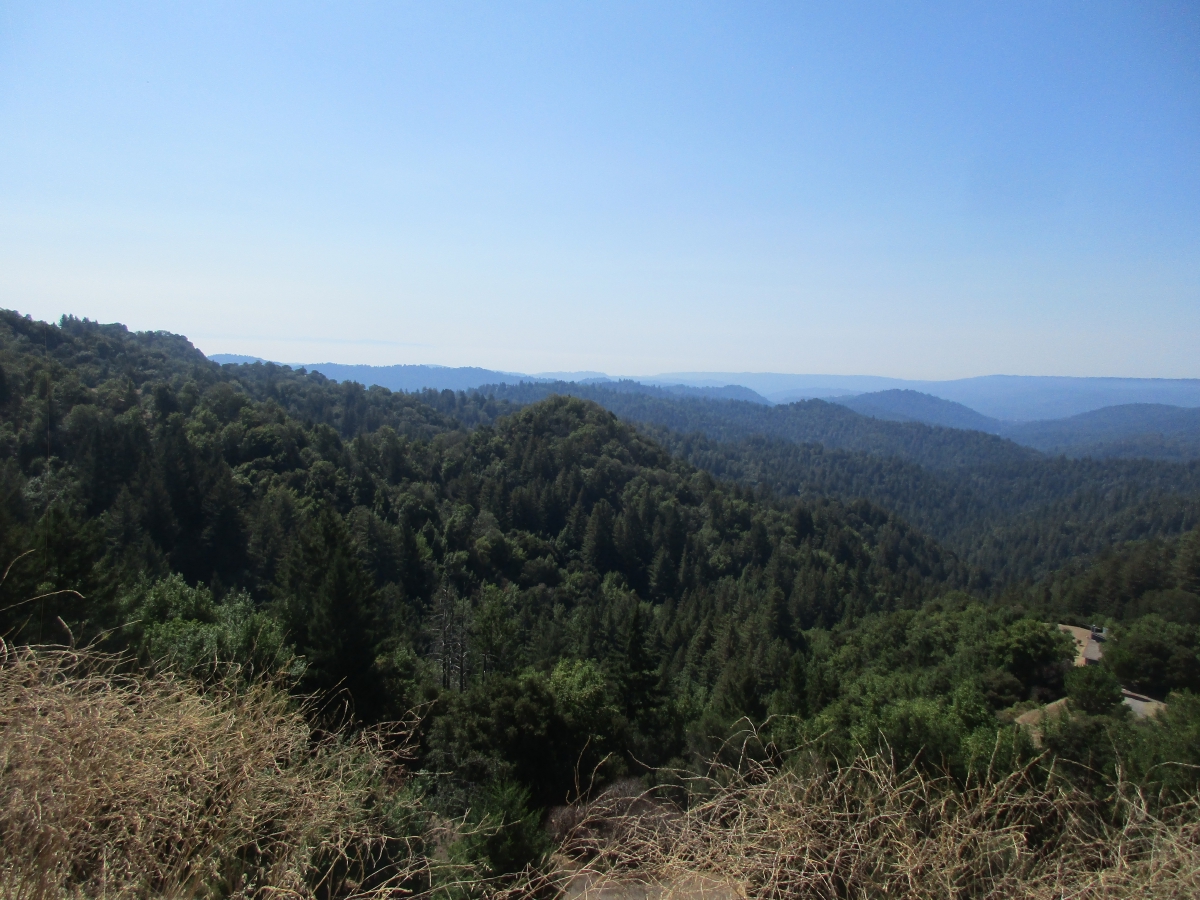
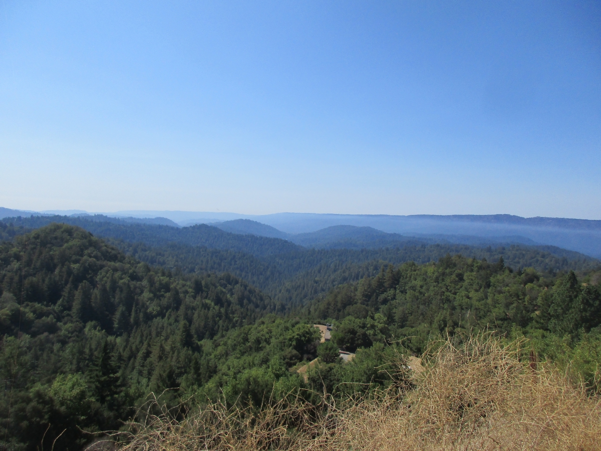
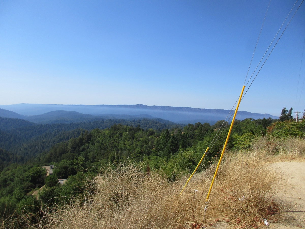
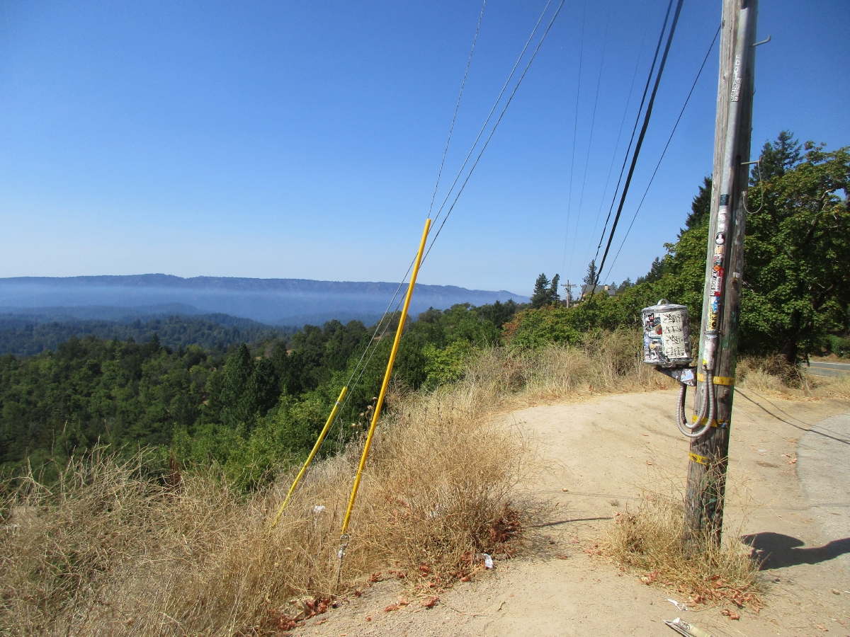
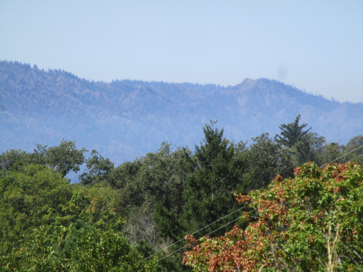
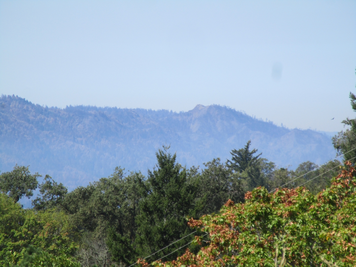
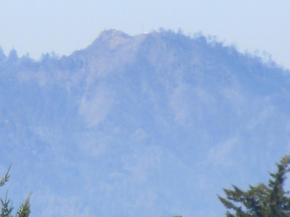
- on the way out of town we stopped at the intersection of 236 and 9 and took photos on top of burned mountains... the rocks were only visible previously if you hiked up there... now the rocks are all exposed...
- we stopped and took photos of tops of burned mountains on the turn out vista point on Bear Creek Road...
|
11SEP20 UPDATE:
86,509 acres and 85% contained as of 2020-09-11 07:24:07hrs
- no discernable change from map of 02SEP20...
- although there was a flare up at the grammer school just down the street from Richard's which was squelched with 10 water drops delivered by helicopters... |
17SEP20 UPDATE:
86,509 acres and 95% contained as of 2020-09-17 17 07:15:01hrs
- no discernable change from map of 02SEP20... |
17SEP20 UPDATE:
86,509 acres and 99% contained as of 2020-09-19 19:19:47hrs, 2020-09-20 19:12:49
- no discernable change from map of 02SEP20... |
23SEP20 FINALIZED: Active for 37 days, 86,509 acres and 100% contained as of 09/22/20 7:53PM
|
| ... THA... THA... THA... THAT'A ALL FOLKS... for now... |
|


